

Hello Friends,
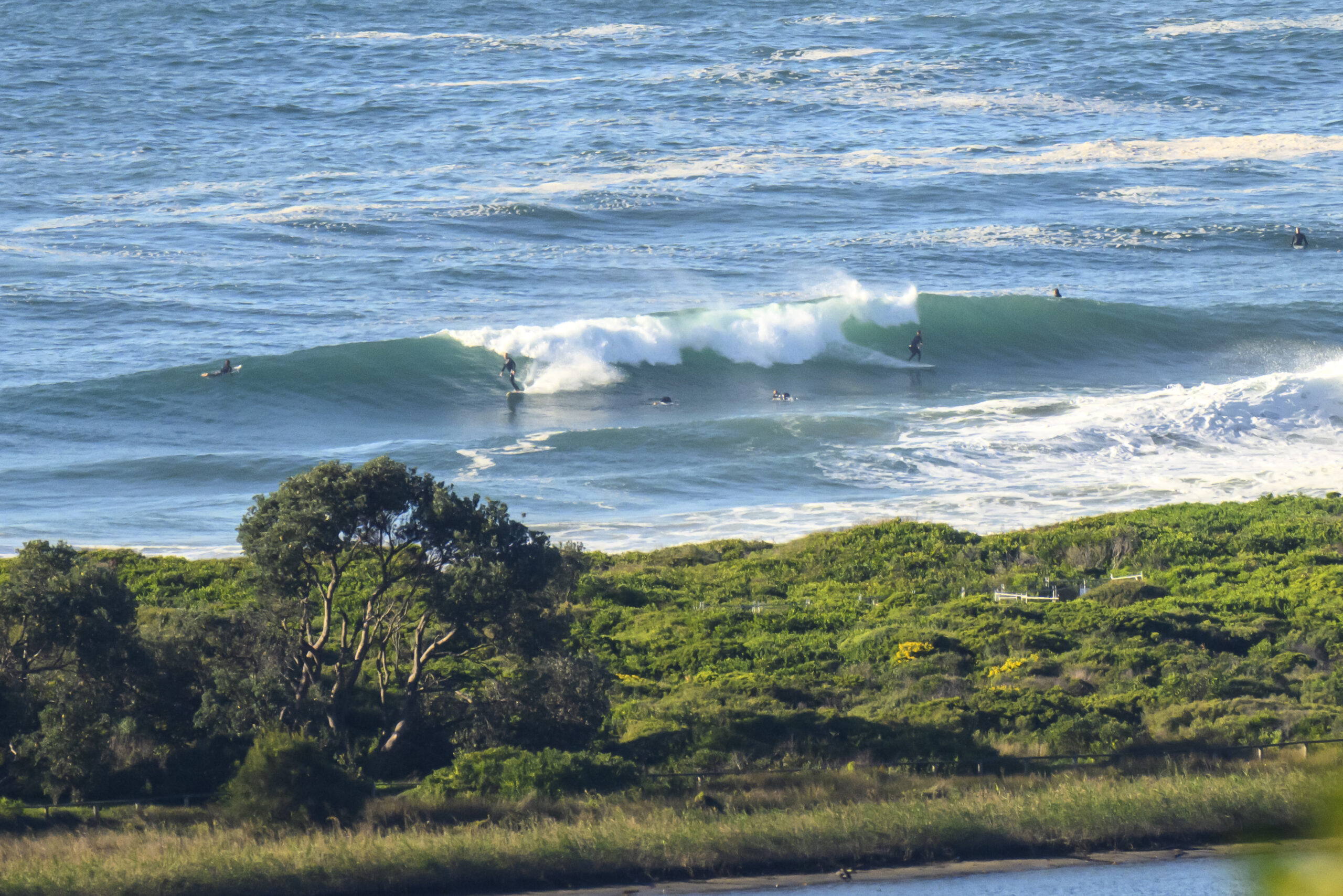
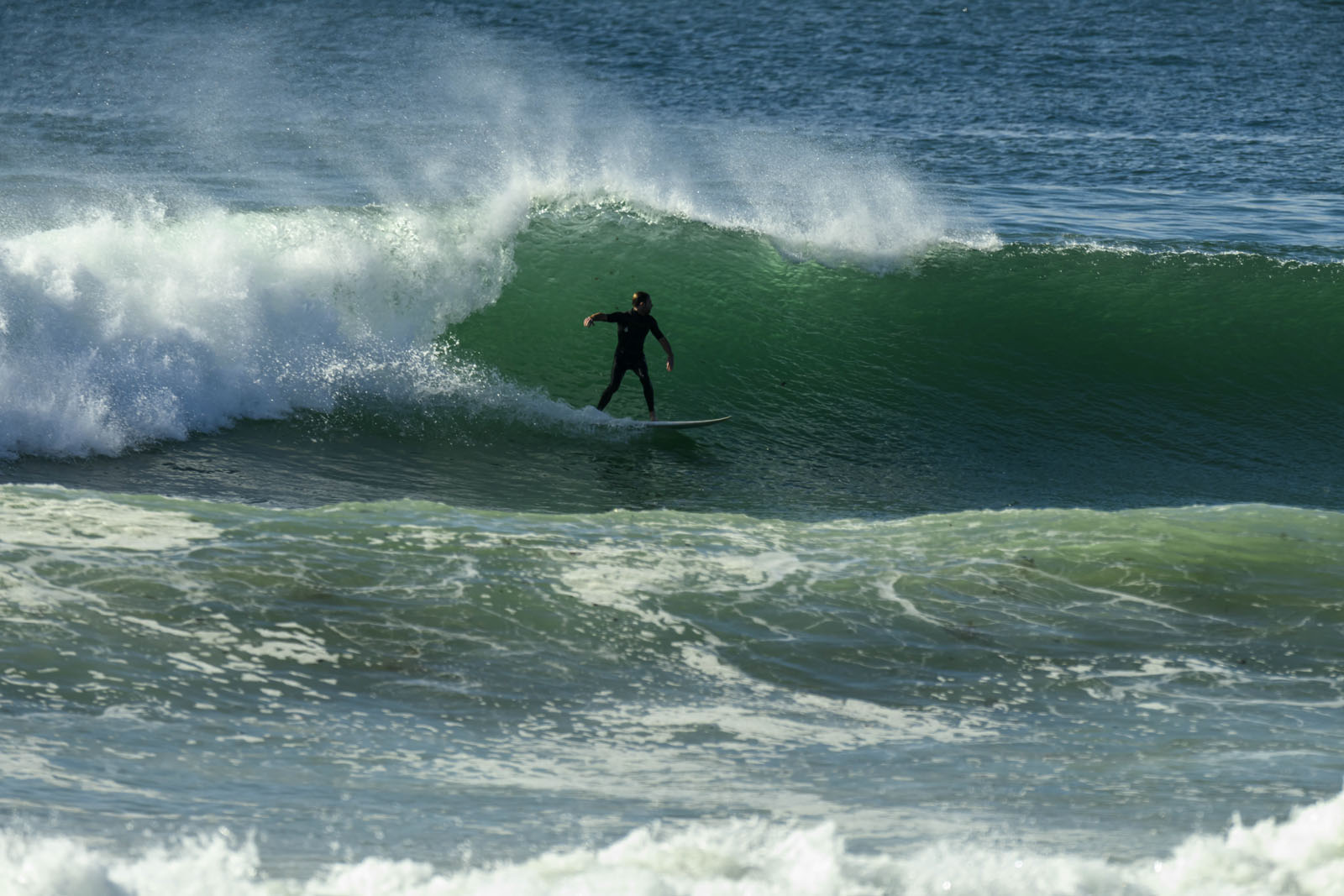
Warm one coming up but at least there was a little waist to plus NE wind swell coming in for the early. Wind’s set to be northerly this morning and then NE later. Tide was a high high at 0730 and will be back to a low 1415. Dee Why looked kinda lumpy and bumpy and a bit weak (thanks to the high tide swamping it and the short period of the wind swell). But, you could definitely catch ’em and I can’t think of a better way to get the 29th of January started.
Outlook is for this pattern to repeat more or less for the next few days.
The long range models once again are projecting some solid east swell from late next week. The problem is, they’re also saying we’ll have a fair amount of wind from the southerly quarters. Still, one would rather have plenty of swell and lots of wind than lots of wind and no swell!
Have yourself a great Wednesday everyone and go well with your plans.
Weather Situation
A high pressure system over the southern Tasman Sea extends a ridge along the New South Wales coast. This high will move very slowly east over the next few days while maintaining a ridge to the north coast. A weak low pressure trough is expected to move up the southern coast on Wednesday, before stalling.
Forecast for Wednesday until midnight
Winds
Northerly 15 to 20 knots turning northeasterly in the middle of the day.
Seas
1.5 to 2 metres.
Swell
Easterly below 1 metre.
Thursday 30 January
Winds
Northeasterly 15 to 20 knots.
Seas
1.5 to 2 metres.
Swell
Northeasterly around 1 metre.
Friday 31 January
Winds
North to northeasterly 15 to 20 knots.
Seas
1.5 to 2 metres, decreasing below 1.5 metres during the evening.
Swell
Easterly around 1 metre.


