Hello Friends,
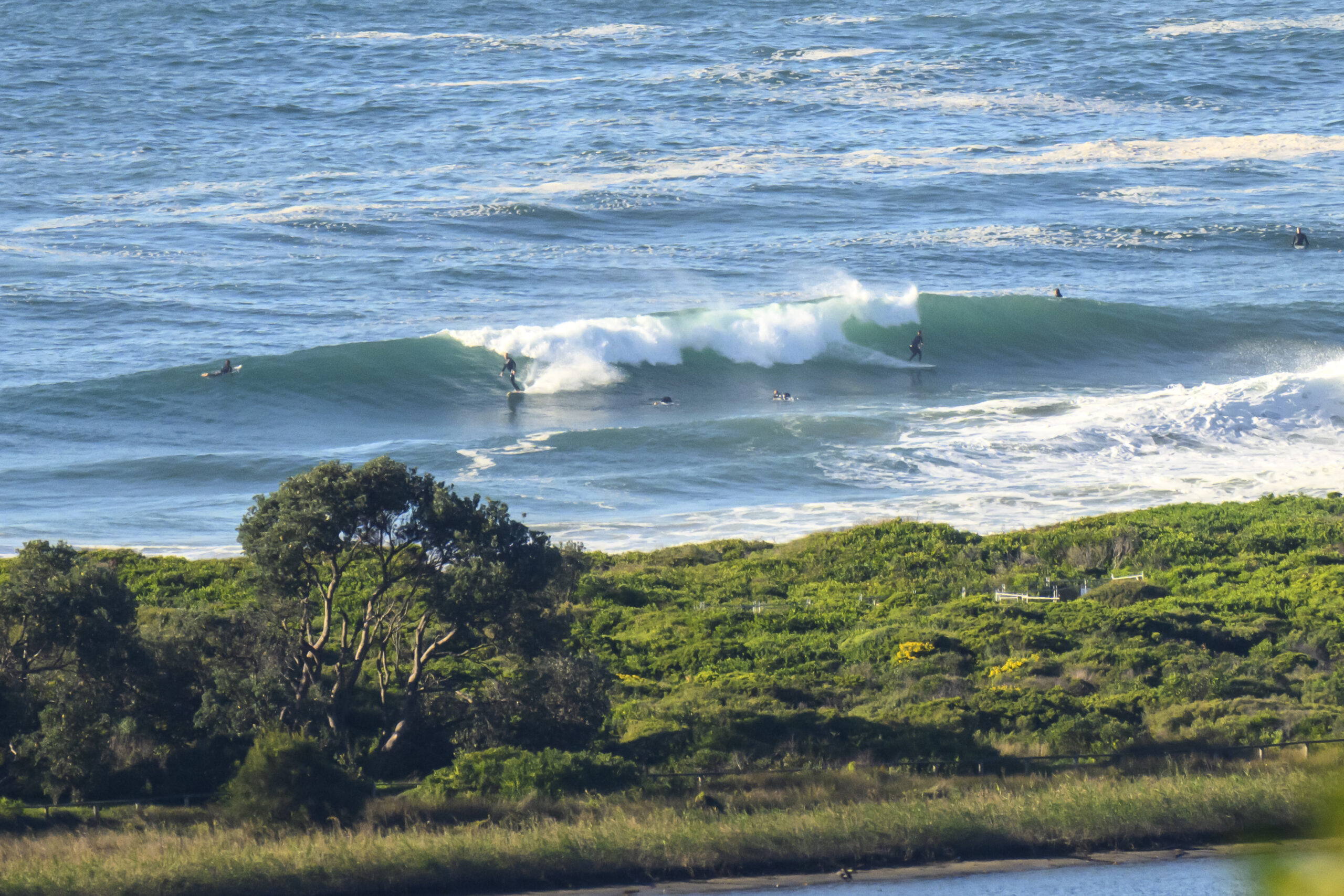
As expected, the wind came around to the S-SSE by 0730 this morning. The ocean was bumpy and lumpy with close to two metres of wind swell coming from the NE at 7 seconds apart, tide was low at 0725 and is now heading to a high at 1235. It should cloud up soon and there’s a 70% chance of rain later.
Surf quality is not too good at Dee Why, but if you don’t mind a building SE wind and some heaving lumpy conditions, there are definitely a few chest plus sets showing up along the beach at Dee Why. No one was out at the point, but it looked as though there might possibly be something of interest every now and then. NE exposed spots could be fun for a few hours before the SE finally knocks it about too much. Plus, the Bureau expects the swell to decrease from the easterly quarters as the seas start mounting up from the SE.
Tomorrow looks like being cloudy, cool and onshore with a SE to S wind swell building to a peak around the two metre mark.
Thursday should see cloudy skies, the odd drop of rain and the wind starting SE – but swinging NE later. Swell unfortunately is expected to start backing off again in the morning,
I’m not seeing much of interest in the long range swell modelling this morning. Basically it looks like bumbling along in this windswelly way for as far ahead as the predictions go. The Bureau’s predictions for T.C. Edna are only mildly interesting, The track is shown arcing around to the west of New Caledonia and curving back toward the east coast. But it’s projected to fade to a depression by that stage, so I can’t see us getting anything from it.
Have yourself a great Tuesday everyone, and stay happy!


Forecast issued at 4:10 am EDT on Tuesday 4 February 2014.
Weather Situation
A high pressure system over the eastern Tasman Sea extends a ridge into northeastern New South Wales, while a trough and associated cold front move into southern New South Wales. This trough will bring a gusty southerly change as it moves northwards during Tuesday, with another high pushing a ridge along the coast in its wake. Winds will gradually shift more northerly once again during the second half of the week, as the next high becomes established over the Tasman Sea.
Forecast for Tuesday until midnight
Strong Wind Warning for Tuesday for Sydney Coastal Waters
Winds
Northeasterly 15 to 20 knots turning southeasterly 10 to 15 knots in the morning then increasing to 20 to 30 knots mid to late morning.
Seas
1 to 1.5 metres, increasing to 2 to 2.5 metres around midday.
Swell
Easterly 1 to 1.5 metres, decreasing to around 1 metre around midday.
Wednesday 5 February
Winds
Southeasterly 15 to 20 knots, reaching 25 knots early in the morning.
Seas
1.5 to 2 metres, decreasing below 1.5 metres during the morning, then decreasing below 1 metre around midday.
Swell
Southeasterly 1.5 to 2 metres, tending southerly 2 metres , then tending southeasterly 1.5 to 2 metres around midday.
Thursday 6 February
Winds
Southeasterly 10 to 15 knots turning east to northeasterly during the day.
Seas
Around 1 metre.
Swell
Southeasterly 1.5 to 2 metres, decreasing to 1 to 1.5 metres during the morning.
Please be aware
Wind gusts can be 40 percent stronger than the averages given here, and maximum waves may be up to twice the height.
Nearby Coastal WatersThis forecast is also available via scheduled broadcasts on marine radio.
Latest Coastal Observations
Tide Predictions

