Hello Friends,
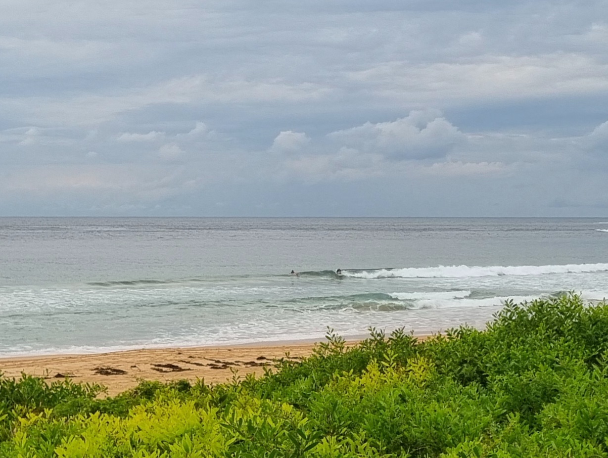
Swell situation is around about the same as yesterday – ie marginal at best. There seems to be more energy in the system though. The Sydney buoy was showing nearly two metres of 7 sec SSW wind swell out at sea. Apart from a solitary swimmer leaping off the rocks at the point, no one was visible in the water at Dee Why when I checked the first time around 0730. The grey skies notwithstanding, surface conditions were relatively clean. The wind should be S to SE soon and later they’re set to go around to the E to NE.
This morning’s swell modelling is full of joy for chartwatchers. There’s nothing much in prospect this morning, but there might possibly be a tiny uptick toward the waist high range this afternoon which could then persist and increase a little through Saturday. The long anticipated big east swell looks like arriving in our region sometime late Saturday to early Sunday.
Sunday looks to offer the best combo of wind and long period east swell, but Monday morning’s shaping up pretty nicely as well. If the more enthusiastic modelling is right, we could see up to 2x overhead set faces at magnet spots from Sunday through to Monday morning. By Tuesday it could be back to shoulder high for the morning sesh at exposed places. The rest of the week is currently looking like being surfable and then about Friday, the really long range predictions go nuts again… if they end up having anything to do with reality, from around Friday the 21st onward, we could be looking at a week of pumping east swell… ya gotta love a forecast like that!
Have yourself a great Thursday and get ready to take up surfing again. 🙂

Forecast issued at 4:10 am EDT on Thursday 13 March 2014.
Weather Situation
A high pressure ridge lies across the Tasman Sea. Early on Sunday a cold front is expected to bring southerly change to New South Wales south coast extending to the north coast coast Monday morning.
Forecast for Thursday until midnight
Winds
South to southeasterly 15 to 20 knots turning east to northeasterly10 to 15 knots in the afternoon.
Seas
Below 1 metre.
Swell
Easterly around 1 metre.
Weather
Isolated thunderstorms.
Friday 14 March
Winds
North to northeasterly about 10 knots increasing to 15 to 20 knots before dawn.
Seas
Below 1 metre, increasing to 1 to 1.5 metres during the afternoon.
Swell
Easterly around 1 metre, increasing to 1 to 1.5 metres , then decreasing to around 1 metre around midday.
Weather
The chance of thunderstorms in the morning and afternoon.
Saturday 15 March
Winds
Northeasterly 15 to 20 knots turning northerly during the morning.
Seas
1 to 2 metres.
Swell
Easterly around 1 metre, tending 1 to 1.5 metres during the morning.

