Hello Friends,
No forerunners yet, but TC Lusi’s kicking up some serious energy and the Bureau says it should hit up north late Saturday and fill in to our region for Sunday. So, running a day or so behind some of the modelling of the last week – but coming our way nonetheless.
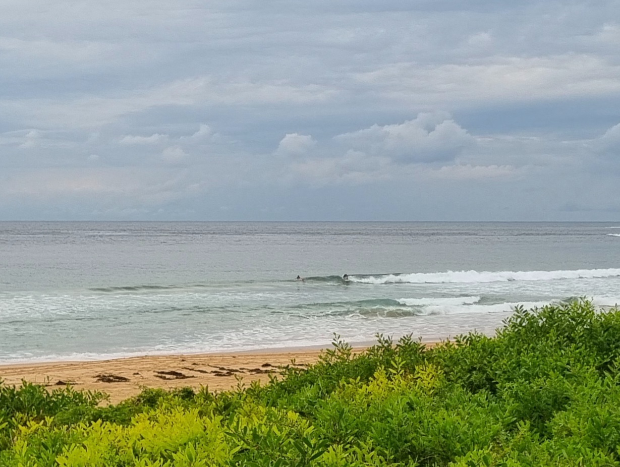
Friday morning however sees only a metre of 8 sec SE wind swell lapping in. That’s about what it was yesterday at this time and Dee Why is looking pretty similar as well, so, if you found something on Thursday, it should be broadly similar today. Expect inconsistent weak knee to waist high things best suited to your floatiest surf tool.
Looking forward to seeing how this swell develops and, if they bear any resemblance to reality, I’m intrigued by some of the latest long term projections… if they come to pass… ah well, on with the day!


Weather Situation
Tropical Cyclone Lusi is located to the southwest of Fiji and is moving southwards towards New Zealand. A large easterly swell will develop between TC Lusi and the high pressure ridge which is lying over the southern Tasman Sea. This swell is expected to affect northern parts of the coast late Saturday and then extend throughout the coast on Sunday. Early on Sunday a cold front is expected to bring southerly change to New South Wales south coast extending to the north coast coast Monday morning.
Forecast for Friday until midnight
Winds
Northeasterly 15 to 20 knots.
Seas
Around 1 metre, increasing to 1.5 metres during the afternoon.
Swell
Easterly 1 to 1.5 metres, decreasing to around 1 metre during the morning.
Weather
The chance of thunderstorms offshore in the morning and early afternoon.
Saturday 15 March
Winds
North to northeasterly 15 to 25 knots.
Seas
1.5 to 2 metres, increasing to 1.5 to 2 metres offshore during the afternoon.
Swell
Easterly around 1 metre, increasing to 1 to 1.5 metres during the early morning.
Weather
The chance of thunderstorms from the early afternoon.
Sunday 16 March
Winds
Northerly 20 to 30 knots decreasing to 10 to 15 knots during the day then turning west to northwesterly 15 to 20 knots during the evening.
Seas
1.5 to 2.5 metres, decreasing below 1.5 metres during the morning.
Swell
Easterly 1.5 metres, increasing to 1.5 to 2 metres.
Weather
The chance of thunderstorms.

