Hello Friends,
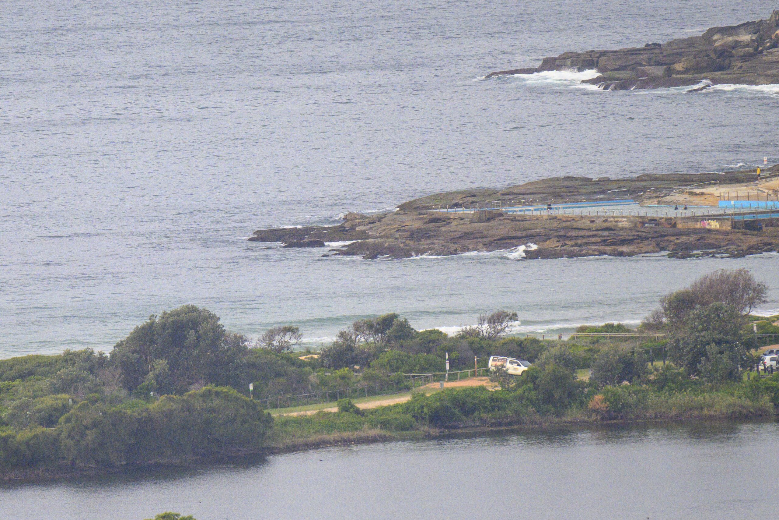
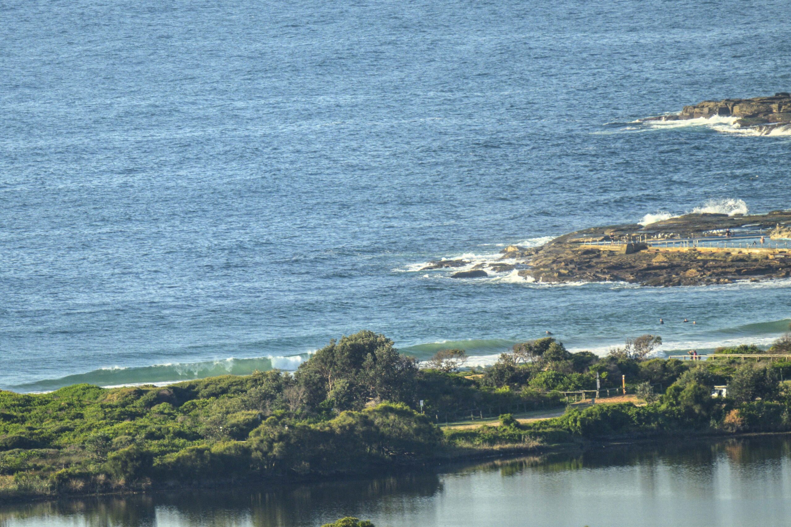
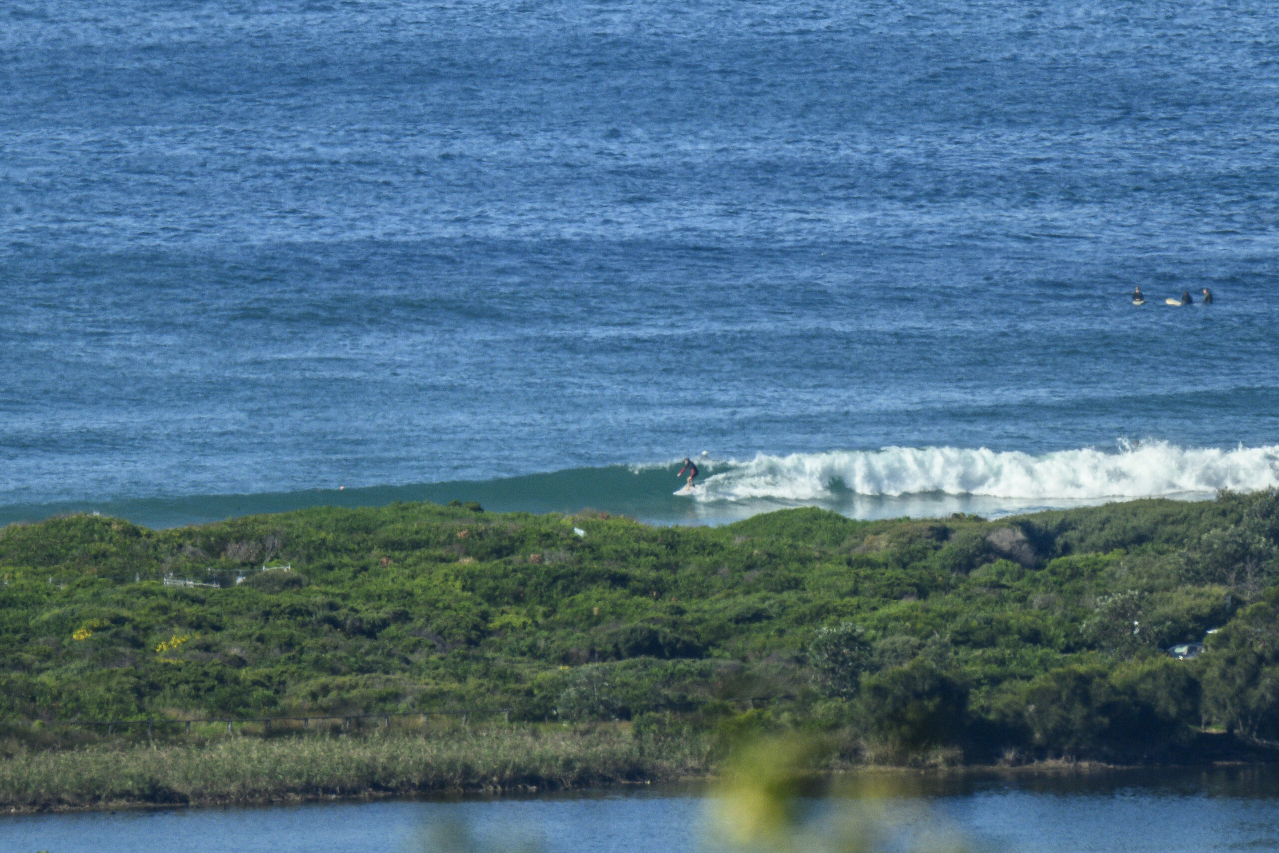
No sign of forerunners from the expected swell arrival. Some knee to waist high dribblers were scudding gently in at 0830. The banks still look marginal at best. For a sunny and mild Sunday morning, the small number of people in the water speaks volumes about the quality. You need to be keen!
The Bureau says we should start to see something from around midday. At that point the NEr could be up and getting into the 15-20 kt range, so Dee Why isn’t looking too hot a prospect. A 20-25 kt south change is expected after dark and it’s going to be hammering along at 20-30 kts tomorrow as the swell peaks sometime before lunchtime.
Tide was low at 0810 and will be high at around 1410, so maybe tomorrow morning there’ll be a little window of opportunity at protected south corners when, tide and swell will work.
Long term modelling is projecting a gradual decline to small to marginal late in the week.
Guess we’ll just need to be extra stoked!
Go well with your Sunday everyone.


Forecast issued at 4:50 am EDT on Sunday 23 March 2014.
Weather Situation
A high pressure system extends a ridge over northeast New South Wales while a weak trough lingers in the south. This trough will get pushed northwards today as a southerly change extends up the South Coast this afternoon before stalling and weakening on the Midnorth Coast on Monday. A strong high pressure system south of Bight will extend a ridge over the south into the new week following the southerly change. This high will move over the Tasman Sea by the later half of next week where it is expected to become the dominant weather feature.
Forecast for Sunday until midnight
Winds
South to southwesterly 10 to 15 knots becoming variable about 10 knots in the morning then becoming northeasterly 15 to 20 knots in the early afternoon. A southerly change of 20 to 25 knots is expected late this evening.
Seas
Around 1 metre.
Swell
Easterly 1.5 metres, increasing to 1.5 to 2 metres offshore around midday.
Weather
Isolated thunderstorms from early this afternoon, more frequent inshore.
Caution
Deceptively powerful surf conditions are expected to be hazardous for coastal activities such as crossing bars by boat and rock fishing.
Monday 24 March
Strong Wind Warning for Monday for Sydney Coastal Waters
Winds
Southerly 20 to 30 knots.
Seas
Below 1 metre, increasing to 1.5 to 2.5 metres during the morning.
Swell
Easterly 1.5 to 2 metres, decreasing to 1.5 metres during the afternoon.
Weather
Isolated thunderstorms offshore in the morning.
Caution
Deceptively powerful surf conditions are expected to be hazardous for coastal activities such as crossing bars by boat and rock fishing.
Tuesday 25 March
Winds
Southeasterly 15 to 20 knots turning northeasterly 10 to 15 knots during the morning.
Seas
1.5 to 2 metres, decreasing below 1 metre during the evening.
Swell
Easterly 1.5 metres.


