Hello Friends,
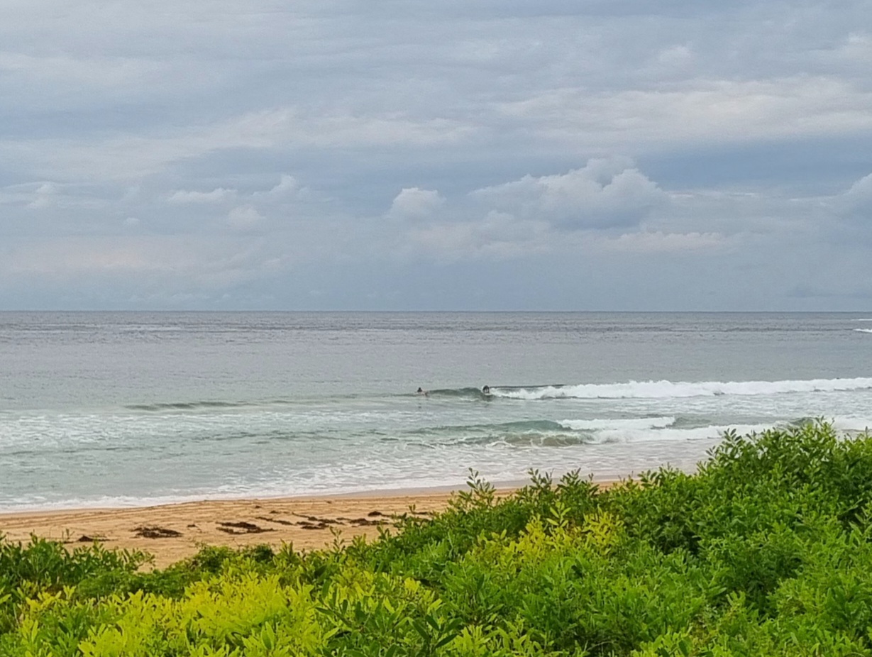
The numbers tell the story. At 0500 the Sydney MHL swell spectra chart was showing only a faint 5 second period NE windswell of less than a metre. So, if you can find something surfable, you’ll be doing very well. There weren’t any takers at Dee Why when I checked for the first time at around 0730. And from the shape of the forecasts, we’re in for not much change today.
We’re set to have a south change come through this afternoon. It’ll change the wind pattern to SE-SW overnight, but we should be back to northerly tomorrow arvo and then on Saturday another afternoon south change is lined up for us. The models aren’t unified, but right now it looks as though it should be a bit bigger over the coming weekend, but that wind is going to be an issue.
The Goat’s often along with his wisdom on a Thursday, so as always, I’ll be keen to see his call too.
Have a great Thursday everyone!


Forecast issued at 4:10 am EDT on Thursday 3 April 2014.
Weather Situation
A high pressure system centred near New Zealand extends a weak ridge over northeast New South Wales. A trough and associated cold front are approaching from the southwest. This system is expected to bring a southerly change to southern and central parts of the coast today, before stalling north of Sydney on Friday. There are indications that a low is likely to develop off the South Coast on Friday, deepening and moving eastwards during the weekend under the influence of a passing upper-level feature.
Forecast for Thursday until midnight
Winds
Northerly 10 to 15 knots turning northeasterly in the early afternoon ahead of a late southerly change 15 to 25 knots.
Seas
Below 1 metre, increasing to 1 to 1.5 metres offshore by early evening.
Swell
Easterly below 1 metre.
Weather
Isolated thunderstorms later this afternoon and evening, more frequent inshore.
Friday 4 April
Winds
Southeast to southwesterly 15 to 20 knots becoming variable about 10 knots early in the morning then becoming northwest to northeasterly 10 to 15 knots in the late afternoon. Winds reaching up to 20 knots offshore in the evening.
Seas
Below 1 metre, increasing to 1 to 1.5 metres offshore by early evening.
Swell
Easterly around 1 metre.
Saturday 5 April
Winds
Northerly 10 to 15 knots turning southerly 15 to 25 knots during the afternoon.
Seas
1 to 1.5 metres, increasing to 1 to 2 metres during the afternoon or evening.
Swell
Easterly 1 to 1.5 metres.
Weather
The chance of thunderstorms in the morning.

