Hello Friends,
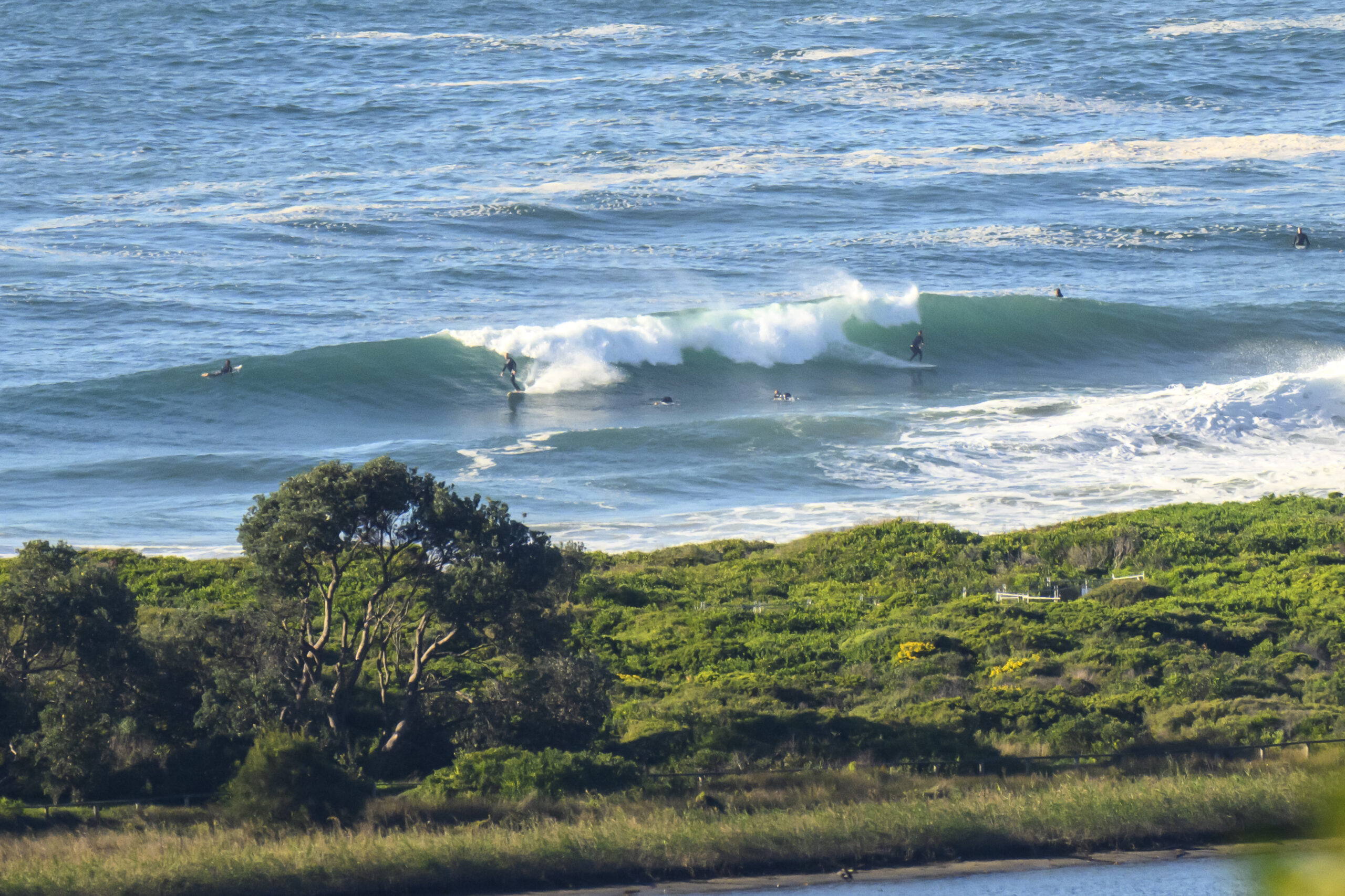
The relentless decline continued overnight and yesterday morning’s waist to chest plus sets has now transformed to knee to waist. Swell is pretty south and although it’s only a metre out at sea, the average period is a shade under 13 seconds. Next tide is a low at 0920 and that means the next high will be at 1420.
Swell outlook remains fairly uninteresting for the week ahead. Right now it looks as though we drop to pretty much absolute flatness across the next 48 hours. Then on Friday a south change briefly makes itself felt with potentially waist to chest high sets at south magnets – unfortunately the it looks as though we’ll have SE wind with it. There might be a little something for Saturday morning, particularly for the early, and then it looks as though things sputter out again swell-wise.
Have yourself a great Tuesday one and all and keep on smilin’!


Weather Situation
A high pressure ridge over the Tasman Sea is weakening and a cold front will bring weak southerly change to the south coast late on Tuesday. Another, stronger southerly change is expected to develop on the far south coast later on Thursday.
Forecast for Tuesday until midnight
Winds
Northwesterly 10 to 15 knots, reaching up to 20 knots offshore in the late morning.
Seas
Around 1 metre.
Swell
Southerly below 1 metre.
Wednesday 23 April
Winds
West to northwesterly 10 to 15 knots tending west to southwesterly in the morning then shifting northerly 15 to 20 knots in the early afternoon.
Seas
Around 1 metre, increasing to 1 to 1.5 metres offshore later in the evening.
Swell
East to northeasterly below 1 metre.
Thursday 24 April
Winds
North to northwesterly 10 to 15 knots shifting south to southeasterly during the day.
Seas
Around 1 metre.
Swell
Easterly below 1 metre.

