Hello Friends,
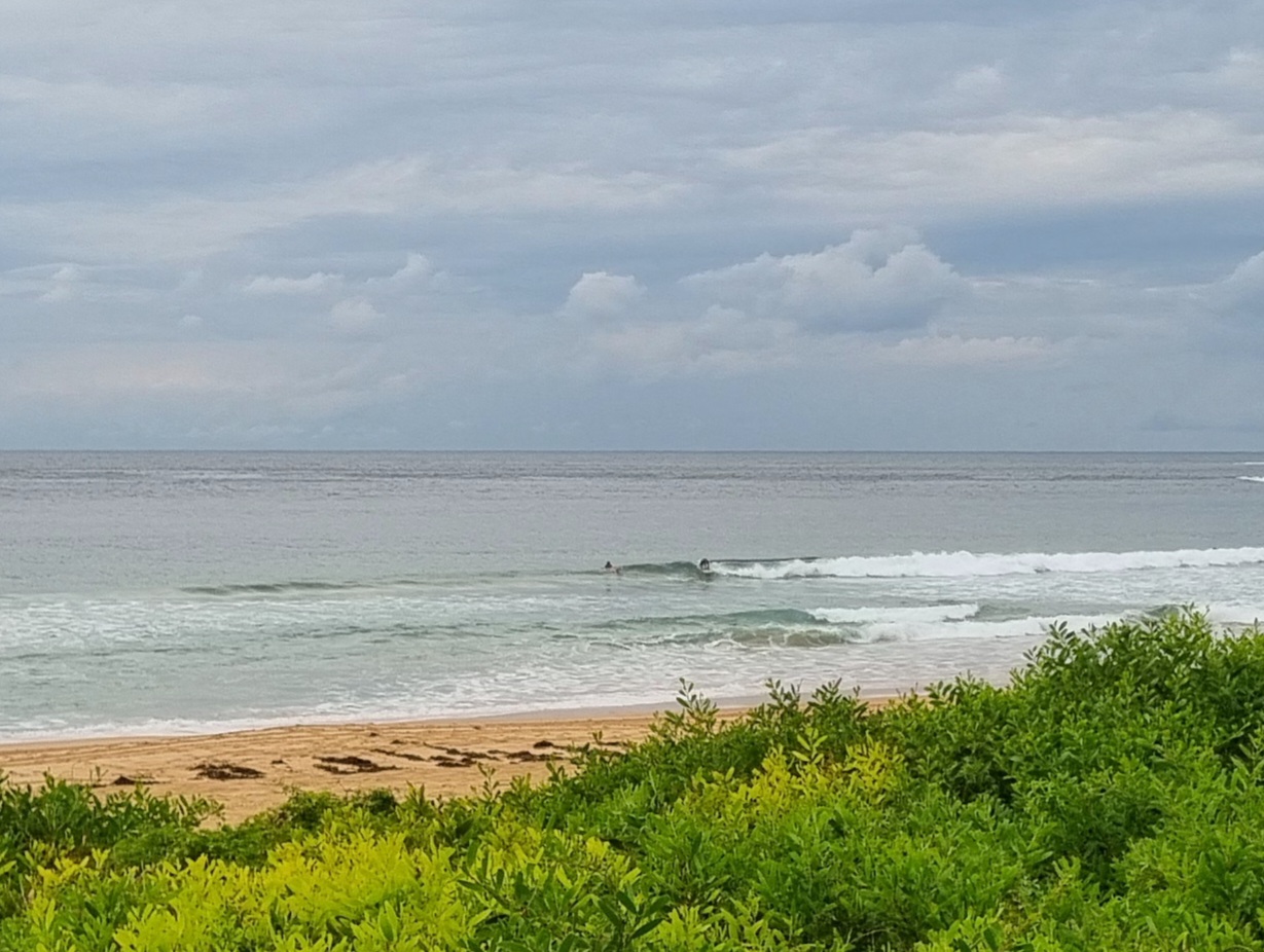
Dee Why looks like a lake shore this morning. A very calm lakeshore. Not even a rime of white around the rocks at the point. It looks like another beautiful, if unseasonably warm day coming up too.
No prospect of an improvement to conditions for today but the swell models are saying we could have some activity into the waist high range – or maybe better at south magnet spots on the biggest sets – around Wednesday. Unfortunately it looks as though it’ll coincide with lots of south wind too. Thereafter, it looks like another stretch of marginal to flat conditions until the weekend when we might possibly get another south pulse into the interesting range.
Have a great Wednesday and get up to some good where you can!
Tides: L @0500, H@1100

Weather Situation
A strong high pressure system over the Tasman Sea extends a ridge across New South Wales. This high will remain semi-stationary over the next few days. A southerly change is expected to develop along New South Wales south coast with a stronger cold front on Tuesday as the high in the Tasman Sea weakens.
Forecast for Sunday until midnight
Winds
Northwesterly 10 to 15 knots.
Seas
Below 1 metre.
Swell
Northeasterly below 1 metre.
Monday 19 May
Winds
Northwesterly 10 to 15 knots.
Seas
Around 1 metre.
Swell
Northeasterly below 1 metre.
Tuesday 20 May
Winds
Northwesterly 10 to 15 knots becoming westerly about 10 knots during the evening.
Seas
Below 1 metre.
Swell
Northeasterly below 1 metre.
Weather
Isolated thunderstorms offshore in the afternoon and evening.

