Hello Friends,
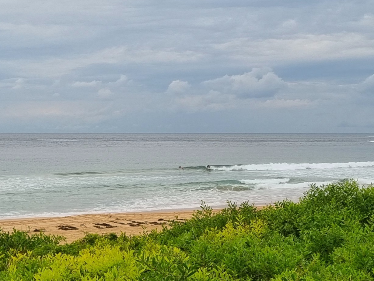
On again off again light showers and cool temps seem to have dissuaded the crowds this morning along the beaches between Manly and Dee Why. Of course knee to waist high conditions don’t help much either. Swell, such as it is, is out of the east mainly at about a metre with an average period of 7.5 seconds (wind swell, really). Next tide is a high at 1120. Wind was light early, but as the skies clear later, it should go westerly.
Tomorrow promises to cog down again to really marginal, if not flat levels.
Friday will see the arrival of our next pulse, but there’ll be very strong W-SW winds as it fills in after lunch. The Bureau says 25-40 kts, with a south swell ramping into the 2-3 metre range in the afternoon.
The new pulse looks like peaking early Saturday according to the modelling. Some of the interpretations are saying 3-5 metres at 12 seconds from the south – but with those strong SW winds.
The power looks like sticking around through to Monday afternoon before the microness returns.
Have yourself a great Wednesday everybody!


Weather Situation
A high pressure system over the Tasman Sea is slowly moving east, while a broad trough of low pressure in crossing New South Wales. This trough will bring a westerly change to the coast today, before continuing towards New Zealand. Following this, a stronger cold front from the Southern Ocean is expected to generate vigorous southwesterly winds as it sweeps over the region during Friday.
Forecast for Wednesday until midnight
Strong Wind Warning for Wednesday for Sydney Coast
- Winds
- Variable below 10 knots inshore at first, otherwise northerly 15 to 20 knots turning westerly in the middle of the day. Winds reaching 30 knots offshore in the evening.
- Seas
- 1 to 2 metres, increasing to 1.5 to 2.5 metres by evening.
- Swell
- East to southeasterly around 1 metre.
- Weather
- The chance of thunderstorms offshore this morning and afternoon.
Thursday 17 July
Strong Wind Warning for Thursday for Sydney Coast
- Winds
- Westerly 15 to 25 knots, reaching 30 knots offshore in the evening.
- Seas
- 1 to 2 metres, increasing to 2 to 3 metres by evening.
- Swell
- East to southeasterly below 1 metre.
Friday 18 July
- Winds
- Westerly 20 to 30 knots tending southwesterly 25 to 40 knots during the morning.
- Seas
- 2 to 3 metres, increasing to 3 to 5 metres during the afternoon.
- Swell
- Southerly 1 to 1.5 metres, increasing to 2 to 3 metres during the afternoon.

