Hello Friends,
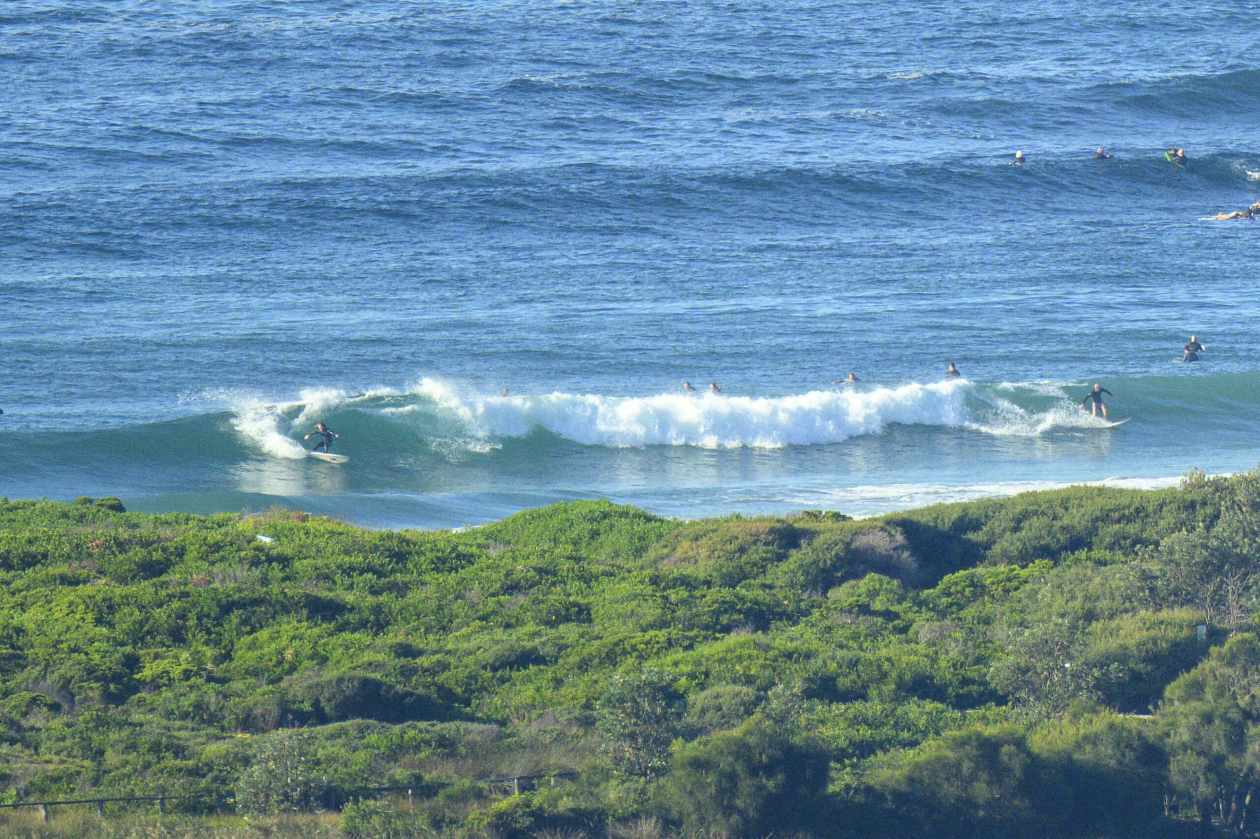
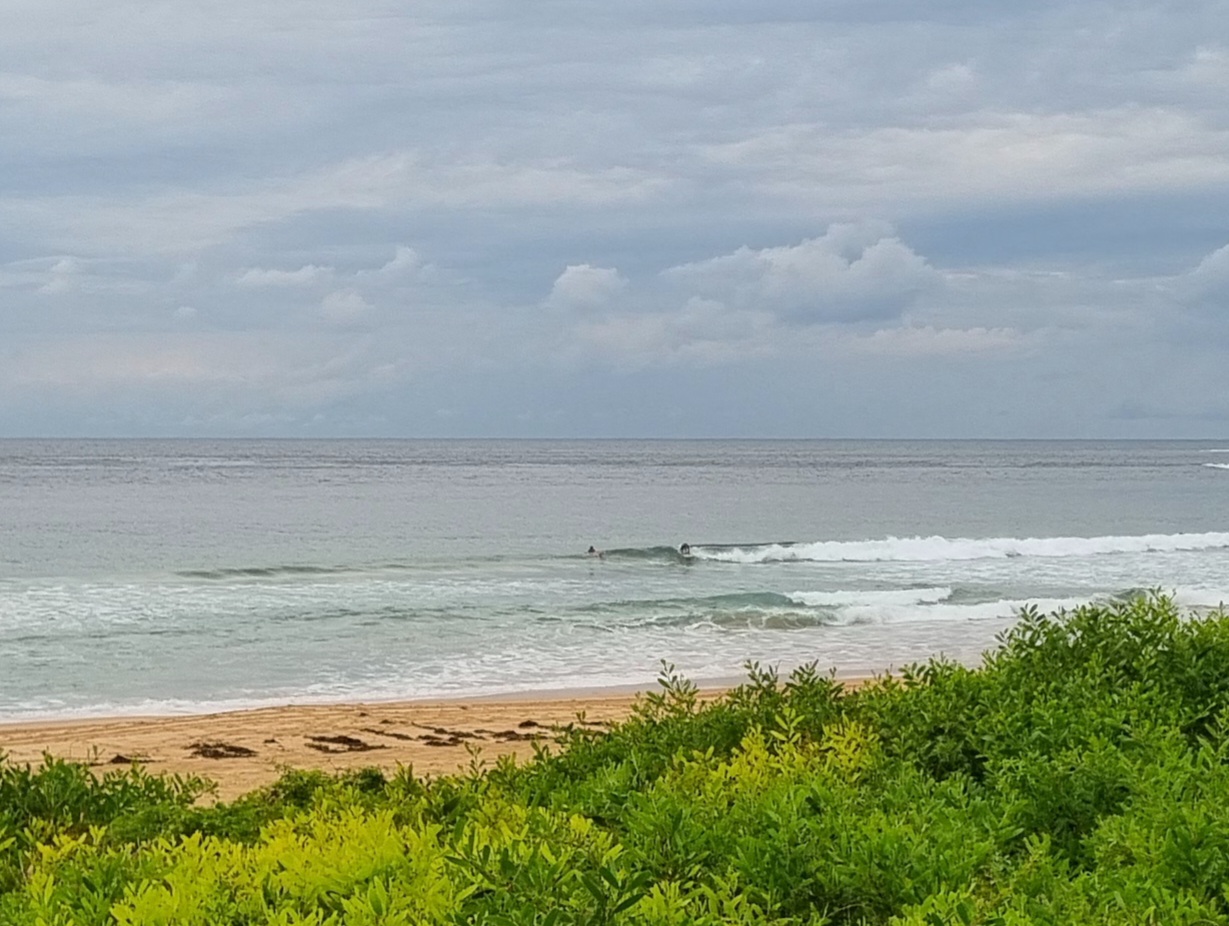
Well, you can forget Dee Why for now. Close to 5.5 metres of SSE swell with an average period of around 13 seconds combined with 15-20 kts of westerly and sub-10 degree air temps as of 0700. Set wave faces would be comfortably into the triple overhead range so the point was mostly maxed out – although like lots of spots this morning, relatively clean.
Wind is expected to swing south and be up to 40 kts by late morning. That’s going to cut the surf options back pretty severely. Assuming you’re very fit and experienced, there could be a few options around.
Really not a day for beginners or cautious intermediates. Places such as Collaroy and south Steyne could be approachable but I don’t think Dee Why will really be much use until the swell drops later tomorrow.
Swell should be solid for the next 24 hours, then it’ll be dropping back into the more approachable range for Monday before fading away to nothing much by mid week – or so say the models.
I’ll get out and about with a camera today and tomorrow, so expect a few more pictures in due course!
Next tide is the low at 0745 with the high at 1415


Weather Situation
A complex low pressure system over the central Tasman Sea is very slowly moving east as a strong high pressure system moves over southeastern Australia from the west extending a ridge to the Coral Sea. As the result vigorous south to southwesterly winds along New South Wales coast will gradually ease during today and Sunday. The high is expected to move over the southwestern Tasman Sea on Monday and to continue to moving slowly east over the next few days maintaining the ridge to the north coast..
Forecast for Saturday until midnight
Gale Warning for Saturday for Sydney Coast
- Winds
- Southerly 25 to 30 knots, reaching up to 40 knots in the morning.
- Seas
- 3 to 4 metres, decreasing to 3 metres later in the evening.
- Swell
- Southerly 5 to 6 metres.
- Weather
- Isolated thunderstorms in the morning and afternoon.
- Caution
- Large and powerful surf conditions are expected to be hazardous for coastal activities such as crossing bars by boat and rock fishing.
Sunday 20 July
Strong Wind Warning for Sunday for Sydney Coast
- Winds
- Southerly 15 to 25 knots, reaching up to 30 knots in the morning. Winds decreasing to 10 to 15 knots in the evening.
- Seas
- 2.5 to 3 metres, decreasing to 2 metres during the morning, then decreasing to 1.5 metres by early evening.
- Swell
- Southerly 3 to 5 metres, decreasing to 2.5 to 3 metres around midday.
Monday 21 July
- Winds
- Southerly 10 to 15 knots becoming variable below 10 knots during the morning.
- Seas
- Below 1 metre.
- Swell
- South to southeasterly 1.5 to 2.5 metres, decreasing to 1.5 metres during the evening.


