Hello Friends,
Midday update:
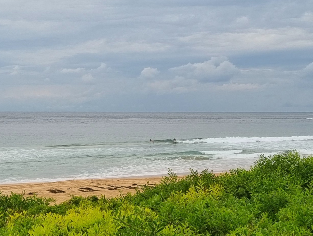
Some nice waves to be had this morning at Manly, Curly and Dee Why (see pic below). I stopped at the latter to grab a snap or two and ended up sticking around for 45 minutes or so from 0900-0945. The 340 odd pics are on their way into my galleries, so if you were in the water then, you might like to check ’em out later this afternoon…
Wind has come up a touch now, but there are still shoulder plus sets at the point and along the beach at Dee Why under sunny skies. And you’ll find pretty much the same at everywhere else that likes this swell combo…

(From 0800 this morning)
Well there’s a nice turn up for the books. The swell models had mostly been projecting small to marginal conditions for this morning, but instead we have chest to head plus sets at the point and along the beach at Dee Why. Clean looking too and not many in the water under partly cloudy skies.
Looking at the 0600 spectral data from the MHL Sydney buoy reveals that we have a mix of 16s period SSE and smaller 10s period ESE swells. That’s a pretty good combo and I’d expect to see similar conditions across many of our beaches this morning. Wind is predicted to be s to se but less than 10 kts today.
Tide is dropping to low at 1030 and the high will be at 1710ish.
The Bureau and the models say that the swell will fade today and by tomorrow we could be into marginal sub-waist high territory at SE magnet spots. Beyond that it’s shaping up to be very small on the east coast for a good week or more.
Get out there if you can and have yourself a top old day!


Weather Situation
A high pressure system over the southwestern Tasman Sea will direct light winds over southern waters and light to moderate south to southeast winds over northern waters until late Wednesday. On late Wednesday a front will enter the west of the state, with the wind turning moderate to fresh northerly throughout NSW waters on Thursday and then northwesterly on Friday as the front moves into the Tasman Sea. West to southwest winds expected by late Saturday as a low develops in the southern Tasman Sea.
Forecast for Tuesday until midnight
- Winds
- South to southeasterly below 10 knots.
- Seas
- Below 1 metre.
- Swell
- South to southeast 1.5 metres, decreasing to around 1 metre by early evening.
Wednesday 23 July
- Winds
- South to southwesterly below 10 knots becoming east to northeasterly in the early afternoon.
- Seas
- Below 0.5 metres.
- Swell
- Southerly around 1 metre.
Thursday 24 July
- Winds
- North to northeasterly 10 to 15 knots.
- Seas
- Around 1 metre.
- Swell
- Southerly below 1 metre.

