Hello Friends,
This morning sees swell coming from the east at about 1.3 metres at 7.5 seconds. Wind was light and offshore as of 0800. Tide was high at 0730 and will be low at 1310.
Skies were more blue than not at observation time, but there were a few showers showing offshore on the radar. And the Bureau says there could be the odd rainy episode later. Wind is set to go E to SE later, so the early glassy conditions aren’t going to last.
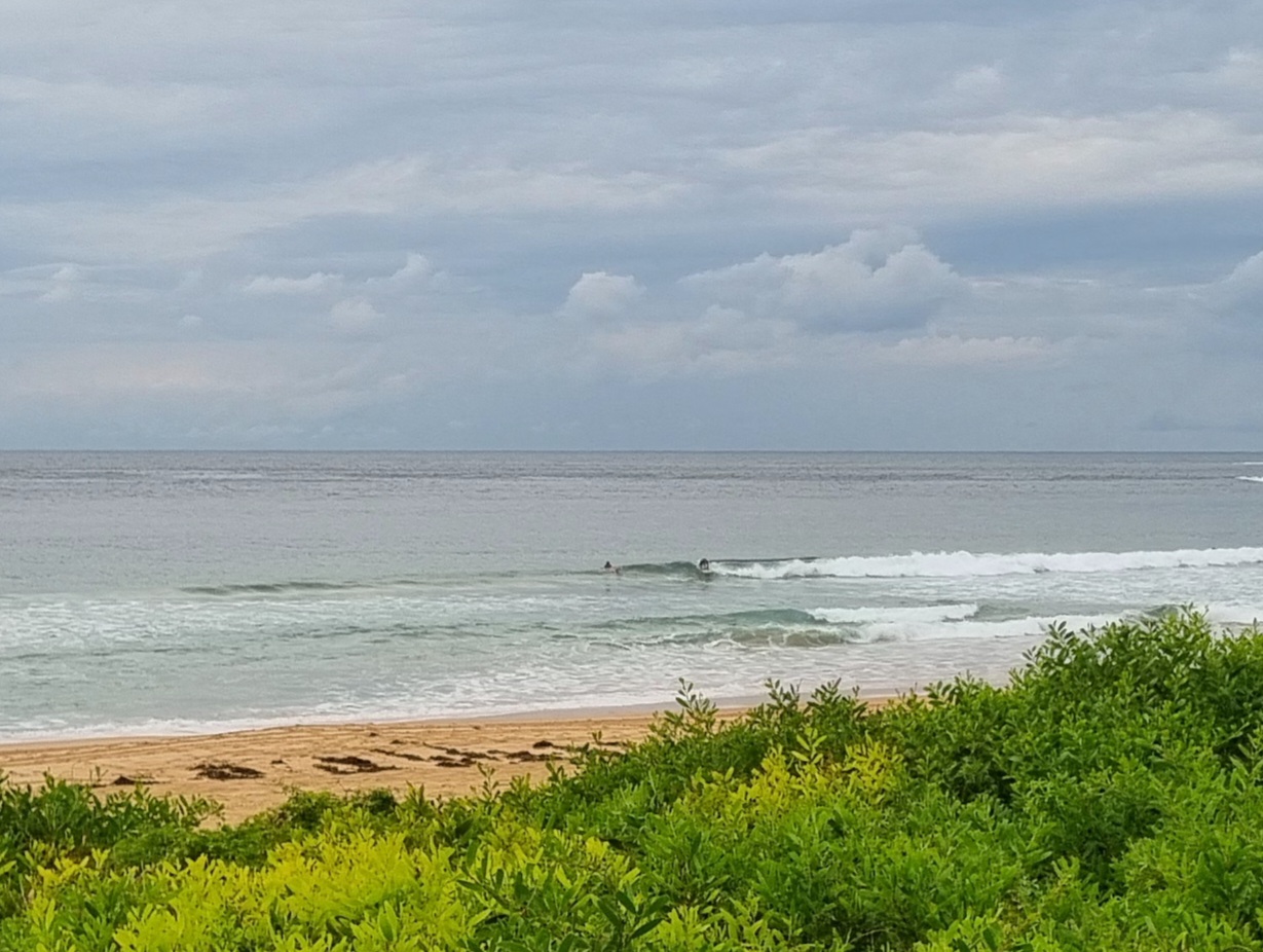
At Dee Why the beach was producing way more options than the point. Size was in the waist to chest range on the bigger ones at the beach and around waist for the point.
Outlook is for swell energy to steadily increase toward midweek as an east coast low intensifies off the north coast and as of today, the models are pointing to a peak at the upper end of the 4-5 metre range late Wednesday-early Thursday. Problem is the models are also showing unrelenting and strong SE wind from Monday night through Thursday. They’re expected to still be going hard Friday morning, but the direction is predicted to be more SW. And then the BoM’s current modelling shows the SW roaring into Saturday. Maybe next Sunday it’ll let up…


Weather Situation
A strong high pressure system remains almost stationary over the southern Tasman Sea, while a low pressure trough lies off the New South Wales and southern Queensland coasts. A low developing within the coastal trough is expected to deepen at the start of the new week and may remain slow-moving for several days, although it’s exact track is currently uncertain. This synoptic pattern has the potential to generate windy conditions and large swells, particularly along the northern half of the New South Wales coast, during the coming week.
Forecast for Sunday until midnight
- Winds
- East to southeasterly about 10 knots, reaching up to 20 knots offshore in the late evening.
- Seas
- Below 1 metre, increasing to 1 to 1.5 metres offshore by early evening.
- Swell
- Easterly 1.5 metres, tending northeasterly 1.5 metres later in the evening.
Monday 25 August
- Winds
- Easterly 10 to 15 knots.
- Seas
- Below 1 metre, increasing to 1 to 1.5 metres offshore later in the evening.
- Swell
- Easterly 1.5 metres, increasing to 1.5 to 2 metres during the morning.
- Weather
- The chance of thunderstorms offshore in the morning and afternoon.
Tuesday 26 August
- Winds
- Easterly 15 to 20 knots turning southeasterly 15 to 25 knots during the morning.
- Seas
- 1 to 1.5 metres, increasing to 1.5 to 2.5 metres during the morning.
- Swell
- Easterly 2 metres.
- Weather
- The chance of thunderstorms.

