Hello Friends,
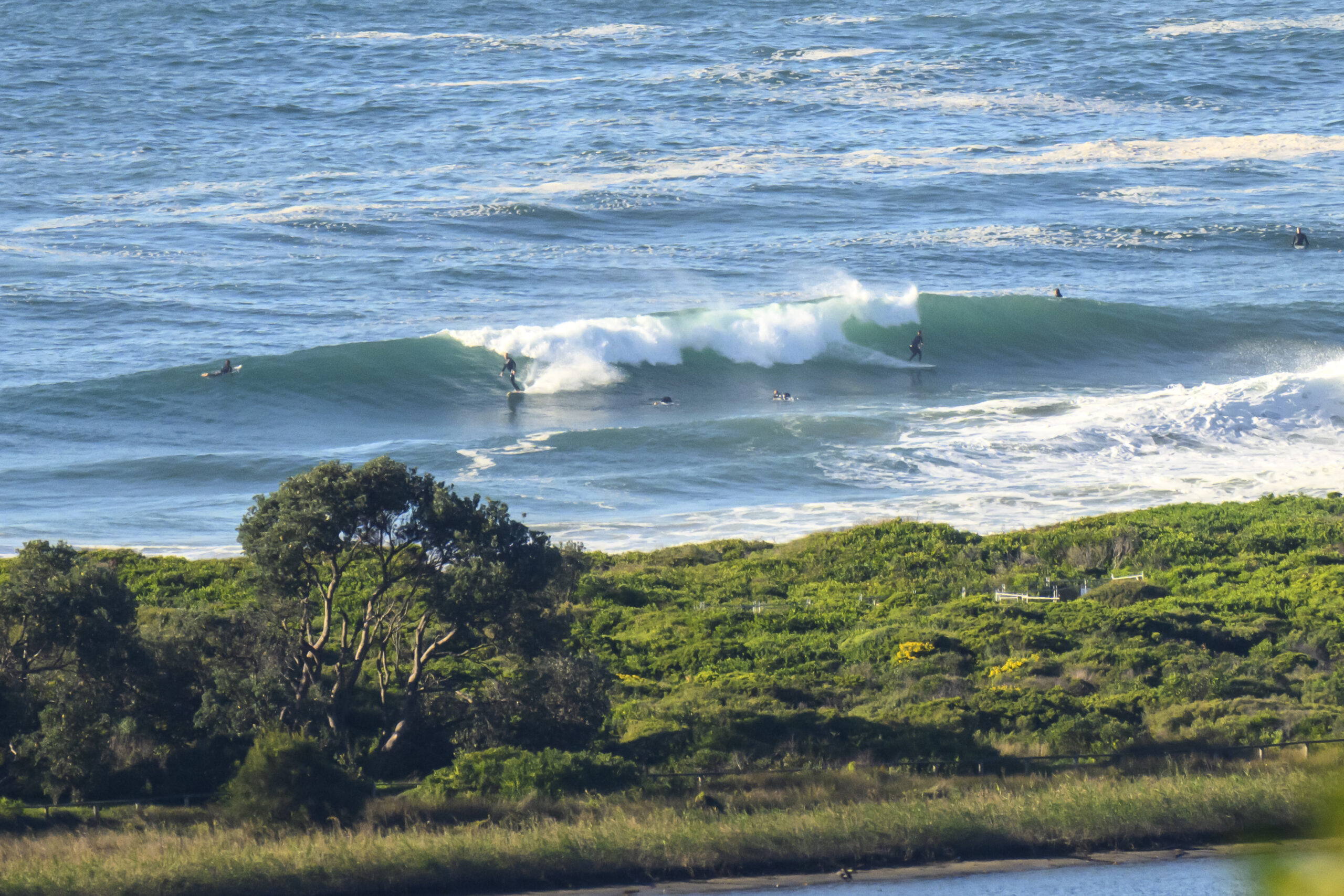
Sunny start to Monday with light offshore breezes at 0700 and about a metre of 7-sec east wind swell delivering waist to chest high wave faces at Dee Why.
The Bureau says that it’ll turn onshore by the middle of the day. Tide is high at 0800 and back to low at 1350.
The anticipated east coast low looks like it might be forming up off southern Queensland. And the MHL Coffs Buoy is showing 3 metres of 10 second east energy – and light SW wind too. Could be pretty fun up that way. More to the point, it should also mean that we see our energy levels going up through the day.
From tomorrow the swell should be significantly bigger from the east. Unfortunately, as we’ve been hearing for days now, the wind will be coming strongly from the SE. By Thursday the low is projected to be a complex system sitting pretty much right on top of Sydney and potentially slinging 4-5 metre east swell at us – along with very strong S-SSW wind.
Wind looks like smashing surf options until Friday at the earliest.
Should be an interesting few days.
Have yourself a great Monday everyone and keep on smilin’!


Weather Situation
A strong high pressure system remains almost stationary over the southern Tasman Sea, while a low pressure trough lies off the New South Wales and southern Queensland coasts. A low developing within the coastal trough is expected to deepen early in the new week and may remain slow-moving for several days, with multiple centres likely to form. Although the exact evolution of this system is currently uncertain, it is forecast to generate windy conditions and large swells, particularly along the northern half of the coast.
Forecast for Monday until midnight
- Winds
- Easterly about 10 knots increasing to 10 to 15 knots in the middle of the day.
- Seas
- Below 1 metre, increasing to 1 to 1.5 metres offshore later in the evening.
- Swell
- Easterly 1.5 metres.
- Weather
- The chance of thunderstorms offshore until this evening.
Tuesday 26 August
Strong Wind Warning for Tuesday for Sydney Coast
- Winds
- Easterly 10 to 15 knots turning southeasterly 15 to 25 knots before dawn. Winds reaching up to 30 knots during the afternoon and evening.
- Seas
- 1 to 1.5 metres, increasing to 1 to 2 metres during the morning, then increasing to 2 to 3 metres around midday.
- Swell
- Easterly 1.5 metres, increasing to 1.5 to 2.5 metres during the morning.
- Weather
- The chance of thunderstorms offshore.
- Caution
- Large and powerful surf conditions are expected to be hazardous for coastal activities such as crossing bars by boat and rock fishing.
Wednesday 27 August
- Winds
- South to southeasterly 20 to 30 knots.
- Seas
- 3 metres.
- Swell
- Easterly 2.5 to 3.5 metres.

