Hello Friends,
Morning update for ya…
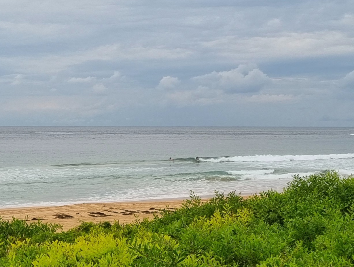
Had to be up in Avalon this morning, so it gave me a good chance to see what was happening along the beaches. And the story is the same as at Dee Why – nothin’ much.
No one was in the water to chase waves at Avalon. Great morning to be getting a core workout on the SUP though. It was the same story at Newport, Mona Vale, Warriewood and Northy. Although there were a few folks catching knee high shories at the most famous of those spots.
Here’s a snap to add to the collection for today…

I wrote at 0715:
Wow. Did I get yesterday’s pulse wrong or what? Sheesh. Sorry about that but Huey slipped some lead into the gloves while I wasn’t looking. At dusk last night the swell was showing as about 1.5-2.5m metres from 66 degrees at 10 seconds apart and places like south Narrabeen and Mona Vale were head high plus on sets. Plus it was light offshore and barrelling. (I shot a few pics, so will post those soon) South Narra shots here and Mona Vale shots here.
Unfortunately this morning sees… nothin at Dee Why.
The MHL buoy is showing 1-1.5 metres of ENE swell at 8.5 seconds apart. So, there might be a few knee to waist high bomb sets at spots that saw the serious energy yesterday afternoon. But tide is high right now, so even the best spots are going to be fat for the morning sesh (tide’s high at 0940). Should be a nice day though!
The Goat sent in his forecast early this week, and as usual it looks to be spot on. Just jump down the page to read it.
Keep on smilin’ everybody!

Weather Situation
A cold front will reach the south coast Thursday afternoon then extend north Thursday night and Friday morning and gradually weaken. A high pressure system is expected to move across NSW during Friday then into the Tasman Sea on Saturday with winds tending northeasterly. Another relatively weak front is forecast to cross southern and central parts of the coast Sunday.
Forecast for Thursday until midnight
- Winds
- West to southwesterly 10 to 15 knots becoming variable about 10 knots in the middle of the day then becoming southwesterly 10 to 15 knots in the late evening.
- Seas
- 1 to 1.5 metres, decreasing below 1 metre during the morning.
- Swell
- Southerly around 1 metre.
Friday 12 September
- Winds
- Southerly 15 to 20 knots, turning southeasterly below 10 knots during the day.
- Seas
- 1 to 2 metres, decreasing to 1 metre during the morning.
- Swell
- Southerly 1 to 1.5 metres, decreasing to around 1 metre during the afternoon.
Saturday 13 September
- Winds
- Variable below 10 knots becoming northeasterly 10 to 15 knots during the afternoon then tending northerly during the evening.
- Seas
- Below 1 metre, increasing to around 1 metre during the evening.
- Swell
- Southerly below 1 metre.

