Hello Friends,
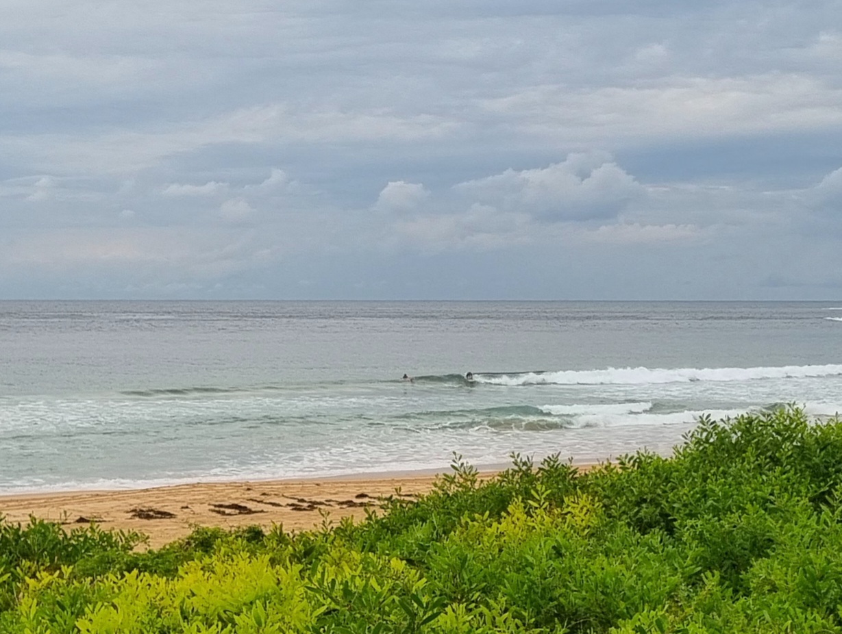
The SSE swell’s picked up overnight and as of 0800 was averaging 2.5 metres at close to 13 seconds apart. It looked a bit lumpy at 0830, but the healthy crowd in the water at the point and along the beach at Dee Why were scoring fun shoulder to head high waves with the odd head plus bomb making things interesting.
Wind was WSW to SSW at around 10 kts as the day got started. Tide was high at 0620 and the Bureau says the wind should go south to SE but not to pick up much more and then it should fade toward dusk.
Swell should hold through the day and into tomorrow morning and with luck the southerly will be around the same strength as it was today. There might be a few little things on Tuesday morning, but from the afternoon through to Thursday night is currently looking marginal at best. It’s kinda far away, but some of the models are showing another little south pulse for Friday-Saturday.
I’m off to join fellow Sydneysiders at Bicentennial Park, Glebe a noon today as we participate with others in 130 countries around the world to let our leaders know that we want serious action at next week’s UN Climate Change Summit in New York. Foreign Minister Bishop will be representing Australia (Mr Abbott will be in NY a day later, but will not attend). Australians will be turning out for hundreds of local events around the country and in all the capital cities. Many politicians and industrialists would like us all to be quiet and to go away. But we won’t because when it comes to climate change, there is no “away”.


Weather Situation
A complex low pressure system lies near New Zealand, while a large, strong high is centred near southwestern Victoria. This high will be the dominant feature in our region over the next few days as it drifts slowly east, maintaining a southwest to southeasterly wind flow along the New South Wales coast today, gradually tending east to northeasterly Monday/Tuesday. Northeast winds are expected to freshen along most of the coast during Wednesday as the next trough approaches from the west.
Forecast for Sunday until midnight
- Winds
- South to southeasterly 10 to 15 knots decreasing to about 10 knots in the late afternoon/evening.
- Seas
- Around 1 metre.
- Swell
- Southerly 2 to 2.5 metres.
- Caution
- Deceptively powerful surf conditions are expected to be hazardous for coastal activities such as crossing bars by boat and rock fishing.
Monday 22 September
- Winds
- Southerly 10 to 15 knots becoming variable about 10 knots in the morning.
- Seas
- Below 1 metre.
- Swell
- Southerly 1.5 to 2.5 metres, decreasing to 1 to 1.5 metres by early evening.
Tuesday 23 September
- Winds
- Variable below 10 knots becoming northeasterly 10 to 15 knots during the day.
- Seas
- Around 1 metre.
- Swell
- Southerly around 1 metre.

