Hello Friends,
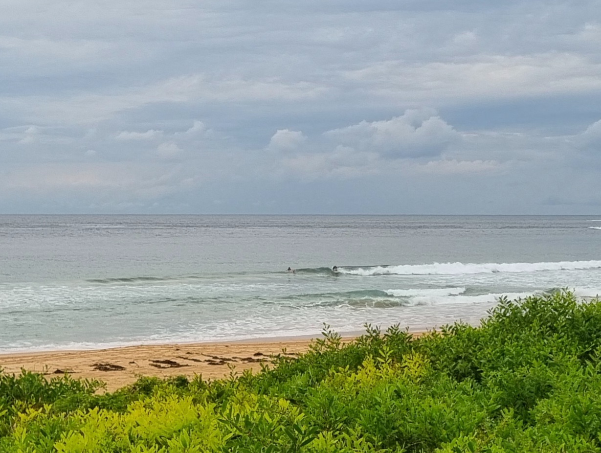
Roll out your biggest and floaty-est surf tool this morning because you’re gonna need it for the micro conditions. Dee Why was showing only the barest hint of activity thanks to the feeble and tiny 6-sec ENE wind swell. Beach combing looks a better option really as the wavelets are barely knee high if that, and the next tide is a high at 1100. I don’t see anything in the buoys or the forecast data to give hope for an improvement either.
Outlook for tomorrow and Monday remain uninteresting for the most part. What there is promises to be tiny and marginal at best. You might get a weak little thing at a magnet spot before the tide whacks it and the NE’r starts to do its thing.
Overnight, the forecast models started to get interesting looking from Wednesday onward. Not in a good way at first because they’re calling for strong to gale force southerlies firing up overnight Monday and sticking around at those levels for the next couple of days. But come Thursday the Bureau’s modelling shows the wind going more SSW to WSW while at the same time the southerly swell whipped up should still be chugging along into the shoulder plus range for the early. If this is any indication, Spring looks like maybe being a bit more active in a good way than in recent years.
Have yourself a great Saturday!


Weather Situation
A high pressure system centred over the Tasman Sea extends a ridge towards northeast New South Wales, resulting in generally northerly winds along the coast. A trough will bring a short-lived southerly change to southern parts later today before the ridge reasserts itself on Sunday. Winds should increase in most areas during Sunday as another trough and developing low approach from the west. This system is likely to deliver a more vigorous southerly change to southern and central parts of the coast during Monday, with further intensification possible on Tuesday as the low deepens offshore.
Forecast for Saturday until midnight
- Winds
- North to northwesterly 5 to 10 knots inshore at first, otherwise north to northeasterly 10 to 15 knots reaching 20 knots offshore.
- Seas
- 1 to 1.5 metres.
- Swell
- Southerly 1 to 1.5 metres.
- Weather
- Mostly sunny.
Sunday 12 October
Strong Wind Warning for Sunday for Sydney Coast
- Winds
- North to northeasterly 15 to 25 knots, reaching 30 knots in the evening.
- Seas
- 1 to 2 metres, increasing to 2 to 3 metres around midday.
- Swell
- South to southeasterly below 1 metre.
- Weather
- Sunny.
Monday 13 October
- Winds
- North to northeasterly 20 to 30 knots shifting south to southwesterly 25 to 30 knots during the evening.
- Seas
- 2 to 3 metres.
- Swell
- Northeast to southeasterly 1 to 1.5 metres, tending east to northeasterly 1 to 2 metres during the morning.
- Weather
- Partly cloudy. 80% chance of showers. The chance of a thunderstorm in the evening.

