
Hello Friends,
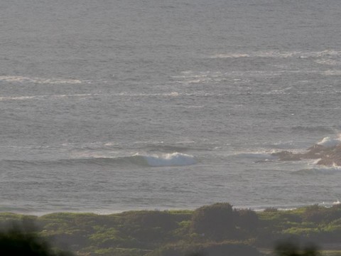
Faint onshore breeze at Dee Why as of 0730. It’s supposed to be 10-15 east later and offshore the ocean already looks kinda choppy. Swell was supposed to have perked overnight, but instead of the forecast two metres, we’re looking at more like 1.6 from the NE as the day gets going. Period’s dropped a touch and was just above the 9-second mark as of 0500.
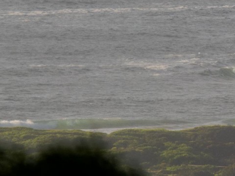
Although there was the occasional little line at the point, it hadn’t attracted any takers, so I’d say they’re too few and far between – and maginal size. The beachy was equally unpopulated when I checked for the first time. It looked really small and seemed to be all shutdowns. Maybe there’s something catchable up between No Man’s and the lugga. Tide’s actually okay having just come off the low as it swings up to the high at 1150.
If you head to one of the magnet spots, there should be waist plus sets to be had. The problem will be that as the wind gets going, the biggest places will really start to suffer. So, as usual, the earlier you hit it, the better.
This morning’s modelling by the Bureau shows the swell heights coming up as the day goes along. They’re projecting 2 metres by midday and then expecting it to last through Monday before dropping back by 0.5m Tuesday. Unfortunately, we’ll still have the stupid easterly wind Monday, so not shaping to be nearly as interesting as the models were predicting mid-last week.
Outlook for the remainder of the week is for small to marginal Wednesday, then perking back up a touch for Thursday to Saturday. Winds though generally look to be onshore right across the period.
Have a cruisy Sunday one and all and keep on smilin’!
Weather Situation
A slow-moving high pressure system near New Zealand extends a ridge over southern New South Wales and is directing northeasterly winds along the New South Wales south and central coasts. A low pressure system (Ex- Tropical Cyclone Marcia), located off the southeast Queensland coast, is moving southeast. The low is expected to move slowly east on Sunday. Little change is expected in the synoptic pattern for a few days.
Forecast for Sunday until midnight
Winds
Easterly 10 to 15 knots, reaching up to 20 knots offshore in the evening.
Seas
Around 1 metre, increasing to 1 to 1.5 metres offshore.
Swell
Easterly 2 metres.
Weather
Partly cloudy. 50% chance of showers.
Monday 23 February
Winds
Easterly 10 to 15 knots, reaching up to 20 knots offshore early in the morning. Winds becoming northeasterly about 10 knots in the late evening.
Seas
1 to 1.5 metres, decreasing below 1 metre during the morning.
Swell
East to northeasterly 2 metres.
Weather
Partly cloudy. 70% chance of showers.
Tuesday 24 February
Winds
East to northeasterly about 10 knots.
Seas
Below 1 metre.
Swell
Northeasterly 2 metres, decreasing to 1.5 metres during the afternoon.
Weather
Partly cloudy. 30% chance of a shower.

