
Hello Friends,
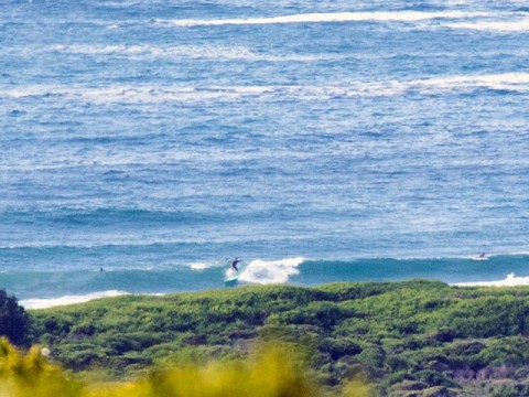
Yesterday’s change left us with a few glassy bumps along the beach and at the point. Nothing too dramatic, maybe knee to waist or a touch better on the biggest ones. By 0900 the southerly was back and the point had been abandoned as surfers clustered in the waist plus beach break out in front of the surf club.
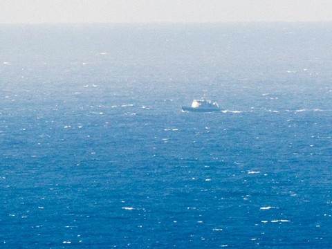
The wind was still SSW inshore at 0920 but the Bureau says to expect it to go SE later today. MHL seems to be having issues with its buoy fleet again, so we don’t have observations to go by this morning. The Bureau reckons it’s east 1-1.5m which, from the look of things seems plausible. They don’t estimate period, but I’d say it looked to be 8-9 seconds. So, not real powerful.
The swell forecast models aren’t looking too interesting yet. The consensus seems to be we can expect energy at roughly these levels through the coming week with maybe a slight upward tick for Thursday pm- Friday am.
One of the long range models is showing some interesting developments in the southern ocean for this coming weekend. There seems to be some potential for some long period south swell from it, but unfortunately the prediction is that it will be very small so, at this stage, not getting too excited.
Have yourself a great Monday and catch ya again tomorrow!
Tides: H @0710, L @1345
Weather Situation
A high over Bass Strait extends a ridge along the New South Wales coast in the wake of a cold front and associated southerly change, which are currently near the Queensland border. This ridge will remain the dominant feature for coastal areas during the next day or two as the high drifts slowly east, although a feeble trough may briefly affect the southern coast later on Tuesday. On Wednesday the high is expected to weaken as it nears New Zealand, allowing the next cold front to sweep across New South Wales during Thursday, bringing a vigorous southerly change to coastal areas.
Forecast for Monday until midnight
- Winds
- Southerly 15 to 20 knots turning east to southeasterly 10 to 15 knots in the afternoon.
- Seas
- 1 to 2 metres, decreasing below 1 metre around midday.
- Swell
- Easterly 1 to 1.5 metres.
- Weather
- Partly cloudy.
Tuesday 3 March
- Winds
- Variable below 10 knots becoming east to northeasterly 10 to 15 knots in the afternoon.
- Seas
- Below 1 metre.
- Swell
- Easterly around 1 metre.
- Weather
- Mostly sunny.
Wednesday 4 March
- Winds
- East to northeasterly 10 to 15 knots turning northerly 15 to 20 knots during the evening.
- Seas
- Below 1 metre, increasing to 1 to 1.5 metres during the evening.
- Swell
- Easterly below 1 metre.
- Weather
- Partly cloudy. 30% chance of a shower.


