Hello Friends,
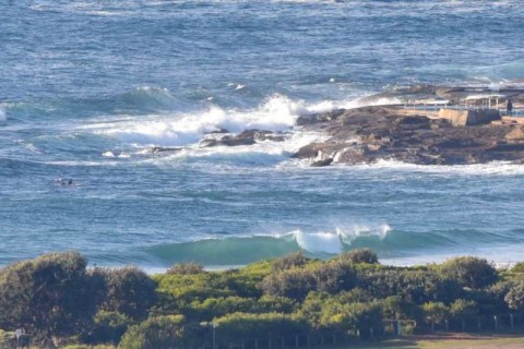
Nice of the rain to confine itself to the night hours. This morning has that sparkling, freshly washed look and, there were still some small waves about. The swell declined precipitously after I filed my report, but the MHL buoy is detecting 1.7 metres of SE swell with a typical period just shy of 9 seconds. Tide was low at 0520 and will be back to high at 1145.
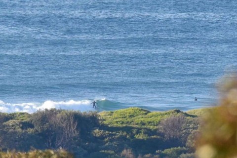
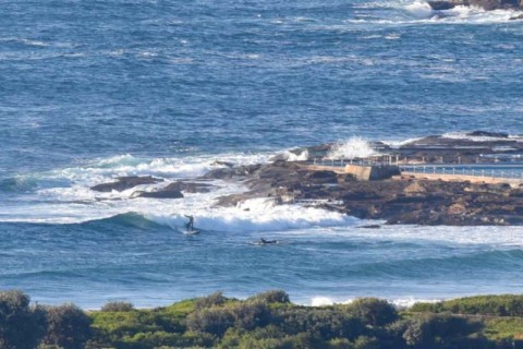
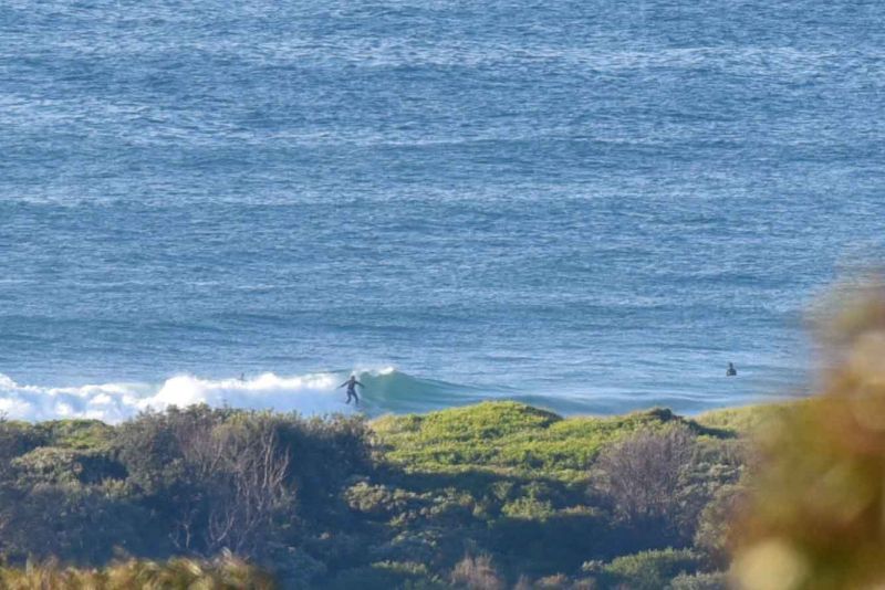
At Dee Why that means wave faces in the knee to waist range at the point and waist to maybe chest on the bombs as you get up to No Mans.
It’s set to be windy soon and the rain is expected to return as well (see the call from the Bureau below).
We should hear from the Goat soon, so I’ll just observe that the models generally are pointing toward an extended period of small, but not flat conditions. Early spring looking to me…
Have yourself a top old Thursday everybody!
Forecast for Thursday until midnight
Gale Warning for Thursday for Sydney Coast
- Winds
- North to northwesterly 15 to 20 knots shifting southwesterly 20 to 30 knots in the early afternoon. Winds possibly reaching 35 knots offshore in the evening.
- Seas
- 1 to 2 metres, increasing to 2 to 3 metres during the afternoon.
- 1st Swell
- Southerly 1 to 2 metres.
- 2nd Swell
- Northeasterly 1 to 1.5 metres.
- Weather
- Partly cloudy. 95% chance of rain. The chance of a thunderstorm.
Friday 4 September
Strong Wind Warning for Friday for Sydney Coast
- Winds
- Southerly 15 to 25 knots, reaching 30 knots in the morning, turning east to southeasterly 10 to 15 knots in the evening.
- Seas
- 2 to 3 metres, decreasing to 1 to 1.5 metres around midday.
- Swell
- Southeasterly 1 to 2 metres.
- Weather
- Partly cloudy. 50% chance of showers.