Hello Friends,
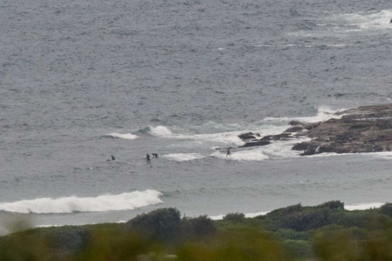
The Bureau has a warning posted for deceptively powerful surf conditions and at 0400 the MHL buoy was showing close to two metres at 12 seconds (plus there was some smaller, weaker component from the NE) – but, as the picture shows, it was pretty quiet looking at Dee Why around 0645. Maybe I didn’t wait long enough for a sneaker set… but it was only waist high at the point and probably about that up the beach. Wind was light early but will be coming up from the NE later – and it’ll be stronger than yesterday. Tide was low at 0500 and will be high again at 1115.
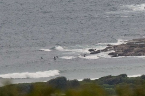
The low tide bank situation hasn’t been too flash at Dee Why lately from what I’ve experienced, so there might be a slight improvement as the tide fills in. It’ll be race against the building wind though.
Outlook according to the Bureau is for the swell to move more east and to come up a bit tomorrow. Friday could offer a morning sesh as well, but both days activities will be limited by the summery NE wind pattern. The Bureau’s MetEye model shows 10-15 kts of NE by 0800 for tomorrow morning and they predict a similar pattern for Friday.
Good luck with your wave hunting and keep on smilin’!
Weather Situation
A high pressure system to the southeast of Tasmania is moving slowly east while maintaining a ridge along the New South Wales coast, directing generally southeast to northeasterly winds over coastal waters. Winds will turn north to northeasterly later today and Thursday as the ridge weakens and a low pressure trough approaches from the west. This trough is expected to evolve into a complex low pressure system as it reaches the coast at the end of the week, with several centres likely to develop. There is considerable uncertainty regarding the position of these centres, which will have a significant influence on wind speed and direction.
Forecast for Wednesday until midnight
Winds
Northeasterly 15 to 20 knots, reaching 25 knots in the evening.
Seas
Around 1 metre, increasing to 1.5 to 2 metres around midday.
Swell
Easterly around 1 metre.
Weather
Partly cloudy. 40% chance of showers.
Caution
Deceptively powerful surf conditions are expected to be hazardous for coastal activities such as crossing bars by boat and rock fishing.
Thursday 28 January
Winds
North to northeasterly 15 to 25 knots.
Seas
1.5 to 2 metres.
Swell
Easterly 1 to 1.5 metres.
Weather
Cloudy. 80% chance of showers.
Friday 29 January
Winds
Northerly 20 to 25 knots turning northeasterly 15 to 25 knots during the morning.
Seas
1 to 2 metres.
Swell
Easterly 1 to 1.5 metres.
Weather
Partly cloudy. 60% chance of showers. The chance of a thunderstorm.

