Hello Friends,
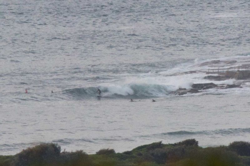
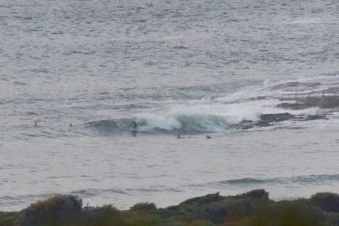
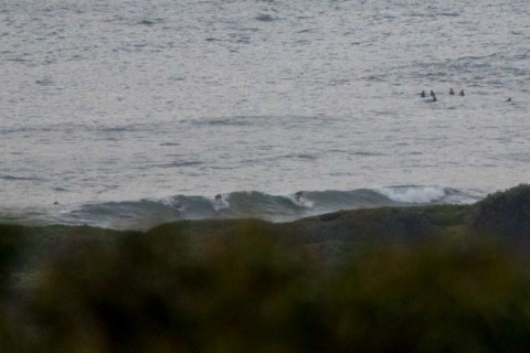
Swell’s dropped fairly dramatically overnight. At 0400 the MHL spectra was picking up 1.9 metres of 11-sec SSE swell. There was also a tiny amount of NE component in the mix, but I don’t think it’s of much importance. As the pictures show, it was in the waist to chest range at the point and along the beach when I checked for the first time this morning.
Wind’s expected to be NE 15-20 kts later and the Bureau says the swell will continue cogging down over the next 24 hours.
Tide was high at 0645 and will be low at 1330.
The morning murk should gradually burn off toward afternoon, but of course the wind’ll be a factor then.
We’ve had an amazingly energetic summer and from the Goat’s call, it looks like flatness isn’t on the menu for the coming week either.
Have yourself a great Friday one and all!
Weather Situation
A high pressure system south of Western Australia extends a ridge over southern and eastern New South Wales, while a low pressure system slips away to the southeast in the Tasman Sea. Southerly swell originating from this low pressure system continues to affect northern parts of the New South Wales coast but will ease by late morning. North to northeasterly winds extend along most of the coast today with a cold front slipping south of the state today bringing a southerly change along the southern coast, reaching central parts of the coast on Saturday morning. A high pressure system will become established over the western Tasman Sea later in the weekend.
Forecast for Friday until midnight
Winds
Northeasterly 15 to 20 knots.
Seas
Around 1 metre, increasing to 1 to 2 metres during the afternoon.
1st Swell
Southerly 2 to 2.5 metres, decreasing to 1.5 metres around midday.
2nd Swell
Easterly around 1 metre.
Weather
Partly cloudy. 30% chance of a shower offshore, near zero chance elsewhere. The chance of a thunderstorm.
Saturday 20 February
Winds
Northerly 15 to 20 knots shifting southerly early in the morning then tending southeasterly in the evening. Winds reaching up to 25 knots inshore in the morning.
Seas
1 to 2 metres.
1st Swell
Southerly 1 to 1.5 metres, decreasing below 1 metre during the afternoon.
2nd Swell
Easterly around 1 metre, increasing to 1 to 1.5 metres offshore.
Weather
Cloudy. 60% chance of showers. The chance of a thunderstorm.
Sunday 21 February
Winds
Southeasterly 15 to 20 knots turning easterly below 10 knots during the evening.
Seas
1 to 2 metres, decreasing to 1 metre during the morning.
Swell
South to southeasterly 1 to 2 metres.
Weather
Partly cloudy. 50% chance of showers. The chance of a thunderstorm in the morning.

