
Hello Friends,
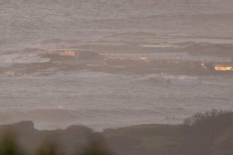
Swell perked noticeably yesterday. At one point peak periods were into the 15-second range from the ESE and wave faces on sets at Dee Why point were head and a bit. It was pretty lumpy and bumpy thanks to an early high tide and worse, the water temp has plummeted following the NE wind. It dropped from around 24 to 20ish.
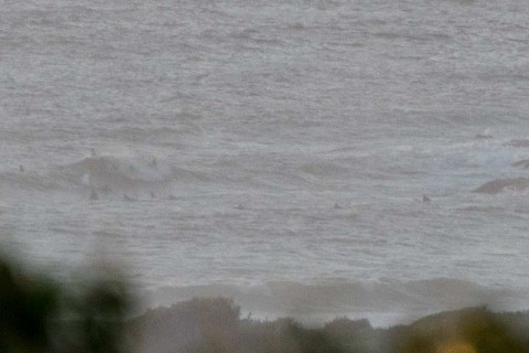
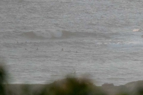
At daybreak there were a number of people on the point at Dee Why chasing chest plus sets. The beach looked to be about the same size and both were pretty messy and lumpy looking even though the wind hadn’t really fired up.
This morning the Bureau is calling for 15-20 knots of N-NE. It was 6-8 kts at 0645 and the 0300 swell recording was showing 1.3 metres of E-ESE swell with a peak period of 13 seconds – well above the forecast 7 seconds. Tide’s high at 0920 and low again at 1540.
Outlook is for the energy levels to decrease from now through the weekend. Average periods are set to slump into the sub-10-second range and wave heights at sea are expected to be around the metre mark. So, pretty marginal prospects until early next week when we might see a little SE perk – if the models have it right.
Get out there if you can and have yourself a fine old Wednesday!
Weather Situation
A slow-moving high pressure system over the eastern Tasman Sea extends a ridge to the northern New South Wales coast, directing east to northeasterly winds across New South Wales waters. Little to no change is expected to this synoptic pattern over the next few days. Winds on the southern and central parts of the coast shift southerly during Thursday before returning to the northeast again on Friday.
Forecast for Wednesday until midnight
Winds
North to northeasterly 15 to 20 knots increasing to 20 to 25 knots in the afternoon.
Seas
1 to 1.5 metres, increasing to 1.5 to 2 metres around midday.
Swell
Easterly around 1 metre, tending northeasterly 1 to 1.5 metres by early evening.
Weather
Partly cloudy. 20% chance of a shower offshore early this morning. Near zero chance of rain elsewhere. The chance of a thunderstorm early this morning.
Thursday 10 March
Winds
Northerly 15 to 20 knots, reaching up to 25 knots offshore early in the morning. Winds turning southeasterly 15 to 20 knots in the late morning or afternoon.
Seas
1 to 2 metres.
Swell
Easterly around 1 metre.
Weather
Partly cloudy.
Friday 11 March
Winds
Northeasterly 15 to 20 knots.
Seas
1 to 1.5 metres.
1st Swell
Easterly around 1 metre, increasing to 1 to 1.5 metres offshore.
2nd Swell
South to southeasterly around 1 metre.
Weather
Partly cloudy.
Please be aware
Wind gusts can be 40 percent stronger than the averages given here, and maximum waves may be up to twice the height.
Nearby Coastal WatersThis forecast is also available via scheduled broadcasts on marine radio.
Latest Coastal Observations
Tide Predictions
The next routine forecast will be issued at 4:05 pm EDT Wednesday.
Product IDN11009


