Hello Friends,
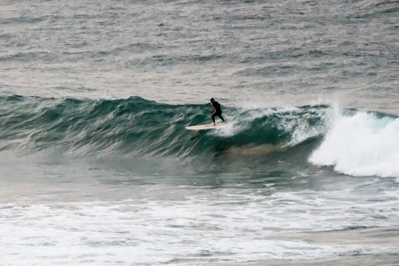
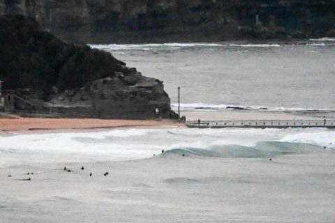
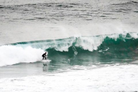
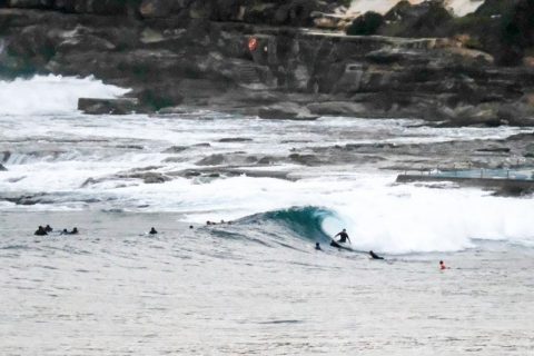
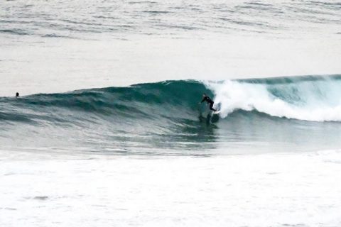
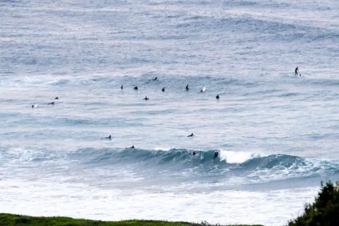
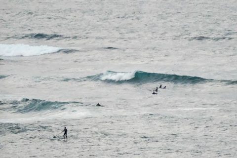
Swell was SSE at 2 metres with an average period of 10 seconds as of 0400. Skies were mainly cloudy as the day got started and at North Head the wind was coming from the west at 5 kts. The Bureau says it should be variable and around 10 kts at first before coming around to the NE by lunchtime.
Outlook is for the energy levels to drop back by evening, but it should still be into the 1-1.5 metre range for tomorrow and Monday. Wind looks likely to be okay in the mornings and then sideshore from the north later on Sunday. Monday looks windier and sideshore early and picking up but going SW in the afternoon.
Outlook is for a peak in swell energy mid-week thanks to 3+ metres of 12 sec south swell – hopefully!.

.
.
.
.
.
.
.
Weather Situation
A high pressure system currently lies over southeastern Australia and is expected to move over the western Tasman Sea today. Winds will gradually turn northwest to northeasterly today and during Sunday. A gusty southerly change is then expected to move along the south and central coast during Monday.
Forecast for Saturday until midnight
Winds
Variable about 10 knots becoming northeasterly 10 to 15 knots in the early afternoon.
Seas
Below 1 metre, increasing to around 1 metre by early evening.
Swell
Southerly 2 to 3 metres, decreasing to 2 metres by early evening.
Weather
Cloudy.
Sunday 22 May
Winds
Northerly 10 to 15 knots, reaching up to 20 knots offshore during the day.
Seas
Around 1 metre, increasing to 1 to 1.5 metres offshore.
Swell
Southerly 1.5 to 2 metres, decreasing to 1.5 metres around midday, then tending southeasterly 1.5 metres by early evening.
Weather
Sunny.
Monday 23 May
Winds
North to northwesterly 15 to 20 knots shifting southwesterly 20 to 30 knots during the afternoon.
Seas
1 to 1.5 metres, increasing to 2 to 3 metres during the afternoon.
Swell
South to southeasterly 1 to 1.5 metres.
Weather
Partly cloudy. 20% chance of a shower.


