Hello Friends,
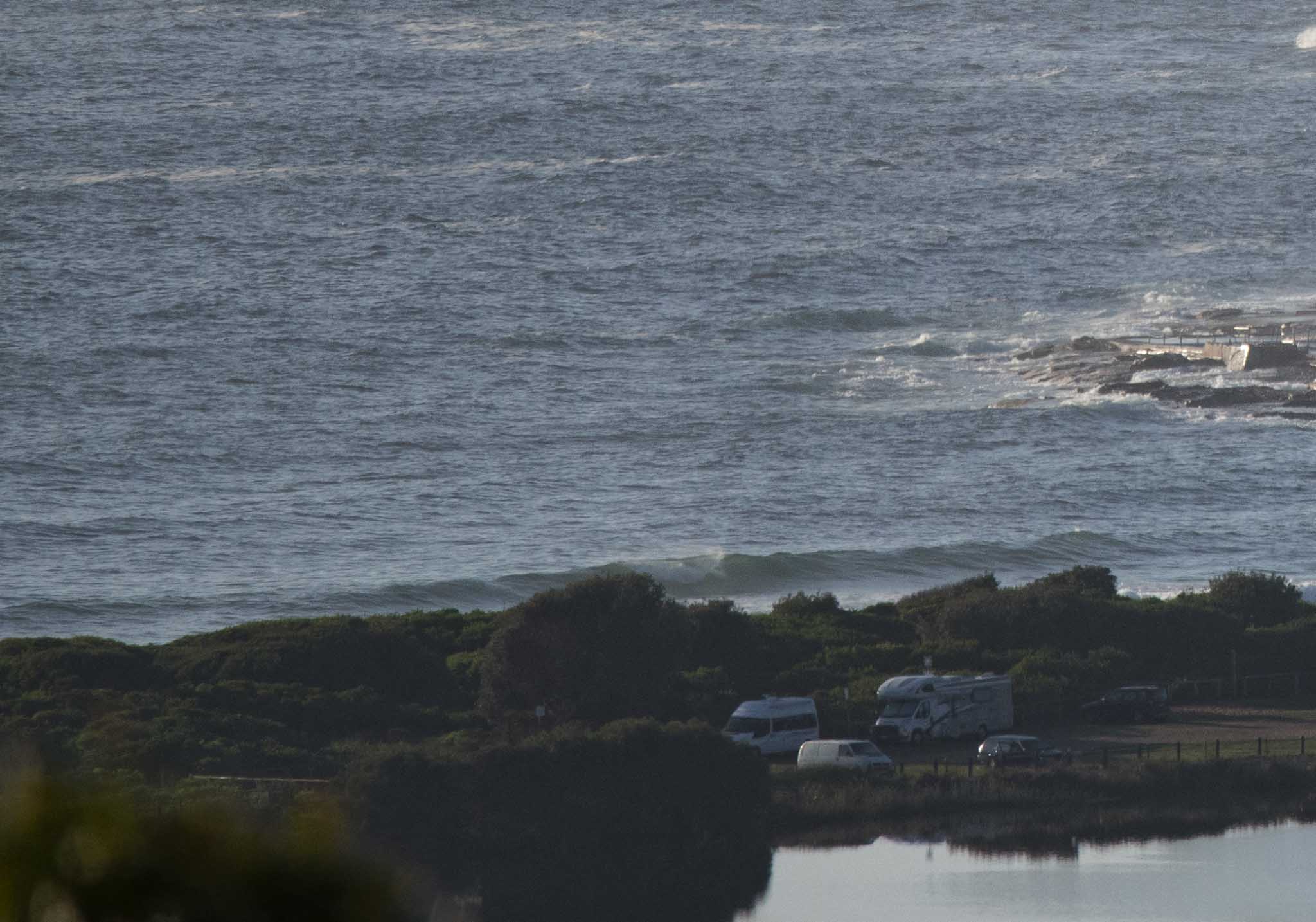
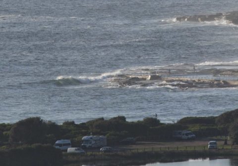
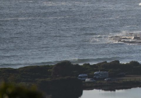
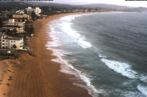
Not much doing at Dee Why as of 0700. The early high tide and light NNE wind aren’t improving the metre or so of 7 second east wind swell washing in. The point’s not a surf option and anything catchable along the beach is looking marginal at best. I reckon a waist high wave face is about the upper limit for the south end of Dee Why. The NE magnets are obviously the go – until the wind smashes them up later this morning.
On a schedule this am, so no time to examine the models in any detail. Overall the picture is for conditions to bump along at about the current intensity for at least another week. So, if you’ve found a little corner somewhere, go back there again today…and tomorrow…and the next day…
Go well!
Weather Situation
A slow moving high pressure system over the Tasman Sea is directing north to northeasterly winds along New South Wales coastal waters. A weak cold front will clip the far south of the state late today, with an associated southerly change extending along the south coast tonight and early Tuesday. Winds are likely to quickly shift northerly throughout again from Tuesday evening due to the persistent high pressure system and a trough approaching from the west.
Forecast for Monday until midnight
Strong Wind Warning for Monday for Sydney Coast
Winds
North to northeasterly 15 to 25 knots, reaching up to 30 knots during the afternoon and evening.
Seas
1.5 to 2.5 metres.
Swell
Easterly around 1 metre.
Weather
Sunny.
Tuesday 27 December
Strong Wind Warning for Tuesday for Sydney Coast
Winds
North to northeasterly 15 to 25 knots, reaching up to 30 knots offshore at times.
Seas
1.5 to 2.5 metres.
Swell
East to northeasterly 1 to 1.5 metres.
Weather
Mostly sunny.
Wednesday 28 December
Winds
North to northeasterly 20 to 30 knots.
Seas
1.5 to 2.5 metres.
Swell
Northeasterly 1 to 1.5 metres, decreasing to around 1 metre during the morning.
Weather
Partly cloudy.


