Hello Friends,
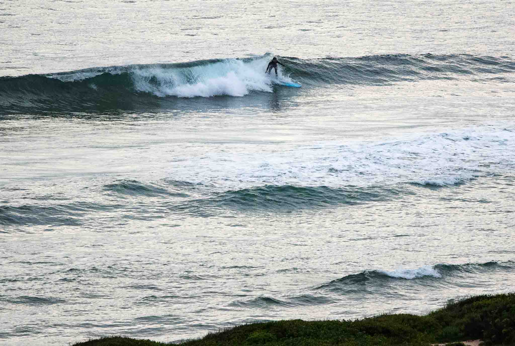
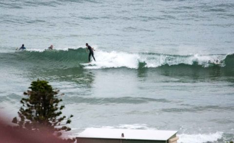
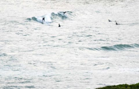
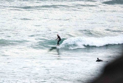
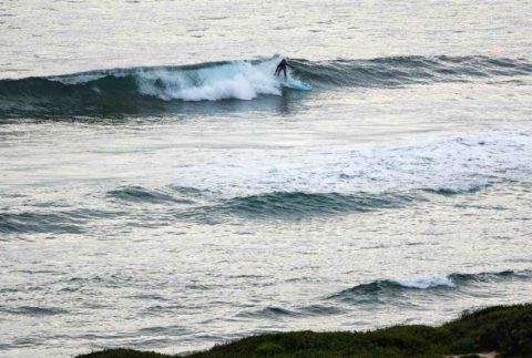
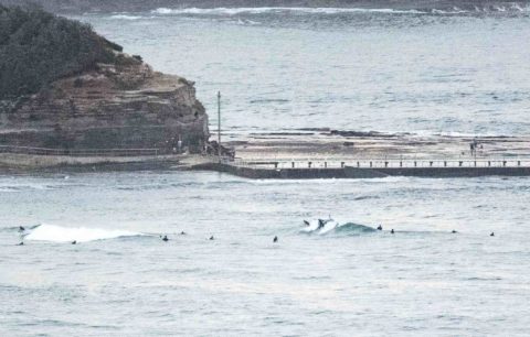
Light NNW wind before 0700 under high overcast skies. Waist and a bit high glassy bumps at magnet peaks from Dee Why to Longy and from south Narrabeen to Northy. Windswell 1.3 metres and coming mainly from the SE with a choppy and gutless period of about 6 seconds. As a consequence waves were pretty slow for the most part. Tide was high at 0430 and will be low at 1110. By then the forecast says we can expect the NEr to have kicked in – which will reduce surf options substantially.
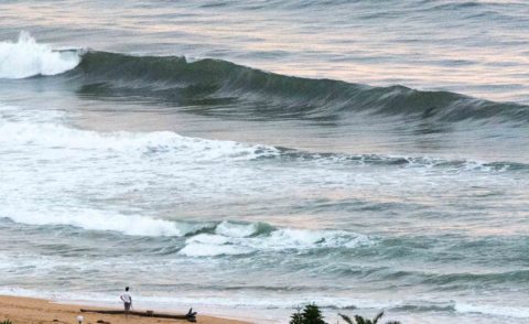
The marginal to tiny settings look likely to persist until around Wednesday when some of the models show us getting a pulse of metre plus 10-11 sec east. Thursday and Friday are again looking hopeful with a 2-3 metre straight south coming together (in the most hopeful scenarios) with cool but nice weather and SW wind. If the predictions come to pass, we could see solid south to SSE swell through to next Monday. Whoo hoo!
So get out there for a stay in shape paddle over the next few days, ’cause it just might be interesting later
Sydney Coastal Waters Forecast: Broken Bay to Port Hacking
No warnings for New South Wales
Forecast issued at 4:10 am EST on Saturday 22 April 2017.
Weather Situation
A high pressure system over the southern Tasman Sea extends a ridge along the New South Wales coast. The high is expected to remain slow-moving over the Tasman Sea for the next several days, directing generally east to northeasterly winds along the New South Wales coast. A brief and weak southerly change is expected along the southern half of the coast on Sunday, after which winds will return to northeasterly on Monday.
Forecast for Saturday until midnight
Winds
North to northeasterly 10 to 15 knots, reaching up to 20 knots offshore during the morning and early afternoon. Winds becoming variable about 10 knots in the late afternoon.
Seas
1 to 1.5 metres, decreasing to 1 metre during the afternoon, then decreasing below 1 metre by early evening.
Swell
Easterly around 1 metre.
Weather
Cloudy. 70% chance of showers.
Sunday 23 April
Winds
Variable about 10 knots.
Seas
Below 1 metre.
Swell
Easterly around 1 metre.
Weather
Partly cloudy. 50% chance of showers offshore, 20% chance elsewhere.
Monday 24 April
Winds
Variable below 10 knots becoming northeasterly 10 to 15 knots during the afternoon then tending northerly during the evening.
Seas
Below 1 metre.
Swell
Easterly around 1 metre.
Weather
Partly cloudy. 40% chance of showers.
Please be aware
Wind gusts can be 40 percent stronger than the averages given here, and maximum waves may be up to twice the height.
Nearby Coastal Waters
This forecast is also available via scheduled broadcasts on marine radio.
Latest Coastal Observations
Tide Predictions
The next routine forecast will be issued at 4:05 pm EST Saturday.
Product I

