Hello Friends,
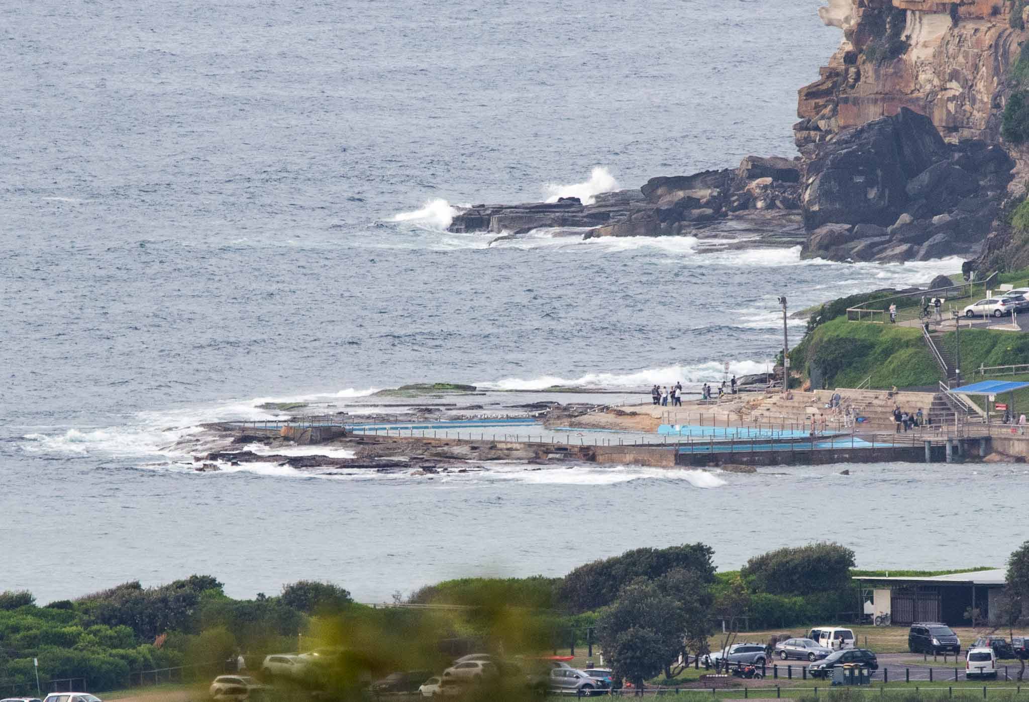
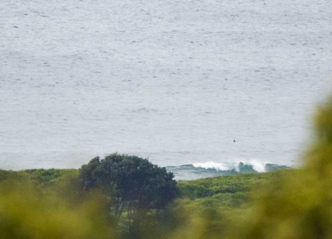
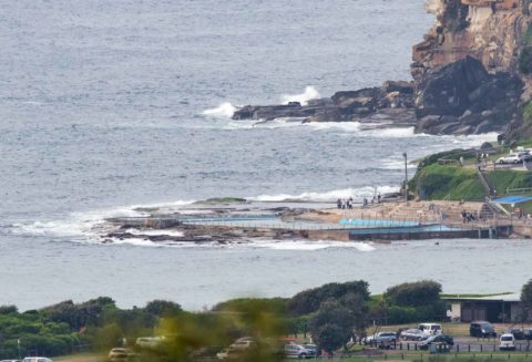
The ocean wasn’t doing much as Anzac Day dawned. There was high overcast early and it’s expected to rain by this afternoon. Wind was light early but we’re in for a fair amount of it later from the NW by this evening. Swell was coming from the east and was about a metre at 10 seconds – which wasn’t doing anything much for Dee Why as the pictures show. The Bureau says it should keep coming from that direction, but to pick up a little.
Tomorrow the Bureau has hoisted a gale warning for NW to SW wind and combined south and east swell which are expected to lead to “large and powerful surf conditions” and then on Thursday the intensity jumps significantly as the swell goes from 2-3 m to 3-5 metres with 25-35kts of SW wind. Friday should see the swell dropping back into the 2 metre range. Beyond that it basically looks as though we should have waves of some sort into early next week.
Today’s tides saw a high of 1.7 metres at 0700 and low will come along at 1315.
Have a reflective Anzac Day everyone.
Weather Situation
A high pressure system over the Tasman Sea extends a ridge to the northern New South Wales coast. The high is expected to weaken and move east as a cold front approaches from the southwest. Winds will shift northerly and increase today, before the front brings a gusty west to southwesterly change during Wednesday. In the wake of this system, a low pressure system may develop over the Tasman Sea, bringing strong to gale force winds to parts of the New South Wales coast.
Forecast for Tuesday until midnight
Winds
Northerly 15 to 25 knots tending northwesterly 20 to 25 knots in the evening.
Seas
1 to 2 metres.
Swell
Easterly around 1 metre, increasing to 1 to 1.5 metres during the morning.
Weather
Partly cloudy. 90% chance of rain. The chance of a thunderstorm offshore during this afternoon and evening.
Wednesday 26 April
Gale Warning for Wednesday for Sydney Coast
Winds
Northwesterly 20 to 25 knots turning west to southwesterly 25 to 30 knots during the morning and early afternoon. Winds reaching up to 35 knots offshore in the late afternoon.
Seas
1.5 to 2 metres, increasing to 2 to 4 metres around midday.
1st Swell
Southerly around 1 metre, increasing to 1.5 metres later in the evening.
2nd Swell
Easterly 1 to 1.5 metres, decreasing to around 1 metre during the morning.
Weather
Partly cloudy. 70% chance of showers.
Caution
Large and powerful surf conditions in the evening are expected to be hazardous for coastal activities such as crossing bars by boat and rock fishing.
Thursday 27 April
Winds
Southwesterly 25 to 35 knots.
Seas
2 to 4 metres.
Swell
Southerly 2 to 3 metres, increasing to 3 to 5 metres during the morning.
Weather
Partly cloudy. 30% chance of a shower.
Caution
Large and powerful surf conditions are expected to be hazardous for coastal activities such as crossing bars by boat and rock fishing.

