Hello Friends,
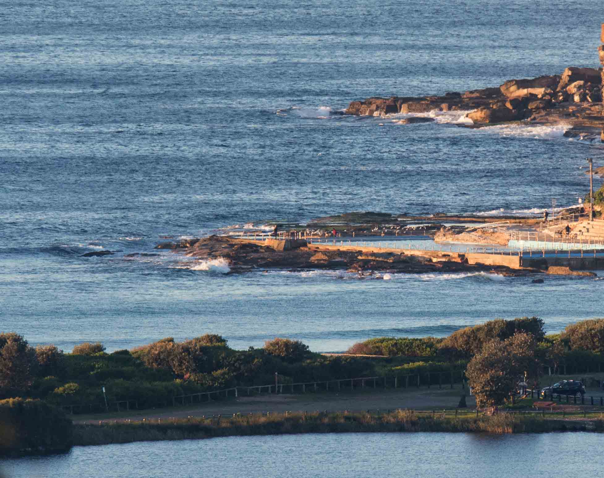
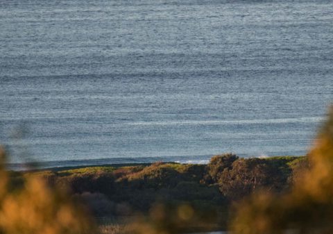
Light westerly breeze blowing out to sea as Tuesday kicked off along the Northern Beaches. At 0600 the MHL buoy was picking up less than a metre of 11-sec SE swell. At 0715 I couldn’t see anyone in the water at Dee Why, nor any reason why there would be. Tide was high at 0600 and is now dropping to the low at noon.
The Bureau has a gale warning posted for today and tomorrow. Today we’re supposed to see a transition from the current westerly to SW later this morning. The swell is set to ramp up into the 2-3 metre range by dark. So, it’ll be worth keeping a weather eye on things today I’d say.
Tomorrow the swell should still be around in one form or another, but the SW’ly is due to go SE, so we’ll go from a few surf options, to almost none. Friday through to next week still looks somewhat hopeful for spots that like east swell. The models aren’t unified, but generally speaking they’re showing mostly southerly wind in the 10-15 kt range through Saturday. It could be Monday before we get back to SW wind again… by then the swell’s projected to be small again.
Have yourself a great Tuesday!

Weather Situation
A low pressure system is expected to form offshore near to the New South Wales coast today as a cold front moves over the Tasman Sea. The low will remain near the coast on Wednesday. This will bring stronger southerly winds to the waters during Tuesday and Wednesday. Winds will then ease from Thursday as the low moves away to the east and a high approaches from the west.
Forecast for Tuesday until midnight
Gale Warning for Tuesday for Sydney Coast
Winds
Westerly 15 to 25 knots turning southwesterly 25 to 30 knots in the morning. Winds reaching up to 40 knots in the evening.
Seas
1 to 1.5 metres, increasing to 2 to 4 metres during the morning.
Swell
Southerly below 1 metre, increasing to 2 to 3 metres by early evening.
Weather
Partly cloudy. 90% chance of showers. The chance of a thunderstorm.
Wednesday 7 June
Gale Warning for Wednesday for Sydney Coast
Winds
South to southwesterly 20 to 30 knots, reaching up to 40 knots early in the morning. Winds tending south to southeasterly 15 to 25 knots during the morning.
Seas
3 to 4 metres, decreasing to 2 to 3 metres during the morning.
1st Swell
Southerly 3 to 4 metres, decreasing to 2 to 3 metres during the morning.
2nd Swell
Easterly below 0.5 metres, tending southeasterly 1 to 1.5 metres by early evening.
Weather
Cloudy. 95% chance of showers. The chance of a thunderstorm.
Thursday 8 June
Winds
Southerly 20 to 30 knots.
Seas
2 to 3 metres.
1st Swell
South to southeasterly 1 to 1.5 metres.
2nd Swell
Southeasterly 1 to 1.5 metres, tending easterly during the afternoon or evening.
Weather
Partly cloudy. 60% chance of showers. The chance of a thunderstorm.


