Hello Friends,
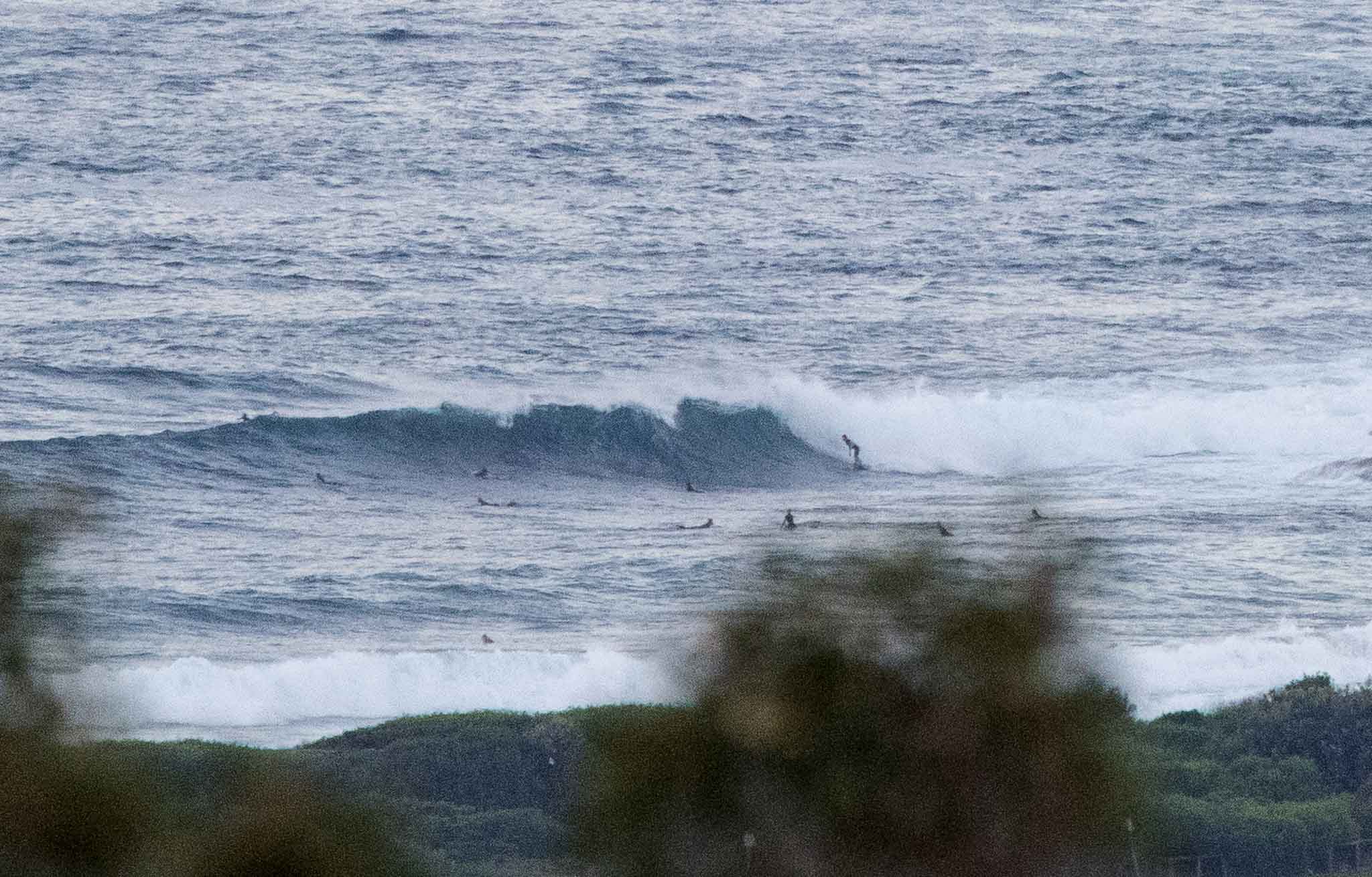
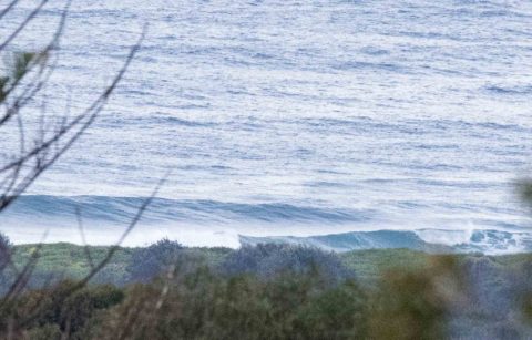
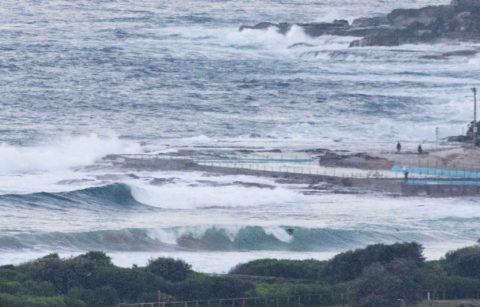
The point crew were on it from first light again this morning. Sets were head plus but mostly it was more chest plus. Wind was a chilly 7-10 kt westerly. Swell is still out of the east to ESE at about 2 metres with a period of close to 11 seconds. So all up, really close to yesterday’s fun settings.
So if you found waves, I’d go back there again to start.
Tide was high at 0620 and will be back to low 1215 and then high again at 1845 (1.96m).
Have a great day everyone!

Weather Situation
A high pressure system near Melbourne is slowly moving northeast into New South Wales, while a low over the northern Tasman Sea moves gradually east. This pattern is directing generally southerly winds along the coast, which will ease during today as the high becomes more predominant. A fairly weak cold front looks set to arrive on the weekend as the the high decays, before a new ridge extends across from the west at the start of next week.
Forecast for Thursday until midnight
Winds
Southerly 10 to 15 knots becoming variable about 10 knots in the late evening.
Seas
1 to 1.5 metres, decreasing below 1 metre around midday.
1st Swell
Southerly 1 to 1.5 metres.
2nd Swell
Easterly 1.5 metres.
Weather
Partly cloudy. 40% chance of light showers.
Friday 23 June
Winds
Northwesterly 10 to 15 knots tending westerly in the late afternoon. Winds reaching up to 20 knots in the late evening.
Seas
Below 1 metre, increasing to around 1 metre around midday.
Swell
Easterly 1.5 metres.
Weather
Partly cloudy. 20% chance of a shower.
Saturday 24 June
Winds
Westerly 15 to 20 knots tending southwesterly during the morning then becoming variable about 10 knots during the afternoon.
Seas
1 to 1.5 metres, decreasing below 1 metre during the afternoon.
1st Swell
Southerly 1 to 1.5 metres.
2nd Swell
Easterly 1 to 1.5 metres.
Weather
Partly cloudy.

