Hello Friends,
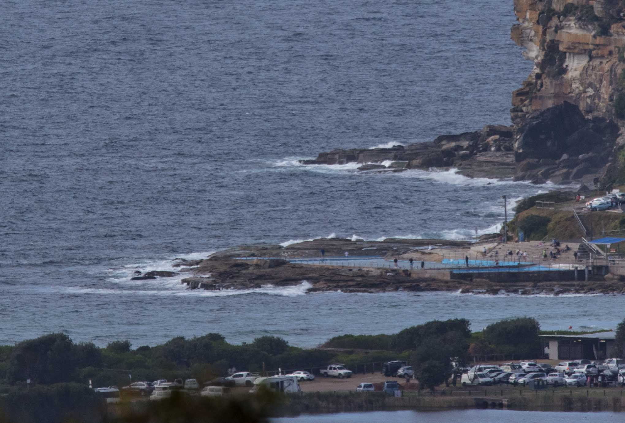
The pictures tell the story surfers. Mostly cloudy skies with a steady 8-10 kts of SE wind chopping up the surface of a swell-free ocean. The MHL buoy was showing 1.3 m of 10-sec SSE swell, but there’s no hint of energy at Dee Why, however you might get a little mal-able dribble up toward Longy. A quick check of the local cams showed ankle to knee high at spots with optimal exposure. An easy day to give it a pass I’d say.
The Bureau’s modelling (and others too) is offering a little more hope for the coming week. On current reckoning we could see a gradual increase in energy levels from the NE from around midwekk onward. It’s not shaping to be amazing, but waist to chest high at NE magnets by Thr-Fri doesn’t seem wildly optimistic.
Have a great Sunday everyone and keep on smilin’!

DY
Weather Situation
A high pressure system over the central Tasman Sea and a low pressure trough off the far south coast of Queensland is generating east to southeasterly winds over most New South Wales waters. Winds will gradually will shift east to northeasterly during the next few days as the high strengthens and the trough slowly moves northwards.
Forecast for Sunday until midnight
Winds
East to southeasterly 10 to 15 knots decreasing to about 10 knots in the day.
Seas
Around 1 metre, decreasing below 1 metre during the day.
Swell
Southerly around 1 metre.
Weather
Partly cloudy. 20% chance of a shower.
Monday 16 October
Winds
Easterly 10 to 15 knots.
Seas
Below 1 metre.
Swell
Northeasterly around 1 metre.
Weather
Partly cloudy. 30% chance of a shower.
Tuesday 17 October
Winds
Easterly 10 to 15 knots.
Seas
1 to 1.5 metres.
Swell
Northeasterly 1 to 1.5 metres.
Weather
Partly cloudy. 30% chance of a shower.

