Hello Friends,
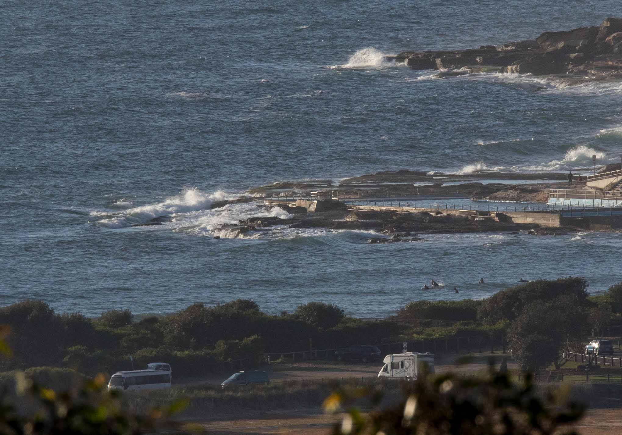
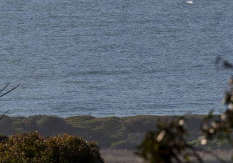
The Bureau says it will cloud over as the day goes along and that there’s a chance of a shower later on, but as Thursday fired up, it was sunny with a light NNE breeze. As the pictures show the wave activity was minimal at Dee Why and up to No Mans. I’m calling it ankle to knee. It’s therefore no surprise to see the 0500 data from the MHL Sydney buoy showing 1 metre of 6-second wind bump coming from the NE.
Wind should be out of the NE all day and by this afternoon it’ll be 15-20 kts. That should push up the little bumps a bit but of course it’ll be strongly onshore and cloudy too. Tide was high at 0745 and will be back to low at 1400.
The Goat should be along later today with his thoughts on the week ahead and as always I’ll be keen to see how his wisdom compares to the consensus of the models. From the look of the Bureau’s interpretation of the data, we’re not likely to see any improvement to size until early next week – and then it looks like being longish period east with heaps of east wind.
Have a top old Thursday one and all!


The red wattlebird is a passerine bird native to southern Australia. At 33–37 cm in length, it is the second largest species of Australian honeyeater. Wikipedia
Scientific name: Anthochaera carunculata
.
.
.
Weather Situation
A high pressure system near New Zealand with a ridge to the northwest is directing northeasterly winds along the New South Wales coast.
Forecast for Thursday until midnight
- Winds
- Northeasterly 15 to 20 knots, reaching up to 25 knots offshore in the evening.
- Seas
- 1.5 to 2 metres.
- Swell
- East to northeasterly below 0.5 metres.
- Weather
- Becoming cloudy. 20% chance of a shower.
Friday 17 November
- Winds
- Northeasterly 20 to 25 knots.
- Seas
- 1.5 to 2 metres.
- Swell
- Northeasterly below 1 metre.
- Weather
- Cloudy. 95% chance of showers inshore, 70% chance elsewhere. The chance of a thunderstorm in the morning and afternoon.
Saturday 18 November
- Winds
- Northeasterly 20 to 25 knots turning easterly 15 to 20 knots during the evening.
- Seas
- 2 to 2.5 metres.
- Swell
- Northeasterly below 1 metre.
- Weather
- Cloudy. 70% chance of showers.

