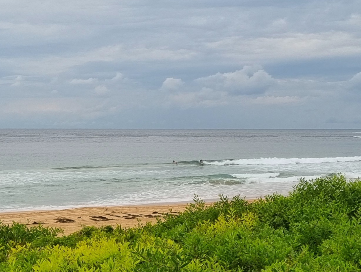
Surf forecast issued Thursday 30 November 2017: Seven day outlook for Sydney:
First of all… I said to Waz I had to do a forecast tonight… He said, So you just cut and paste?…
Cut and Paste??!!
The surf forecasts are all TG’s original, ir-responsible, work.
Hours of detailed analysis of lots of complicated stuff go into putting together the surf forecast. TG constantly strives for precision and perfection . The typing alone takes forever, using two fingers.
Waz, Read this>>>>The Goat FAQs… FYI>>>>
Now, the Surf Forecast for the first week of Summer
There should be some fun, rideable waves at the right tides (generally lower tides), at the right places, most of the coming week…
Don’t expect too much and you won’t be disappointed…
Friday: should be a little bigger than it was today –say around the mid point of the 1-2 metre range East North East
Saturday: dittoish
Sunday: same again, but maybe a tad bigger
Monday: down into the lower end of the 1-2 metre range East North East
Tuesday: ditto East
Wednesday: ditto
Thursday: and again, East North East
See if you can find where that was cut and paste from.
Any cut and paste bits are from the sources identified below….
Enjoy!
TG
The Sky is Blue
How fascinating is that 1004 isobar below, tracking along the northern coastline, where the land meets the sea.


Winds
https://www.windy.com/?-33.883,151.156,5
The Sea is too
Water temp is still bouncing around from day to day as the East Coast Current swirls down the coast and gets disturbed by days and days of Noreasters and the occasional short Southerly spell. So tomorrow, the next day or the next, might be 18 …or might be 22. You’ll just have to stick your big toe in the water to find out each day.

Tides
http://www.rms.nsw.gov.au/documents/maritime/usingwaterways/tides-weather/tide-tables-2017-2018.pdf
Weather from the Bureau
Forecast for the rest of Thursday
- Summary

- Mostly clear.
- Chance of any rain: 5%

Sydney area
Partly cloudy. Winds northeasterly 15 to 25 km/h.
Sun protection recommended from 8:30 am to 4:50 pm, UV Index predicted to reach 12 [Extreme]
Friday 1 December
- Summary

- Min 21
- Max 28
- Possible afternoon shower.
- Possible rainfall: 0 to 0.2 mm
- Chance of any rain: 30%

Sydney area
Partly cloudy. Slight (30%) chance of a shower in the afternoon. Winds northeasterly 15 to 20 km/h becoming light in the morning then becoming northeasterly 25 to 35 km/h in the middle of the day.
Fire Danger – High
Sun protection recommended from 8:20 am to 4:50 pm, UV Index predicted to reach 13 [Extreme]
7 day Town Forecasts
| Precis Icon | Location | Min | Max |
|---|---|---|---|
| Sydney | 21 | 28 | |
| Penrith | 20 | 33 | |
| Liverpool | 19 | 32 | |
| Terrey Hills | 19 | 28 | |
| Richmond | 18 | 33 | |
| Parramatta | 17 | 31 | |
| Campbelltown | 18 | 32 | |
| Bondi | 21 | 25 |
Saturday 2 December
- Summary

- Min 22
- Max 29
- Rain at times.
- Possible rainfall: 4 to 8 mm
- Chance of any rain: 70%

Sydney area
Partly cloudy. High (80%) chance of rain, most likely in the late afternoon and evening. The chance of a thunderstorm in the afternoon and evening. Winds north to northeasterly 15 to 25 km/h increasing to 30 km/h before turning northwesterly 15 to 20 km/h in the late evening.
Sun protection recommended from 8:20 am to 4:50 pm, UV Index predicted to reach 13 [Extreme]
Sunday 3 December
- Summary

- Min 21
- Max 29
- Possible shower.
- Possible rainfall: 0 to 0.4 mm
- Chance of any rain: 40%

Sydney area
Partly cloudy. Medium (40%) chance of showers, most likely in the evening. Winds north to northwesterly 15 to 25 km/h tending west to northwesterly during the day then becoming light during the evening.
Sun protection recommended from 8:30 am to 4:50 pm, UV Index predicted to reach 13 [Extreme]
Monday 4 December
- Summary

- Min 19
- Max 24
- Showers increasing.
- Possible rainfall: 1 to 4 mm
- Chance of any rain: 80%

Sydney area
Partly cloudy. High (80%) chance of showers, most likely in the afternoon and evening. The chance of a thunderstorm in the afternoon and evening. Light winds becoming east to southeasterly 15 to 20 km/h during the afternoon then becoming light during the evening.
Tuesday 5 December
- Summary

- Min 19
- Max 23
- Showers.
- Possible rainfall: 4 to 10 mm
- Chance of any rain: 90%

Sydney area
Cloudy. Very high (95%) chance of showers. The chance of a thunderstorm. Light winds becoming south to southeasterly 15 to 20 km/h during the morning then tending east to southeasterly during the day.
Wednesday 6 December
- Summary

- Min 19
- Max 25
- Showers.
- Possible rainfall: 1 to 4 mm
- Chance of any rain: 80%

Sydney area
Partly cloudy. High (70%) chance of showers. The chance of a thunderstorm. Light winds.
Thursday 7 December
- Summary

- Min 18
- Max 25
- Shower or two.
- Possible rainfall: 0 to 2 mm
- Chance of any rain: 60%

Sydney area
Partly cloudy. Medium (60%) chance of showers. The chance of a thunderstorm. Light winds.

