Hello Friends,
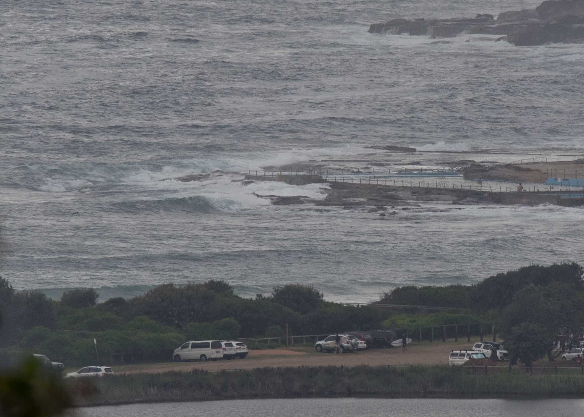
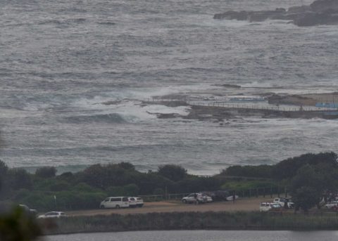
One of those mornings when you need to be unusually keen. Skies were heavily overcast, the wind was coming from the SSE at a steady 10-12 kts and tide was coming into a 1.7 m high at 0830. Out at sea the MHL buoy was seeing swell coming from the east at 1.5 m but with a choppy 6-7 second period.
There were a few folks in the water chasing ankle to knee high dribblers along the beach, but as the picture shows there was nothing at the point.
Outlook is for the weak and tiny conditions to prevail all day. And, according to this morning’s swell models, we’re not likely to see sub-10 second average periods for the next week. Blergh. So, time to look at the alternatives if you’re planning to get in the water. Maybe take the mal or a SUP or just a pair of goggles for a swim.
Have a good one everybody!
Weather Situation
A slow-moving high pressure system over the Tasman Sea with a ridge to the northwest is directing north to northeasterly winds along the New South Wales north coast. A weak southerly change will stall on the central coast and weaken this morning. Winds are expected to turn northeasterly on the south and central coasts by this evening.
Forecast for Sunday until midnight
- Winds
- Southeasterly 15 to 20 knots shifting northeasterly in the early morning.
- Seas
- Below 1 metre, increasing to 1 to 1.5 metres offshore by early evening.
- Swell
- Northeasterly 1 to 1.5 metres, decreasing to around 1 metre during the afternoon.
- Weather
- Partly cloudy.
Monday 18 December
- Winds
- Northeasterly 15 to 20 knots.
- Seas
- 1 to 1.5 metres, increasing to 1.5 to 2 metres during the afternoon.
- Swell
- Northeasterly around 1 metre.
- Weather
- Partly cloudy.
Tuesday 19 December
- Winds
- Northeasterly 15 to 20 knots turning northerly 20 to 25 knots during the evening.
- Seas
- 1 to 1.5 metres, increasing to 1 to 2 metres during the afternoon.
- Swell
- Northeasterly 1 to 1.5 metres, tending easterly below 1 metre during the afternoon.
- Weather
- Mostly sunny.

