
Hello Friends,
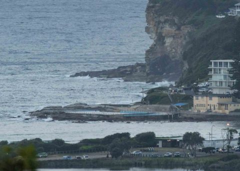
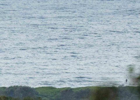
10 kts of SW wind and partly cloudy skies as of 0600, but still no waves. The latest MHL data from 0300 was showing 1.5 m of 5-sec south wind bump and that, plus the wind, plus the incoming king tide at 0956 meant no waves for Dee Why.
Outlook is for the ocean to remain quiescent today – and for well into next week.
Wish it was otherwise, but there ya go. At least we’re another day closer to the waves returning.
Have a great day everyone!
Weather Situation
A southerly surge, associated with a cold front passing to the south, is forecast to reach the north coast during today. Meanwhile, a high pressure system in the Bight extends a ridge to the east. This high is expected to move to the Tasman Sea later Thursday and Friday, bringing a gradual shift to generally northerly winds over New South Wales waters.
Forecast for Wednesday until midnight
- Winds
- Southerly 15 to 20 knots.
- Seas
- Around 1 metre, increasing to 1 to 2 metres during the morning.
- Swell
- Southerly around 1 metre.
- Weather
- Cloudy. 70% chance of showers. The chance of a thunderstorm during the morning and afternoon.
Thursday 4 January
- Winds
- Southerly 10 to 15 knots becoming variable below 10 knots in the early afternoon.
- Seas
- Around 1 metre.
- Swell
- Southerly around 1 metre.
- Weather
- Partly cloudy.
Friday 5 January
- Winds
- Variable about 10 knots becoming northeasterly 10 to 15 knots during the day.
- Seas
- Around 1 metre.
- Swell
- Southerly around 1 metre.
- Weather
- Mostly sunny.

