Sunday Update
Don’t think you’re getting this treatment all the time… It’s just cause Don’s clearly busy on the other side of the Pacific.
When I first looked at my own little weather station at home it read 16 outside. I thought it must be wrong, but the BoM says Sydney Airport on the coast right now is 17.8 with an apparent temp of 9.8!
While the sky is patchy as is the wind, at the airport it’s registering 52 kph gusts from SW.
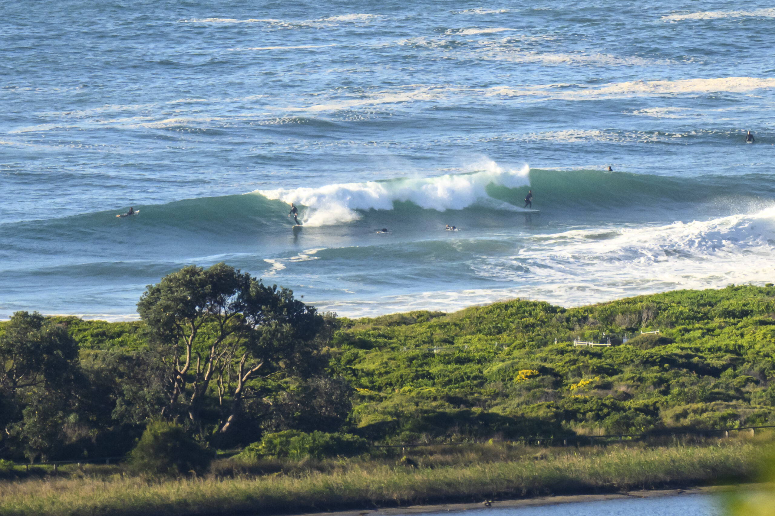
The surf’s coming up but is messy. Offshore it’s 3-6 metres from due South with 6-8 second periods.
The wind and the wave size will increase through the day. Showers, max 23 and ‘becoming windy’.
Have a good one doing something else.
TG
Saturday Update
Friday Update
No significant change to the outlook below, so if you want a weekend surf I’d be looking at Saturday early on in the day.
The planned ‘Around the Bends’ Newport to Avalon, and annual Avalon Beach ocean swims scheduled for this Sunday by Avalon Beach SLSC, have been postponed to Sunday 8 April 2018, due to water safety concerns with the deteriorating weather and surf outlook for Sunday.
There’ll be some solid swell pushing up along the NSW coast from mid week onwards, but it will be for experts and the experienced only!
Stay safe everynone.
TG
Surf forecast issued Thursday 11 January 2018: Seven day outlook for Sydney:
Well, we’ve had some changeable weather, wind and smallish waves that were pleasant for some at times over the past week.
It looks like we’re going to get some more changeable weather and wind over the coming week with smallish waves at first.
But then, depending on what a Low that’s expected to form over Bass Strait does when it goes into the Tasman, we look like getting weather, wind and waves that’ll be not so pleasant for most people till possibly later in the week.
Lows have a habit of not doing what may be expected. You just can’t tell Mother Nature what to do. We’ll know more over coming days. At this stage TG can only go with what’s in his fogged up crystal ball.
Entries are open for the Around the Bends Swim from Newport to Avalon, and Avalon Beach Surf Swims this Sunday…
Details here for all you dedicated ocean swimmers…http://avalonbeachslsc.com.au/
Surf
Friday: around 1 metre South South East
Saturday: in the lower end of the 1-2 metre range South East/North East
Sunday: IF the expected Low moves as it’s expected and when it’s expected, then let’s say in the 1-2 metre range short period near to shore at places open to dead South at first, (bigger swell out offshore), with SSW swell and wind to start with, and then building into say the 2-3 metre range later on at dead South places …But all accompanied by windy S/SSW wind… so as it comes up the coast from way down South, NG for Sydney or the South Coast, and probably not much getting into the North Coats points.
Monday: ditto again re the Low(‘s) expectations… could be in the 2-3 , 3+ metre range with increasing wave period at dead South spots, (with SW/S/SE wind expected by the BoM)…still probably NG Sydney and South Coast; maybe North Coast?
Tuesday: ditto re Lowdown, say 3-4 metres of big period dead South swell (with SE wind)…probably NMG for most Sydney, South Coast; North Coast prospects looking better
Wednesday: ditto downLow, 4+ metres dead South (with light NE wind expected)… experts, experienced only for Sydney, South Coast, North Coast
Thursday: easing back to around 2-3 metres South East but still with solid wave periods
There you go.. Those glum people who weren’t looking forward to going back to work next week, now have something to smile about!
The rest of you: Try to enjoy!
TG
Forecast for the rest of Saturday
- Summary

- Max 33
- Shower or two.
- Possible rainfall: 1 to 4 mm
- Chance of any rain: 70%

Sydney area
Partly cloudy. High (70%) chance of showers, most likely during this afternoon and evening. The chance of a thunderstorm during this afternoon and early evening. Winds north to northwesterly 15 to 20 km/h shifting south to southeasterly 25 to 35 km/h in the late afternoon then decreasing to 15 to 25 km/h in the evening.
Fire Danger – Very High
Sun protection recommended from 8:50 am to 5:10 pm, UV Index predicted to reach 13 [Extreme]
Sunday 14 January
- Summary

- Min 17
- Max 23
- Showers easing. Windy.
- Possible rainfall: 3 to 10 mm
- Chance of any rain: 90%

Sydney area
Partly cloudy. High (80%) chance of showers, most likely in the morning. Winds southerly 25 to 35 km/h, reaching 50 km/h along the coast.


