.
Hello Friends,
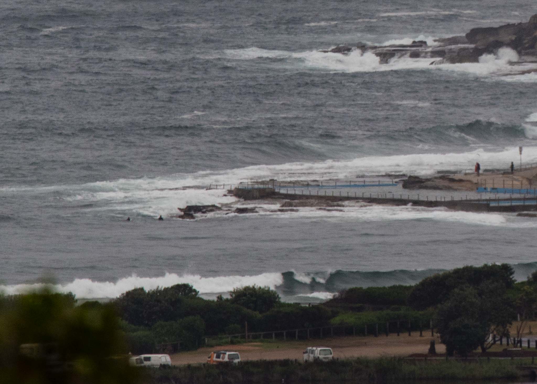
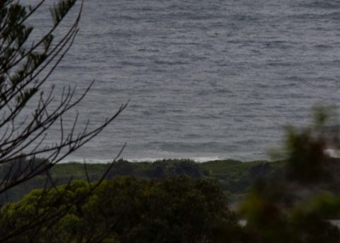
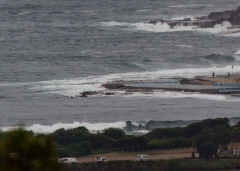
As expected, we’ve switched over to southerly conditions this morning. So, grey skies, the odd spot of rain, and a building southerly that should see wind speeds in the 25-30 kt range later today. Swell has come up from yesterday as it builds toward the 2-3 metre mark by lunch time. Surface conditions at 0900 were not too bad, but wind was coming from the SW at 8-10kts. Once it goes south and gets to full throttle quality at Dee Why will go downhill.
Outlook is for these southerly settings to stay about the same for at least another few days. Some models show the wind getting a SW tilt around Sunday but the swell energy levels are looking like fading away too. This surfing business really requires a lot of patience!
Have a great day everybody and stay happy, you hear?
Weather Situation
A front with an associated southerly change over the Hunter waters is moving north and will reach the far north coast by late morning/early afternoon. Behind the front a slow-moving high pressure system south of the Bight will extend a ridge along the coast maintaining south to southeasterly winds over the next few days.
Forecast for Wednesday until midnight
Strong Wind Warning for Wednesday for Sydney Coast
- Winds
- Southerly 25 to 30 knots.
- Seas
- 2 to 3 metres.
- 1st Swell
- Southerly 1.5 to 2 metres, increasing to 2 to 3 metres around midday.
- 2nd Swell
- Easterly 1 to 1.5 metres.
- Weather
- Cloudy. 80% chance of rain.
- Caution
- Large and powerful surf conditions in the afternoon and evening are expected to be hazardous for coastal activities such as crossing bars by boat and rock fishing.
Thursday 1 February
Strong Wind Warning for Thursday for Sydney Coast
- Winds
- Southerly 15 to 25 knots, reaching up to 30 knots early in the morning.
- Seas
- 2 to 3 metres, decreasing to 1 to 1.5 metres during the morning.
- 1st Swell
- Southerly 2.5 to 3 metres, decreasing to 2 metres by early evening.
- 2nd Swell
- Easterly 1 to 1.5 metres inshore, increasing to 1.5 to 2 metres offshore.
- Weather
- Cloudy.
- Caution
- Large and powerful surf conditions are expected to be hazardous for coastal activities such as crossing bars by boat and rock fishing.
Friday 2 February
- Winds
- Southerly 10 to 15 knots.
- Seas
- Around 1 metre, increasing to 1 to 1.5 metres during the afternoon or evening.
- 1st Swell
- Southerly 2 metres, tending southeasterly 1.5 to 2 metres during the morning.
- 2nd Swell
- Easterly 1 to 1.5 metres, decreasing to around 1 metre during the morning.
- Weather
- Partly cloudy. 50% chance of showers.
Please be awareWind gusts can be 40 percent stronger than the averages given here, and maximum waves may be up to twice the height.
Nearby Coastal Waters

- This forecast is also available via scheduled broadcasts on marine radio.
- Latest Coastal Observations
- Tide Predictions
- Marine Knowledge Centre – explanations and definitions
The next routine forecast will be issued at 4:05 pm EDT Wednesday.
Product IDN11009

