
Hello Friends,
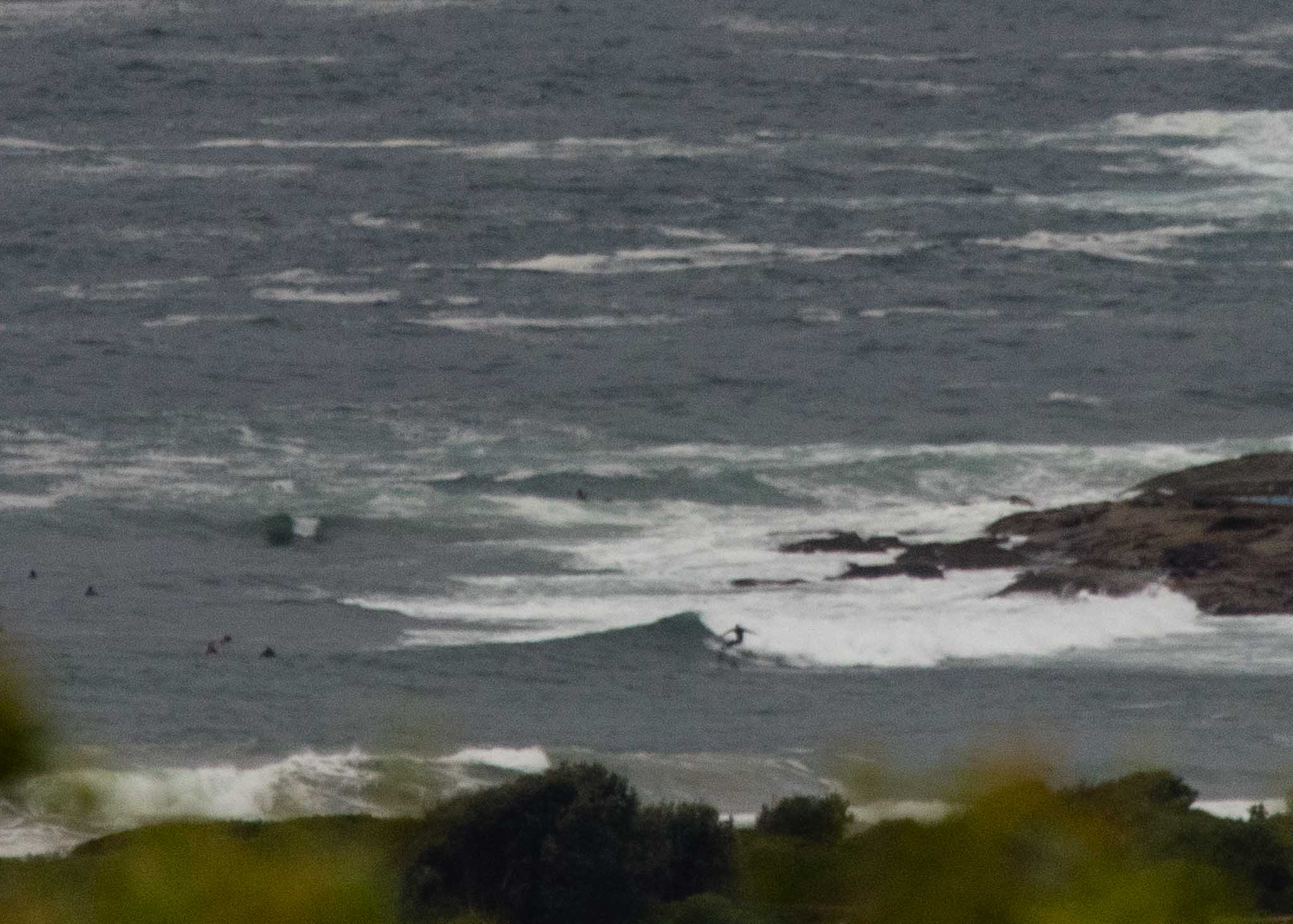
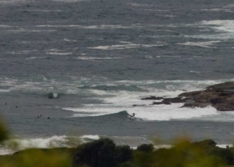
Waves were in the waist to chest high range at the point and along the Dee Why end of the beach this morning at around 0715. Surface conditions were sort of choppy and lumpy but wind was light westerly for the early but it should gradually swing around to the east-SE but not get too strong. Plus the swell should continue at more or less the same level. Next tide is a 1.5 m high at 1240 and weather should stay partly cloudy all day. Ocean is 24oC.
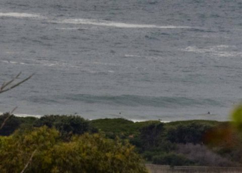
Outlook is for energy levels to fade back into the marginal range over the next 24 hours.
So get in if you can and however it plays out, have a great day one and all!
Weather Situation
A slow-moving high pressure system over the southwestern Tasman Sea with a ridge to the north/northwest is directing southeast to northeasterly winds along the New South Wales coast.
Forecast for Wednesday until midnight
- Winds
- East to southeasterly about 10 knots.
- Seas
- Below 1 metre.
- 1st Swell
- Southerly 1 to 1.5 metres.
- 2nd Swell
- Easterly 1.5 metres, tending southeasterly 1 to 1.5 metres during the morning, then tending east to southeasterly around 1 metre by early evening.
- Weather
- Cloudy.
Thursday 22 February
- Winds
- Northeasterly about 10 knots increasing to 10 to 15 knots in the evening.
- Seas
- Below 1 metre.
- 1st Swell
- South to southeasterly 1.5 metres, increasing to 1 to 2 metres around midday.
- 2nd Swell
- East to northeasterly around 1 metre, tending southeasterly 1 to 1.5 metres during the morning, then tending easterly below 1 metre during the afternoon.
- Weather
- Cloudy.
Friday 23 February
- Winds
- North to northeasterly 15 to 25 knots.
- Seas
- 1 to 2 metres.
- Swell
- Southeasterly 1.5 to 2 metres, decreasing to 1 to 1.5 metres during the morning.
- Weather
- Partly cloudy.

