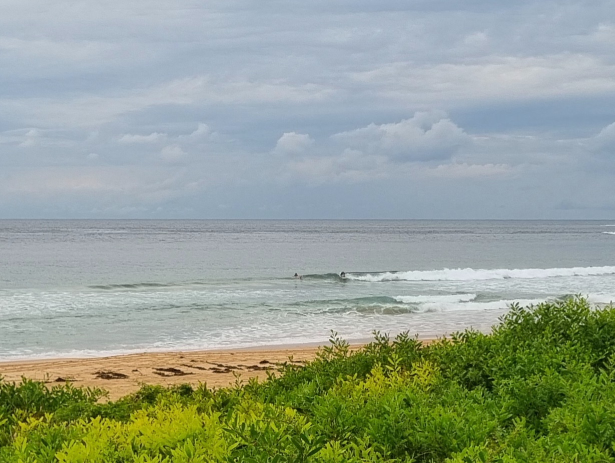
Surf forecast issued Thursday 12 April 2018: Seven day outlook for Sydney:
There’s been a bit of hot air blowing our way from the inland of the Continent – Did you just say: ‘There must be a political convention on out there!’ … ‘I didn’t know they’d moved Canberra’ – Dear oh dear… Of course they haven’t moved it. The hot air is only temporarily coming from that direction. Now, don’t you get me started.
The ocean has been agitated too… sometimes small, sometimes big..sometimes good, sometimes bad… It’ll probably be settling down soon into a bit more of a routine in the lead up to the school holidays.
Friday: down more from today, in the 1-2 metre range East South East, with some little sets
Saturday: around the low end of the 1-2 metre range North East and South East, still with an occasional pulse
Sunday: low end 1-2 metre range North East and South East
Monday: about 1 metre North East
Tuesday: about 1 metre at places that get dead South swell
Wednesday: up slightly in the 1-2 metre range at dead South places
Thursday: down to around 1 metre at dead South places.
Happy Birthday to Mark Morrisey
from TG.
Up in the Sky


Winds
https://www.windy.com/-33.855/151.216/waves?-34.881,151.216,7,m:cIJaknc
Down in the Sea
Water temp is a balmy 23ish

Tides
http://www.rms.nsw.gov.au/documents/maritime/usingwaterways/tides-weather/tide-tables-2017-2018.pdf
Weather from the Bureau:
Forecast for the rest of Thursday
- Summary

- Mostly clear.
- Chance of any rain: 0%

Sydney area
Mostly clear. Winds northwesterly 15 to 25 km/h.
Sun protection recommended from 9:10 am to 2:30 pm, UV Index predicted to reach 6 [High]
Friday 13 April
- Summary

- Min 22
- Max 35
- Mostly sunny.
- Chance of any rain: 20%

Sydney area
Mostly sunny morning. Slight (20%) chance of a shower or thunderstorm in the afternoon and evening. Winds northwesterly 25 to 35 km/h becoming light in the evening then becoming northerly 15 to 20 km/h in the late evening.
Fire Danger – Very High
Sun protection recommended from 9:10 am to 2:20 pm, UV Index predicted to reach 6 [High]
7 day Town Forecasts
| Precis Icon | Location | Min | Max |
|---|---|---|---|
| Sydney | 22 | 35 | |
| Penrith | 20 | 35 | |
| Liverpool | 19 | 35 | |
| Terrey Hills | 20 | 32 | |
| Richmond | 20 | 35 | |
| Parramatta | 20 | 35 | |
| Campbelltown | 18 | 35 | |
| Bondi | 23 | 34 |
Saturday 14 April
- Summary

- Min 21
- Max 30
- Possible morning shower.
- Possible rainfall: 0 to 1 mm
- Chance of any rain: 40%

Sydney area
Partly cloudy. Medium (40%) chance of showers in the morning. The chance of a thunderstorm in the morning. Winds northerly 20 to 30 km/h tending northwesterly 25 to 40 km/h early in the morning.
Sun protection recommended from 9:30 am to 2:10 pm, UV Index predicted to reach 5 [Moderate]
Sunday 15 April
- Summary

- Min 18
- Max 25
- Sunny.
- Chance of any rain: 5%

Sydney area
Sunny. Winds west to northwesterly 25 to 35 km/h becoming light during the evening.
Sun protection recommended from 9:20 am to 2:20 pm, UV Index predicted to reach 6 [High]
Monday 16 April
- Summary

- Min 17
- Max 28
- Sunny.
- Chance of any rain: 5%

Sydney area
Mostly sunny. Light winds becoming northwesterly 15 to 20 km/h during the morning then tending westerly during the day.
Tuesday 17 April
- Summary

- Min 17
- Max 24
- Shower or two.
- Possible rainfall: 0 to 1 mm
- Chance of any rain: 50%

Sydney area
Partly cloudy. Medium (60%) chance of showers. Light winds becoming southeasterly 15 to 25 km/h during the day.
Wednesday 18 April
- Summary

- Min 18
- Max 23
- Shower or two.
- Possible rainfall: 0 to 2 mm
- Chance of any rain: 60%

Sydney area
Cloudy. Medium (60%) chance of showers. Light winds.
Thursday 19 April
- Summary

- Min 17
- Max 26
- Possible shower.
- Possible rainfall: 0 to 1 mm
- Chance of any rain: 40%

Sydney area
Partly cloudy. Medium (40%) chance of showers. Winds northwest to northeasterly 15 to 20 km/h tending southeast to southwesterly 15 to 25 km/h later.

