Hello Friends,
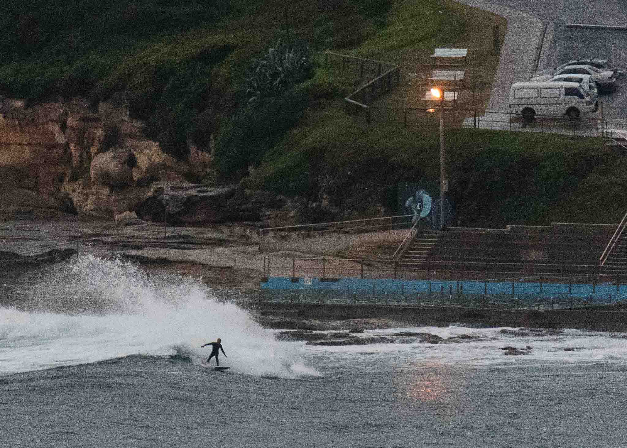
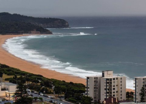
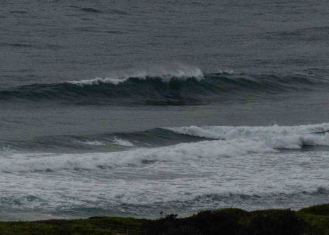
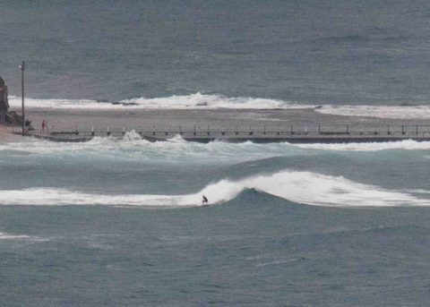
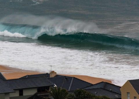
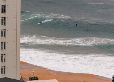
Wind was SW for the early session this morning. The showers were coming through frequently and the 0700 1.7 m high tide was taking a toll on the inconsistent 7-sec period 2 metre SSE wind swell. There were a few people in the water at Northy, at south Narrabeen and Dee Why. In all cases it seemed kind of setty, but wave faces were into the chest plus range and maybe bigger on the bombs.
The wind is set to swing around to the south to SE and push up into the 15-20 kt range. So, get in before it switches or contend with junky conditions.
Swell should stay at about the current intensity through tomorrow before fading out to marginal toward midweek.
Have a great Saturday everyone!

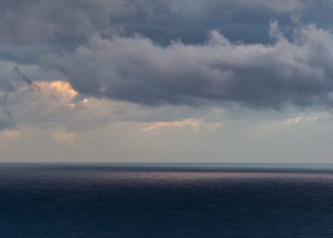
Weather Situation
A slow-moving high pressure system is centred over western Victoria, while a complex low moves across the Tasman Sea. This pattern is bringing fresh to strong southerly winds to most New South Wales waters today. The high will drift slowly east during the next few days, accompanied by a gradual easing of coastal winds. By Tuesday it is expected to be over the Tasman Sea, with most areas likely to see a shift to northerly winds through the second half of the week.
Forecast for Saturday until midnight
- Winds
- South to southeasterly 15 to 20 knots.
- Seas
- 1.5 to 2 metres, decreasing to 1 to 1.5 metres during the afternoon.
- Swell
- Southerly 1.5 metres, tending southeasterly 1.5 to 2 metres during the morning.
- Weather
- Partly cloudy. 80% chance of showers inshore, 50% chance elsewhere.
Sunday 29 April
- Winds
- Southerly 15 to 20 knots.
- Seas
- 1 to 1.5 metres.
- Swell
- Southeasterly 1.5 metres.
- Weather
- Partly cloudy. 70% chance of showers.
Monday 30 April
- Winds
- Southerly 15 to 20 knots.
- Seas
- 1 to 1.5 metres.
- Swell
- Southeasterly 1.5 to 2 metres.
- Weather
- Partly cloudy. 50% chance of showers.

