Hello Friends
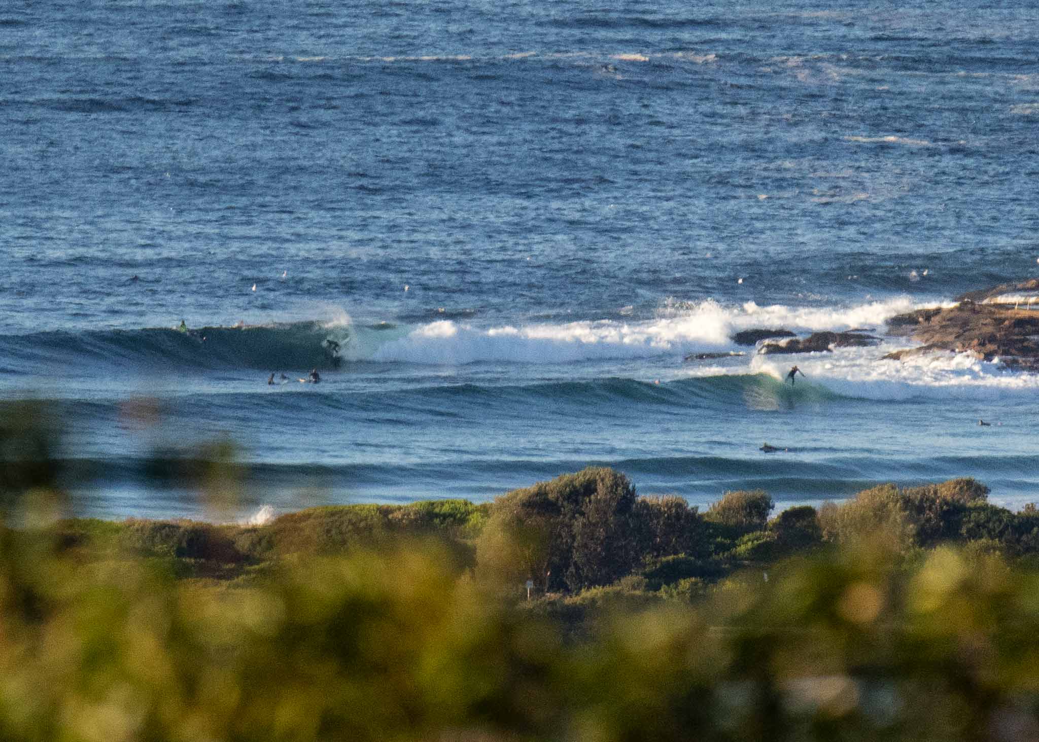
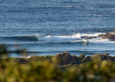
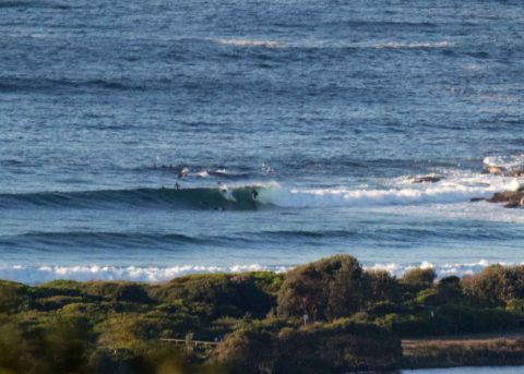
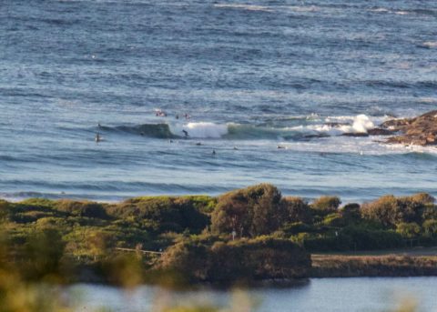
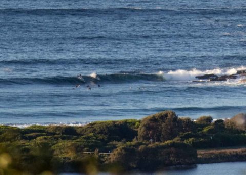
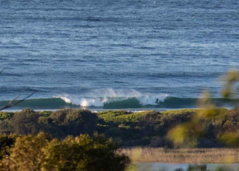
Light westerly wind early and the much anticipated swell has turned up. It popped up overnight and as of 0600 the MHL buoy was showing 2 metres of 9 sec SE swell. So, not as big, nor as long period as the models were projecting. It’s pretty much bigger and longer period at all the other wave rider buoys which are showing 12-13 seconds. So, maybe we’re just in a lull on that front… that said, as the pictures show there were head plus wave faces at the point and along the beach when I grabbed the snaps at 0730.
The Bureau has warned that deceptively powerful surf conditions will persist for the next three days. The more optimistic projections on the models show the solid size lasting through the weekend. It looks as though the wind setting will be best early. But nothing new there I guess.
Tide hits a 0.46 low at 0930. It’ll be back to a 1.46 m high at 1550.
Have a top old day and yes, I’m hoping to get a few more pictures to share, so check back later!
Weather Situation
A strong high pressure system over the Bight is maintaining a ridge to the east, while a series of fronts pass to the south of Australia. These fronts and low pressure systems have generated powerful southerly swells which are impacting the New South Wales coast today and the next few days. The high is expected to move over southeast Australia at the end of the week.
Forecast for Wednesday until midnight
- Winds
- Southerly 15 to 25 knots decreasing to 10 to 15 knots in the middle of the day then becoming variable about 10 knots in the afternoon.
- Seas
- 2 metres, decreasing to 1 to 1.5 metres during the morning, then decreasing below 1 metre during the afternoon.
- Swell
- Southerly 3 to 4 metres, decreasing to 3 metres later in the evening.
- Weather
- Partly cloudy.
- Caution
- Large and powerful surf conditions are expected to be hazardous for coastal activities such as crossing bars by boat and rock fishing.
Thursday 24 May
- Winds
- North to northwesterly about 10 knots becoming southerly 15 to 20 knots in the morning.
- Seas
- Below 1 metre, increasing to 1 to 1.5 metres around midday.
- Swell
- Southerly 2 to 3 metres.
- Weather
- Partly cloudy.
- Caution
- Large and powerful surf conditions are expected to be hazardous for coastal activities such as crossing bars by boat and rock fishing.
Friday 25 May
- Winds
- Southerly 15 to 20 knots becoming variable about 10 knots during the evening.
- Seas
- 1 to 1.5 metres, decreasing below 1 metre during the afternoon or evening.
- Swell
- Southerly 2 to 3 metres inshore, increasing to 2.5 to 4 metres offshore.
- Weather
- Partly cloudy.
- Caution
- Large and powerful surf conditions are expected to be hazardous for coastal activities such as crossing bars by boat and rock fishing.
,

