Hello Friends,
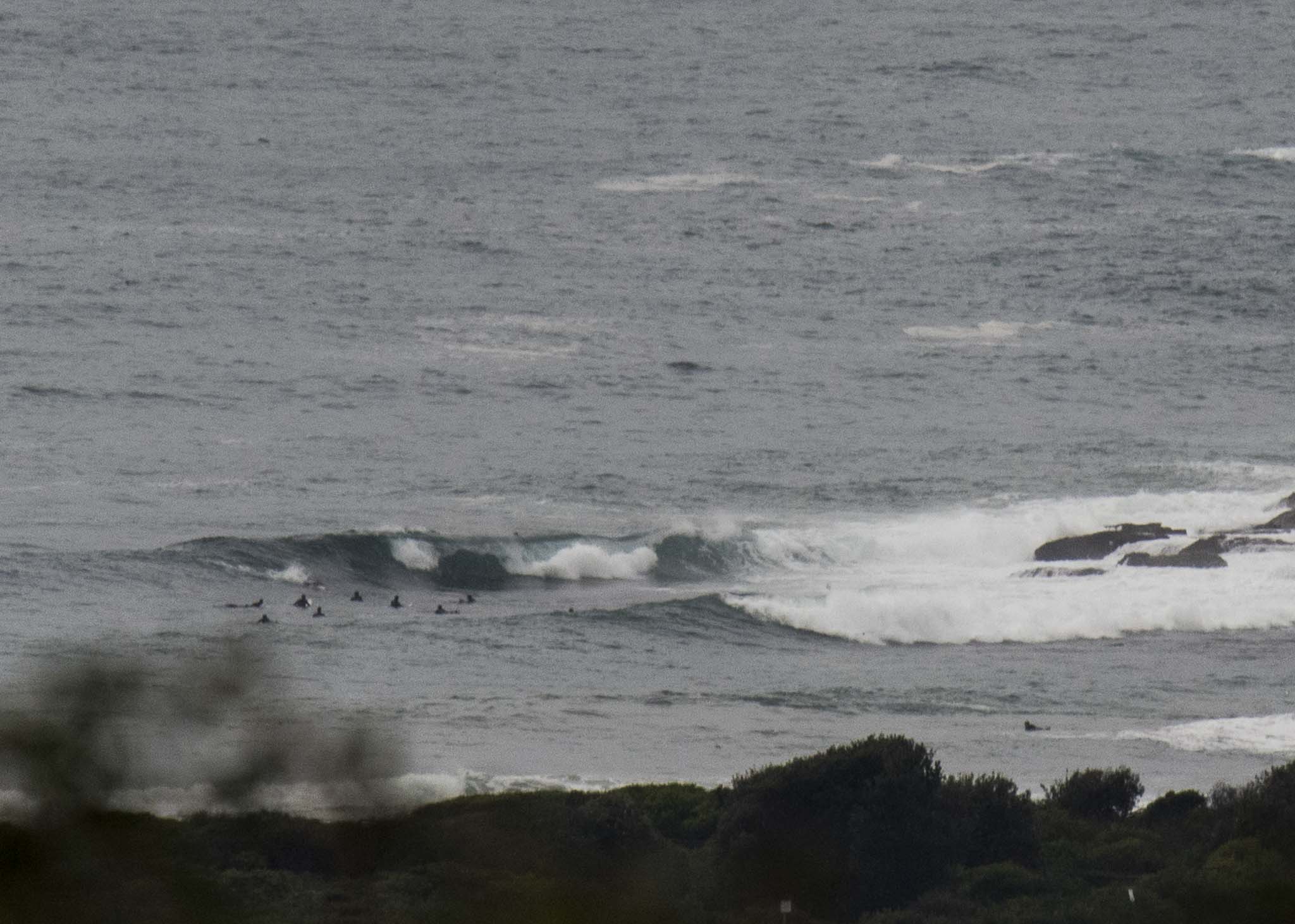
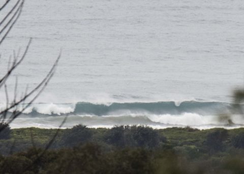
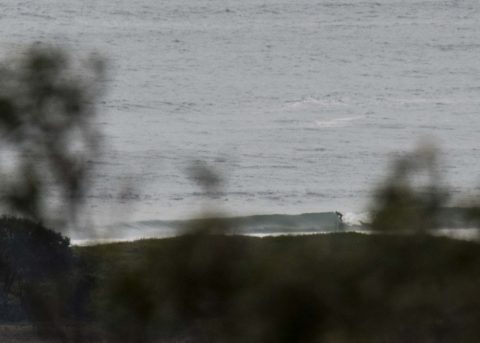
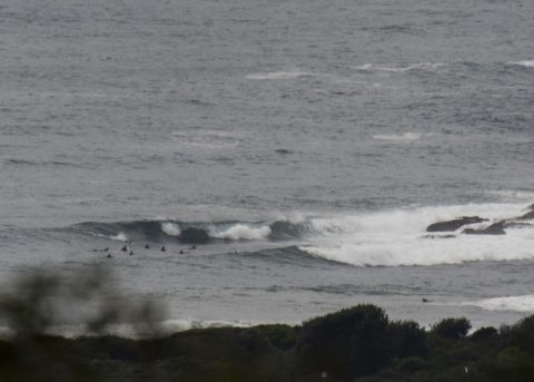
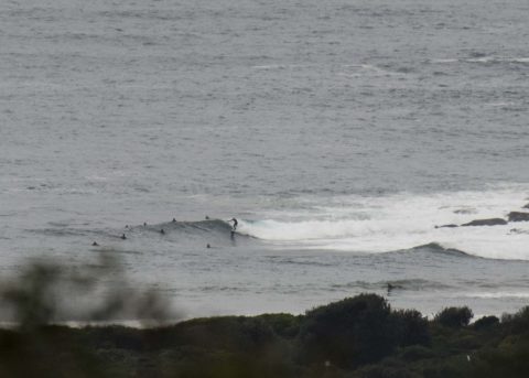
Gloomy grey skies and the odd shower as Thursday got underway along the beaches. Swell energy levels have cogged down significantly since yesterday, but conditions are generally much cleaner too. People at the point and along the beach were getting waist to maybe shoulder high set waves when I checked for the first time at 0745.
At report writing time the wind was 6-7 kts from the WSW. Tide was dropping to a 0.47 m low at 0900. The 1.5 m high happens at 1520. Beachwatch ways the water should be much better today.
MHL’s Sydney buoy was showing 2.3 metres of 10-sec SSE (156°) swell. Beachwatch says water temp is 19C.
Outlook you ask? Well the Goat’s your man!
Go well with your day and keep on smilin’!
Weather Situation
A high pressure system over the southwestern Tasman Sea with a ridge to the north is directing southwest to southeasterly winds along the New South Wales coast.
Forecast for Thursday until midnight
- Winds
- South to southeasterly 10 to 15 knots tending easterly about 10 knots in the afternoon then east to northeasterly in the evening.
- Seas
- Around 1 metre.
- Swell
- Southeasterly 2 metres.
- Weather
- Cloudy. 80% chance of showers.
Friday 22 June
- Winds
- Variable about 10 knots becoming northerly 10 to 15 knots in the evening.
- Seas
- Below 1 metre.
- Swell
- Southeasterly 1.5 metres inshore, increasing to 1.5 to 2 metres offshore.
- Weather
- Partly cloudy.
Saturday 23 June
- Winds
- Northwesterly 10 to 15 knots turning west to southwesterly below 10 knots during the morning then becoming south to southwesterly during the afternoon.
- Seas
- Below 1 metre.
- Swell
- Southeasterly 1 to 1.5 metres, tending easterly around 1 metre during the afternoon or evening.
- Weather
- Sunny.

