Hello Friends,
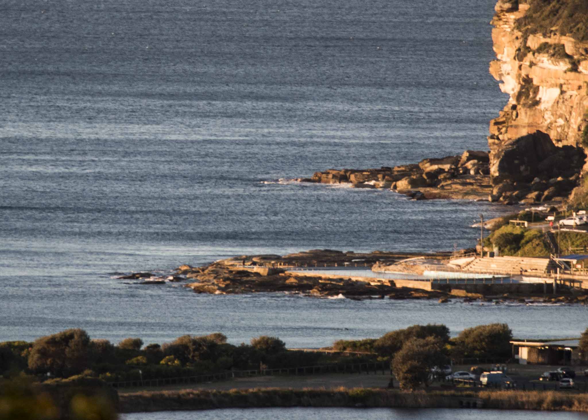
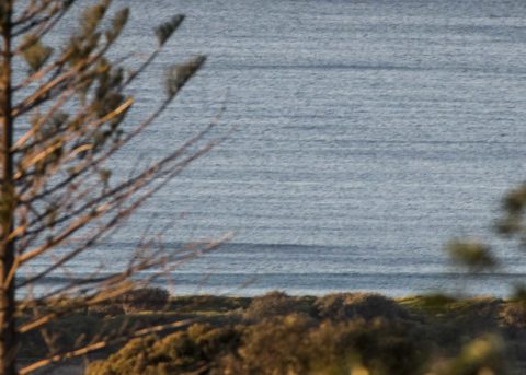
Not a skerrick, not a scrap, not a hope of a wave this morning at Dee Why. From the look of the MHL data for the NSW coast, it would seem that Sydney’s 0.75m of swell is bested in the flatness contest only by B Batemans Bay’s 0.5 m. Everywhere else is bigger and from around Coffs north, it actually looks quite interesting (2 m of ESE at 9 seconds).
Apart from the surf and a morning high tide, conditions would be perfect – if only we had swell.
The Bureau tells us we should have 1.5-2 metres of south swell, so the models predicting something arriving this afternoon may come to pass…
I’ll keep an eye on it and will update if there’s any significant change.
In the meantime, have a great day!

Weather Situation
Vigorous west to southwesterly winds are expected to slowly ease over the next few days as a high pressure system slowly moves across the state. The next cold front is forecast to slip across the south on Wednesday, turning winds northwesterly ahead of it.
Forecast for Monday until midnight
Strong Wind Warning for Monday for Sydney Coast
Winds
Southwesterly 20 to 25 knots, reaching up to 30 knots during the morning. Winds becoming variable about 10 knots in the late afternoon then becoming west to southwesterly 15 to 20 knots in the evening.
Seas
2 to 2.5 metres, decreasing to 1 to 1.5 metres during the afternoon.
Swell
Southerly 1.5 to 2 metres.
Weather
Sunny.
Tuesday 14 August
Winds
West to southwesterly 15 to 20 knots becoming variable about 10 knots in the middle of the day then becoming northerly 10 to 15 knots in the evening.
Seas
1 to 1.5 metres, decreasing below 1 metre around midday.
Swell
Southerly 1 to 1.5 metres inshore, increasing to 1.5 to 2 metres offshore.
Weather
Sunny.
Wednesday 15 August
Winds
Northwesterly 15 to 25 knots.
Seas
1 to 2 metres.
Swell
Southerly 1 to 1.5 metres.
Weather
Sunny.

