Hello Friends,
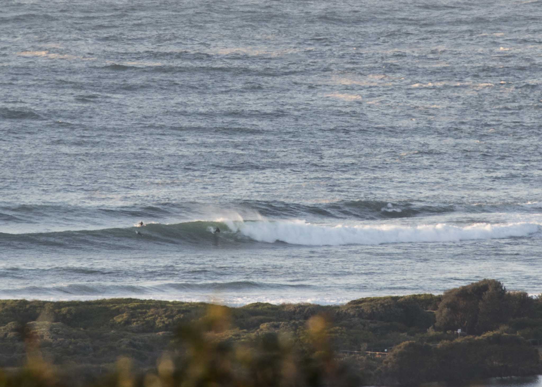
At 9pm last night the MHL buoy recorded peak swell heights of 5.2 metres at 14 seconds from 158°. As of 0500 it was a mere 3.9 m at 13 sec from 156°. When I grabbed the pics, t.he point looked to be well overhead and it looked too big for the beach. The Bureau’s raised the large and powerful surf warning so it obviously isn’t a day for anybody but the most experienced and fit riders.
Wind was 7-9 kts from the WNW at report writing time. It should go more to the SW this morning and get up to 15-20 kts before fading back to light onshores. Swell is expected to gradually decrease over the next 24 hours.
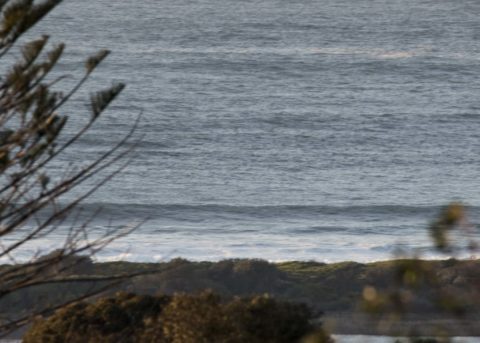
Tomorrow morning could see NE wind and waist to chest sets.
Next tide is a 1.48 m high at 1035 and the 0.46 m low will be along at 1630.
The Goat is somewhere on the other side of the world, so my reading of the outlook for next week appears to be more or less continuous onshores (but lighter in the morning) with wave heights in the waist to waist plus range.
Have a great day everyone!

Weather Situation
A high pressure system lies over New South Wales, while a deep low is moving across the Tasman Sea. This pattern is bringing southerly winds and a large swell to most coastal areas. Conditions are expected to ease as the high moves over the Tasman Sea later today, with winds shifting northerly behind it and strengthening on Friday as the next cold front approaches. This front looks set to bring a gusty westerly change late Friday or Saturday, shifting southerly on the weekend as a new high develops to the west.
Forecast for Thursday until midnight
- Winds
- Southwesterly 15 to 20 knots becoming variable about 10 knots in the afternoon then tending northeasterly in the evening.
- Seas
- 1 to 2 metres, decreasing below 1 metre during the afternoon.
- Swell
- South to southeasterly 2.5 to 3 metres.
- Weather
- Mostly sunny.
- Caution
- Large and powerful surf conditions are expected to be hazardous for coastal activities such as crossing bars by boat and rock fishing.
Friday 31 August
Strong Wind Warning for Friday for Sydney Coast
- Winds
- North to northeasterly 15 to 25 knots becoming northerly 20 to 30 knots in the morning then tending northwesterly 15 to 25 knots in the late afternoon.
- Seas
- Below 1 metre, increasing to 1.5 to 2.5 metres during the morning.
- 1st Swell
- South to southeasterly 1.5 to 2 metres, decreasing to 1 to 1.5 metres in the middle of the day.
- 2nd Swell
- Northeasterly around 1 metre.
- Weather
- Cloudy. 50% chance of showers from the late morning.
Saturday 1 September
- Winds
- Westerly 15 to 20 knots turning southwesterly 20 to 25 knots during the evening.
- Seas
- 1 to 2 metres.
- Swell
- Northeasterly 1 to 1.5 metres, decreasing to around 1 metre during the morning.
- Weather
- Mostly sunny.

