Hello Friends,
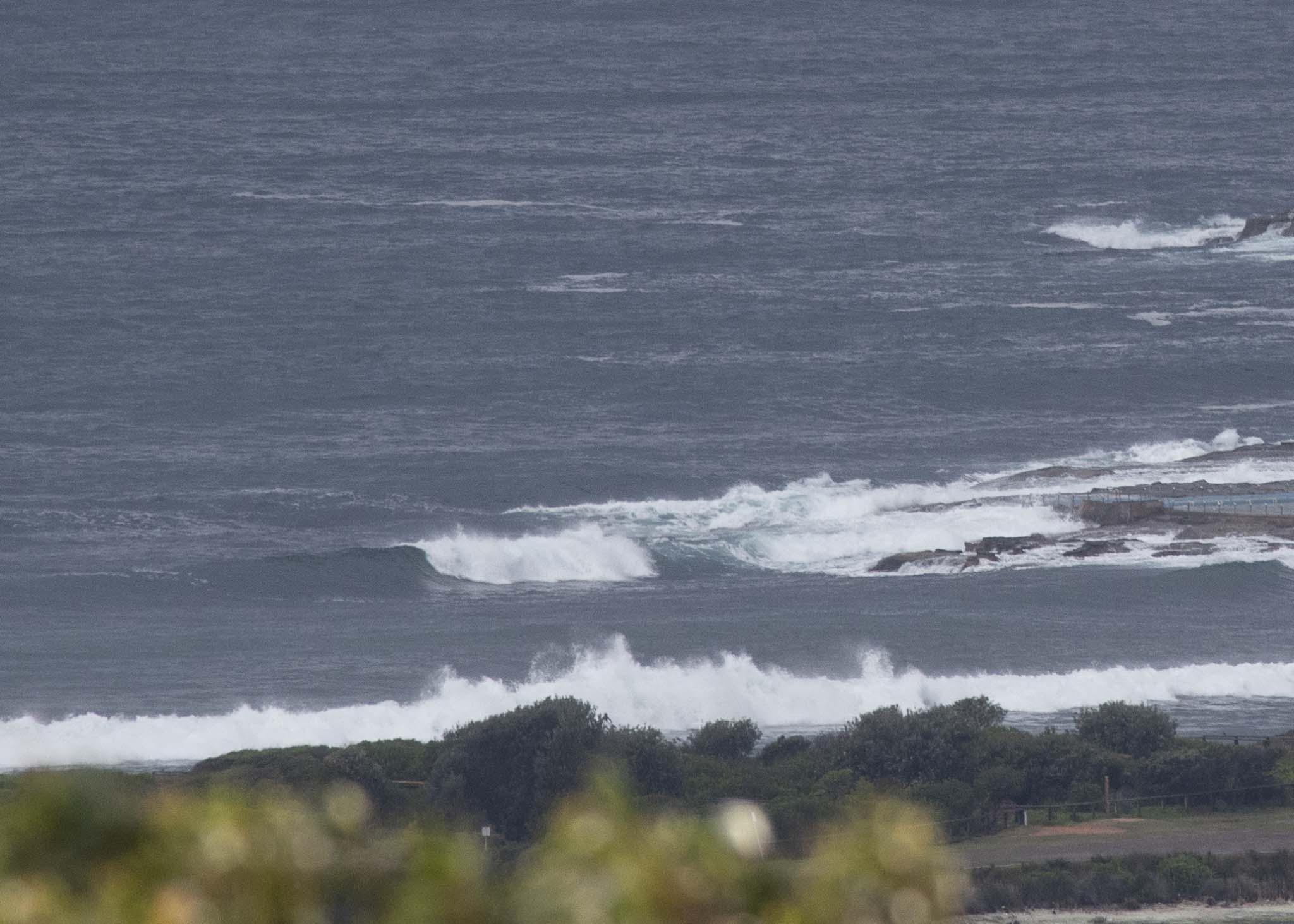
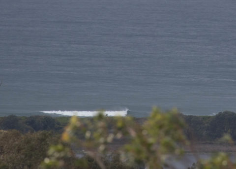
12-15 kts of SW wind at 0800 made for clean looking surface conditions at Dee Why. Another area of showers was sweeping in from the south as I grabbed the pictures. As of 0500 the 2 metre swell was coming from the SSE (148-152°) at 7 seconds apart.
The call is for the swell to drop toward the middle part of the day, when the wind is predicted to swing to the SE. From the shape of the swell prediction models, we can expect the current waist to chest size to be more in the knee to waist high range tomorrow and Wednesday.
That big south pulse for Thursday to Sunday is still showing on the models. Unfortunately they’re also continuing to predict heaps of south wind while the swell is peaking at close to 3 m between late Weds and Friday. With luck the surf won’t fade completely once the wind becomes less annoying around Sunday.
Have a top old Monday everyone!

Weather Situation
A near-stationary trough lies across the north coast and extends southward offshore, with a low pressure circulation off the central coast. This has recently generated vigorous south to southeasterly winds on its southern flank, while southwest to northwesterly winds lie to its north. The low is is expected to affect central coastal areas during today while gradually weakening. Winds will tend back to the north ahead of a cold front which is expected to move along the south coast on Tuesday and reach the north coast on Wednesday, bringing a vigorous southerly change.
Forecast for Monday until midnight
- Winds
- Southeast to southwesterly 15 to 20 knots, reaching up to 25 knots offshore early in the morning. Winds tending northeast to southeasterly in the middle of the day then tending southeast to southwesterly in the early afternoon.
- Seas
- 1 to 2 metres.
- Swell
- Easterly 1 to 1.5 metres, decreasing to around 1 metre around midday, then increasing to 1 to 1.5 metres by early evening.
- Weather
- Cloudy. Near 100% chance of showers. The chance of a thunderstorm offshore.
Tuesday 9 October
- Winds
- Westerly 10 to 15 knots shifting north to northeasterly below 10 knots in the morning then shifting south to southwesterly 10 to 15 knots in the late evening.
- Seas
- Around 1 metre.
- Swell
- Easterly 1 to 1.5 metres, decreasing to around 1 metre during the morning.
- Weather
- Partly cloudy. 60% chance of showers in the evening.
Wednesday 10 October
- Winds
- Southwesterly 10 to 15 knots turning southerly 20 to 30 knots during the morning.
- Seas
- Around 1 metre, increasing to 2 to 3 metres during the morning.
- 1st Swell
- Southerly below 1 metre, increasing to 2 to 3 metres during the morning.
- 2nd Swell
- Easterly around 1 metre, increasing to 1.5 metres during the evening.
- Weather
- Cloudy. 70% chance of showers.

