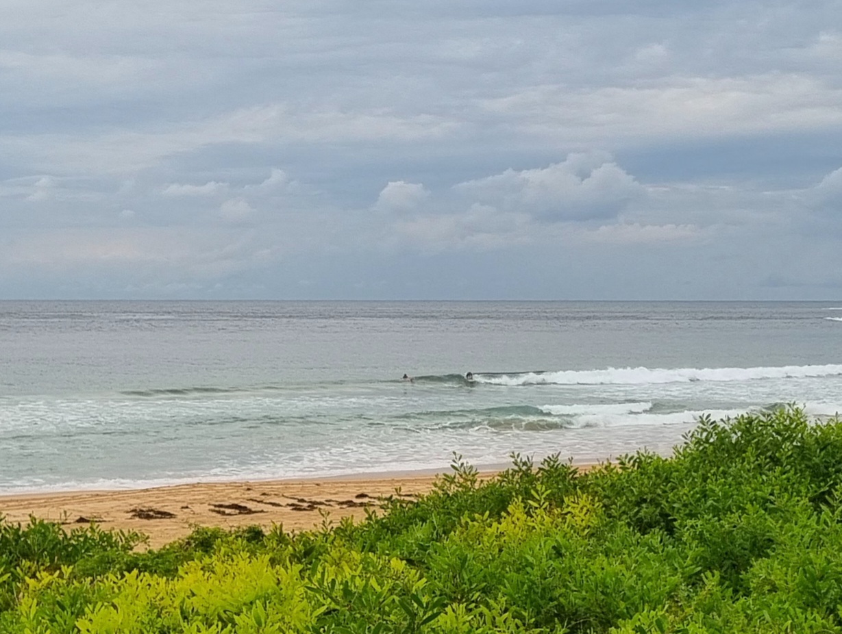
The Goat’s First Surf Forecast for 2019:
22nd year of TG’s Forecasts:
Seven day outlook for Sydney:
Some variations in wind direction ahead for the coming week to give you a little variety, and hopefully some small to medium rideable waves.
But this arvo, (an Aussie word whose meaning is unknown to all those foreign visitors, so use it at will just to confuse ’em), a gentle onshore breeze, warm sun and background music of cicadas provided the perfect opportunity to kick back in the shade, chill out and recuperate from days of surfing or paddling, and nights of refreshments and socialising.
It’s been congested in the ocean – one more area to add to the list – but hey kids, I think I just heard mum say you should take a few days off out of the sun now.
I will give those thousands of visitors a helpful tip (as apparently they aren’t aware)…
Barrenjoey Road to Palm Beach is a Dead End Road. It’s not a Through Road… It’s a Cul de Sac.
And there’s nowhere for thousands of visitors to park… anywhere..
Just so you know why you’ve been stopped or crawling in traffic from Mona Vale.
A Community Service Announcement by TG.
Water temp has been bouncing around from nice to freezing with consistent Noreasters dragging cold water up, to ? It should improve when the next southerly comes by.
Waves:
Friday: somewhere in the 1-2 metre range North East.. biggest at southern ends of beaches
Saturday: ditto
Sunday: ditto
Monday: around 1 metre or so Eastish
Tuesday: ditto to that
Wednesday: around 1 – 1+metres North East
Thursday: in the 1-2 metre range North East/ South East
Hope 2019 is good to us all!
TG.
Up in the Sky


Winds
https://www.windy.com/-33.855/151.216?-34.881,151.216,7,i:pressure,m:cIJaknc
Down in the Sea
Water temp offshore is around 22. Variable inshore.

Tide
https://www.rms.nsw.gov.au/documents/maritime/usingwaterways/tides-weather/tide-tables-2018-2019.pdf
Weather from the Bureau
Forecast for the rest of Thursday
- Summary

- Max 28
- Partly cloudy.
- Chance of any rain: 5%

Sydney area
Partly cloudy. Slight (30%) chance of a shower in the outer west, most likely in the afternoon and early evening. Near zero chance of rain elsewhere. Winds south to southwesterly 15 to 20 km/h becoming light in the middle of the day then becoming east to northeasterly 15 to 25 km/h in the late afternoon.
Fire Danger – High
Sun protection recommended from 8:30 am to 5:20 pm, UV Index predicted to reach 13 [Extreme]
7 day Town Forecasts
| Precis Icon | Location | Min | Max |
|---|---|---|---|
| Sydney | – | 28 | |
| Penrith | – | 34 | |
| Liverpool | – | 32 | |
| Terrey Hills | – | 28 | |
| Richmond | – | 33 | |
| Parramatta | – | 31 | |
| Campbelltown | – | 31 | |
| Bondi | – | 25 |
Friday 4 January
- Summary

- Min 22
- Max 31
- Mostly sunny.
- Chance of any rain: 10%

Sydney area
Mostly sunny. Winds north to northeasterly 15 to 20 km/h tending east to northeasterly 20 to 30 km/h in the middle of the day then becoming light in the late evening.
Sun protection recommended from 8:30 am to 5:20 pm, UV Index predicted to reach 14 [Extreme]
Saturday 5 January
- Summary

- Min 23
- Max 33
- Possible shower.
- Possible rainfall: 0 to 1 mm
- Chance of any rain: 40%

Sydney area
Hot. Mostly sunny morning. Medium (40%) chance of showers, most likely in the afternoon and evening. The chance of a thunderstorm in the afternoon. Winds northwest to northeasterly 15 to 25 km/h tending west to northwesterly during the day then shifting south to southeasterly 15 to 20 km/h during the afternoon.
Sun protection recommended from 8:30 am to 5:20 pm, UV Index predicted to reach 13 [Extreme]
Sunday 6 January
- Summary

- Min 21
- Max 25
- Shower or two.
- Possible rainfall: 0 to 1 mm
- Chance of any rain: 50%

Sydney area
Partly cloudy. Medium (50%) chance of showers. The chance of a thunderstorm in the morning and afternoon. Winds south to southeasterly 25 to 40 km/h.
Sun protection recommended from 8:40 am to 5:20 pm, UV Index predicted to reach 13 [Extreme]
Monday 7 January
- Summary

- Min 20
- Max 25
- Shower or two.
- Possible rainfall: 0 to 2 mm
- Chance of any rain: 50%

Sydney area
Partly cloudy. Medium (50%) chance of showers. Winds southerly 15 to 20 km/h tending southeasterly during the morning.
Tuesday 8 January
- Summary

- Min 21
- Max 28
- Morning shower or two.
- Possible rainfall: 0 to 2 mm
- Chance of any rain: 50%

Sydney area
Partly cloudy. Medium (50%) chance of showers, most likely during the morning. The chance of a thunderstorm. Light winds becoming northeasterly 15 to 25 km/h during the day.
Wednesday 9 January
- Summary

- Min 22
- Max 29
- Possible shower.
- Possible rainfall: 0 to 2 mm
- Chance of any rain: 40%

Sydney area
Partly cloudy. Medium (50%) chance of showers. The chance of a thunderstorm. Light winds becoming south to southeasterly 15 to 25 km/h during the morning.

