Hello Friends,
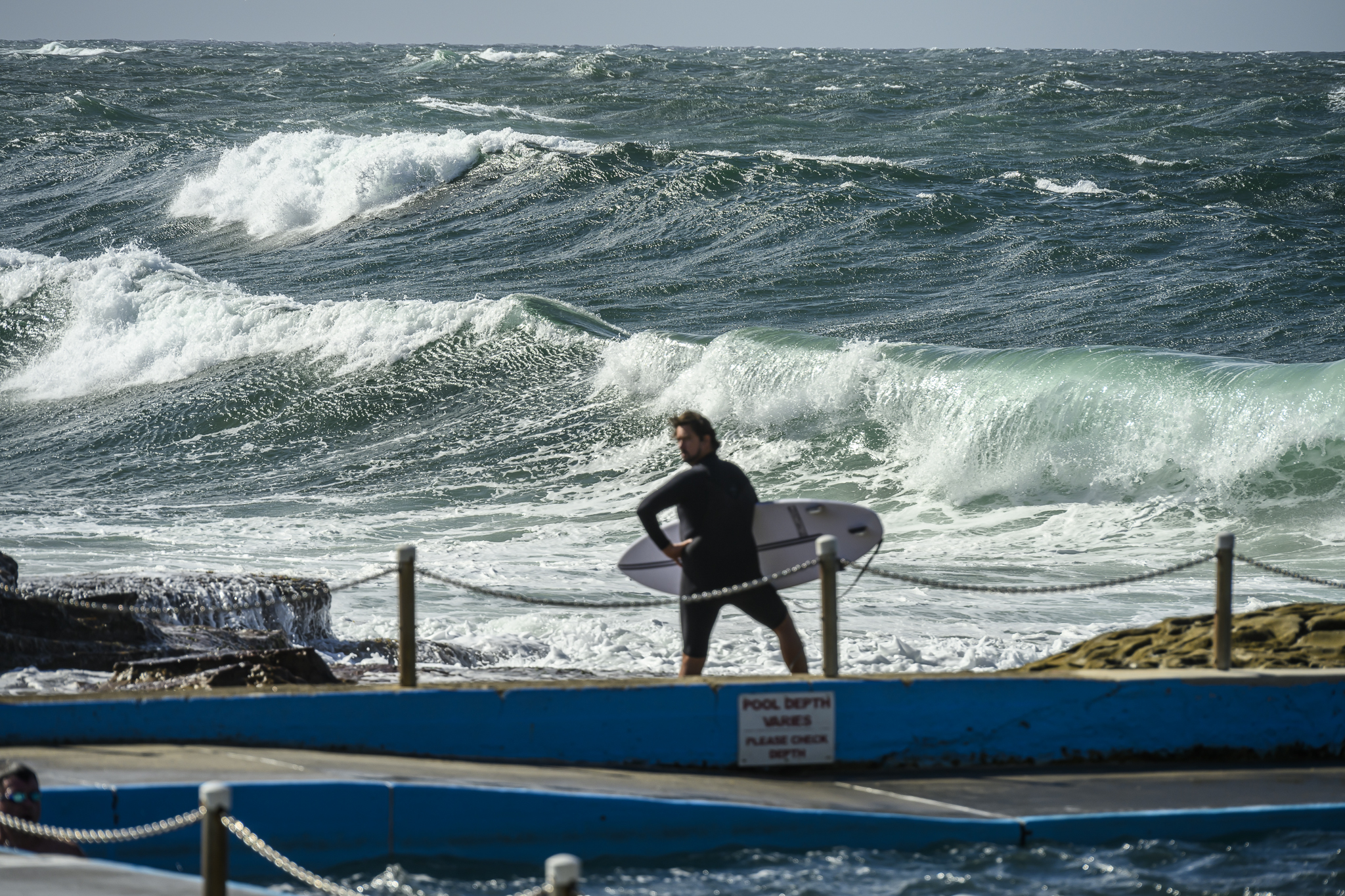
Light NE breeze as of 0700 in Sydney this Monday morning. The latest MHL data shows 1.4 metres of east swell at just under 10 seconds apart. Looking at various cams around Sydney this morning reveals that those numbers are translating into smoothish, but weak and lumpy little knee to waist high plus waves around the place. Stretches best aligned to the swell direction are seeing the occasional chest high face on take off. Not the greatest conditions, but you could get wet.
Tide is coming into a 1.5 metre high at 1030 this morning. Should be a mostly fine day with a high of 26. According to Beachwatch, the current water temp is a pleasant 21C.
Tomorrow should be showery with more of the current marginal bump. The just-surfable conditions should persist through the middle of the week, but the trend is gradually downward. The latest long range projections show it staying small through into next week.
In grey Gippsland this morning, about to roll east toward the coast, leaving Vicco behind. Just checked the situation at Bells and it seems there’s just enough swell for them to start throwing some heats in the water. Judging from the cams along that coast, it’s in the waist plus range, a bit sideshore and bumpy. Latest swell forecast is showing some hope for a bit more size in the Torquay surf zone late in the week.
Hope to have a postcard to share later today… so check back later and have a top old Monday!
Weather Situation
A high pressure system over the Tasman Sea is maintaining a ridge towards northeast New South Wales, and directing east to northeasterly winds over most coastal areas. Meanwhile, a low pressure trough is moving into the state’s west, associated with a cold front passing to the south. This trough will bring a southerly change to southern parts of the coast today, continuing through to central waters on Tuesday before stalling and decaying. Following this, the Tasman high is expected to have a brief return to dominance, before another trough and southerly change in the second half of the week.
Forecast for Monday until midnight
- Winds
- North to northeasterly 10 to 15 knots.
- Seas
- 1 to 1.5 metres, decreasing to 1 metre during the morning.
- Swell
- Easterly around 1 metre.
- Weather
- Partly cloudy. The chance of a thunderstorm late this evening.
Tuesday 23 April
- Winds
- Northeasterly 10 to 15 knots. Winds inshore may briefly turn southerly about 10 knots during the morning hours.
- Seas
- Around 1 metre.
- Swell
- Northeasterly around 1 metre inshore, increasing to 1 to 1.5 metres offshore.
- Weather
- Partly cloudy. 60% chance of showers. The chance of a thunderstorm in the morning.
Wednesday 24 April
- Winds
- East to northeasterly about 10 knots tending north to northeasterly 10 to 15 knots during the afternoon.
- Seas
- Below 1 metre.
- Swell
- Northeasterly around 1 metre.
- Weather
- Partly cloudy. The chance of a thunderstorm


