
Hello Friends,
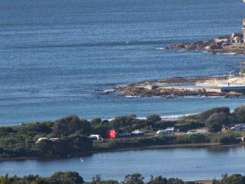
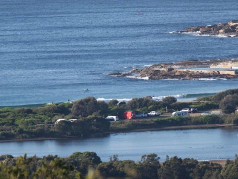
From nearly 3 metres yesterday morning to 1.3 metres for Sunday’s early session saw wave faces back in the knee to maybe waist high range at Dee Why. Swell was close to 11 seconds apart, but dead south and not very consistent. A couple of bods in the water at the point when I checked for the first time around 0800, but they didn’t catch anything and along the beach it didn’t look much more promising. Wind was 8-10 kts from the west. Tide is currently heading toward the low at 1000. It’ll be back to a 1.28 high at 1630. Beachwatch says water quality’s good and temp is sitting on 22C.
Outlook is for it to stay really small today, but it might bump up a little tomorrow – when your correspondent will be on surfari and heading up the coast. Expect more postcards!
Weather Situation
A high pressure system near Adelaide is extending a ridge into the state from the west. This high will drift across southeast Australia today before reaching the Tasman Sea on Monday, where it will remain slow moving for most of the week, directing north to northeasterly winds over the Waters from Tuesday onwards.
Forecast for Sunday until midnight
- Winds
- Northwest to southwesterly 10 to 15 knots tending south to southwesterly in the middle of the day then tending south to southeasterly in the late afternoon.
- Seas
- Around 1 metre.
- Swell
- Southerly 1.5 to 2 metres.
- Weather
- Sunny.
Monday 29 April
- Winds
- Southerly 10 to 15 knots turning east to southeasterly below 10 knots in the late afternoon.
- Seas
- Around 1 metre.
- Swell
- Southerly 2 to 3 metres.
- Weather
- Partly cloudy.
Tuesday 30 April
- Winds
- North to northeasterly 15 to 20 knots increasing to 20 to 25 knots during the evening.
- Seas
- Around 1 metre, increasing to 1.5 to 2 metres during the afternoon or evening.
- Swell
- Southerly 1.5 to 2 metres, decreasing to 1 to 1.5 metres during the morning.
- Weather
- Mostly sunny.

