Hello Friends,
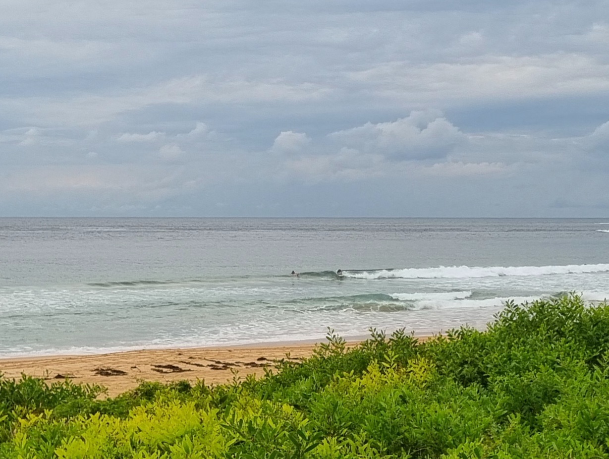
Swell down to a metre from more or less the same SSE direction as yesterday. Sets look to be in the knee to waist range at best exposures. Tide was a swampy 1.7m high at 0400 and is now running out to a 0.4 m low at 1040. Wind was a light W-WNW at daybreak but it’s set to swing to the south by lunch. Looks like the early is/was the best shot.
No joy for us on the long range swell models this morning. Both the Wavewatch and ECM predictions are looking like flat to near flat from now until late in the month – at least. My favourite time of year and the swell machine has been switched off. Hope the models are wildly underestimating things, but it looks like the nearest waves will be down in western Vicco or across the ditch on NZ’s west coast.
(Making the airport run to send my mate back to California, so may try to post a picture later on the way back…)
Weather Situation
A high pressure system over the Tasman Sea will contract east and weaken as a southerly change moves across the coast today in association with a cold front that slips to the south. This change will be followed by another high pressure system from the west, with generally stable conditions expected for the remainder of the week as the high becomes the dominant feature over New South Wales.
Forecast for Tuesday until midnight
- Winds
- Northwesterly 10 to 15 knots shifting southerly in the late morning.
- Seas
- Around 1 metre.
- Swell
- South to southeasterly below 1 metre.
- Weather
- Mostly sunny.
Wednesday 15 May
- Winds
- South to southeasterly about 10 knots.
- Seas
- Below 1 metre.
- Swell
- Southerly around 1 metre.
- Weather
- Partly cloudy.
Thursday 16 May
- Winds
- East to southeasterly about 10 knots becoming northeasterly during the afternoon.
- Seas
- Below 1 metre.
- Swell
- Southerly around 1 metre inshore, increasing to 1 to 1.5 metres offshore.
- Weather
- Partly cloudy. 50% chance of showers.

