Hello Friends,
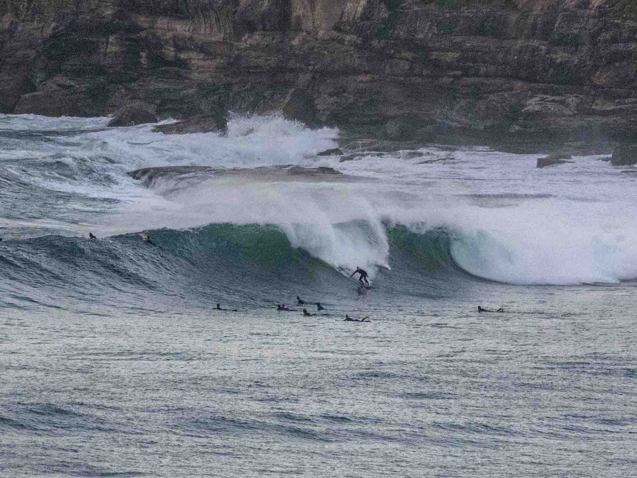
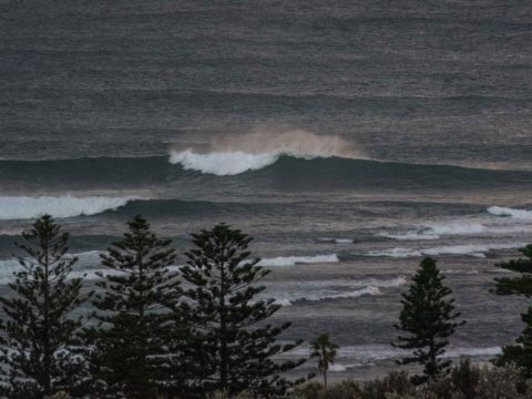
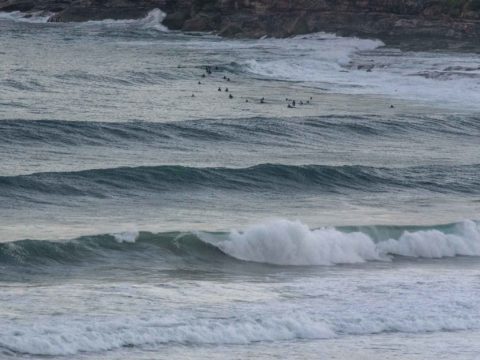
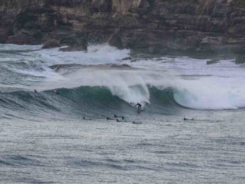
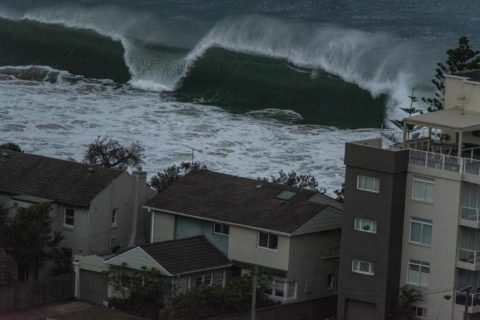
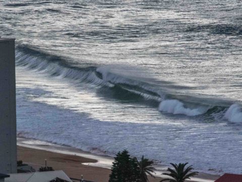
Overcast skies with showers offshore and 8-9 kts of cold westerly wind greeted early risers Saturday morning. Swell ramped up fairly dramatically late yesterday afternoon into the 4.5 metre range. This morning at 0500 the MHL buoy was seeing 4.5 metres from the S-SE at close to 13 seconds apart.The peak energy was coming from 150°.
The biggest sets I saw this morning were at the point where set wave faces were into the 2x overhead range. It looks pretty damn consistent too, so you better be fit and confident if you’re getting in. The beaches are maxed out, so it’s points and reefs only.
First tide of the day was a 1.5 metre high at 0630. It’ll be back to low at 1230. Water temps are just starting to drop, but according to Beachwatch it was still 21C as of Friday morning.
Outlook is for this morning to be the peak intensity, then we should see a gradual fade toward the two metre mark by Monday before a second, more intense pulse fills in on Tuesday. It could be very windy and extremely challenging if the projected peak size of 7 metres of dead south swell does in fact happen.
I’ll see if I can grab a few snaps of the action, so check back later…
Weather Situation
Southerly winds are expected to ease and become more light and variable during the weekend as a high pressure system near the Great Australian Bight extends a ridge eastwards over New South Wales. Strong to gale force south to southwest winds will then develop on Monday as a low pressure system deepens over the western Tasman Sea.
Forecast for Saturday until midnight
- Winds
- Southerly 15 to 20 knots turning southeasterly 10 to 15 knots in the late morning and afternoon.
- Seas
- 1 to 2 metres.
- Swell
- Southerly 2.5 to 3 metres.
- Weather
- Partly cloudy. 90% chance of showers.
- Caution
- Large and powerful surf conditions are expected to be hazardous for coastal activities such as crossing bars by boat and rock fishing.
Sunday 2 June
- Winds
- South to southeasterly 10 to 15 knots shifting north to northwesterly in the evening.
- Seas
- Around 1 metre.
- Swell
- Southerly 2 to 2.5 metres.
- Weather
- Cloudy. 90% chance of showers.
Monday 3 June
- Winds
- Northwesterly 10 to 15 knots turning west to southwesterly 25 to 40 knots during the morning.
- Seas
- 1 to 1.5 metres, increasing to 2 to 4 metres during the morning.
- Swell
- Southerly 2 metres, decreasing to 1 to 1.5 metres during the morning.
- Weather
- Partly cloudy. 80% chance of showers. The chance of a thunderstorm

