Hello Friends,
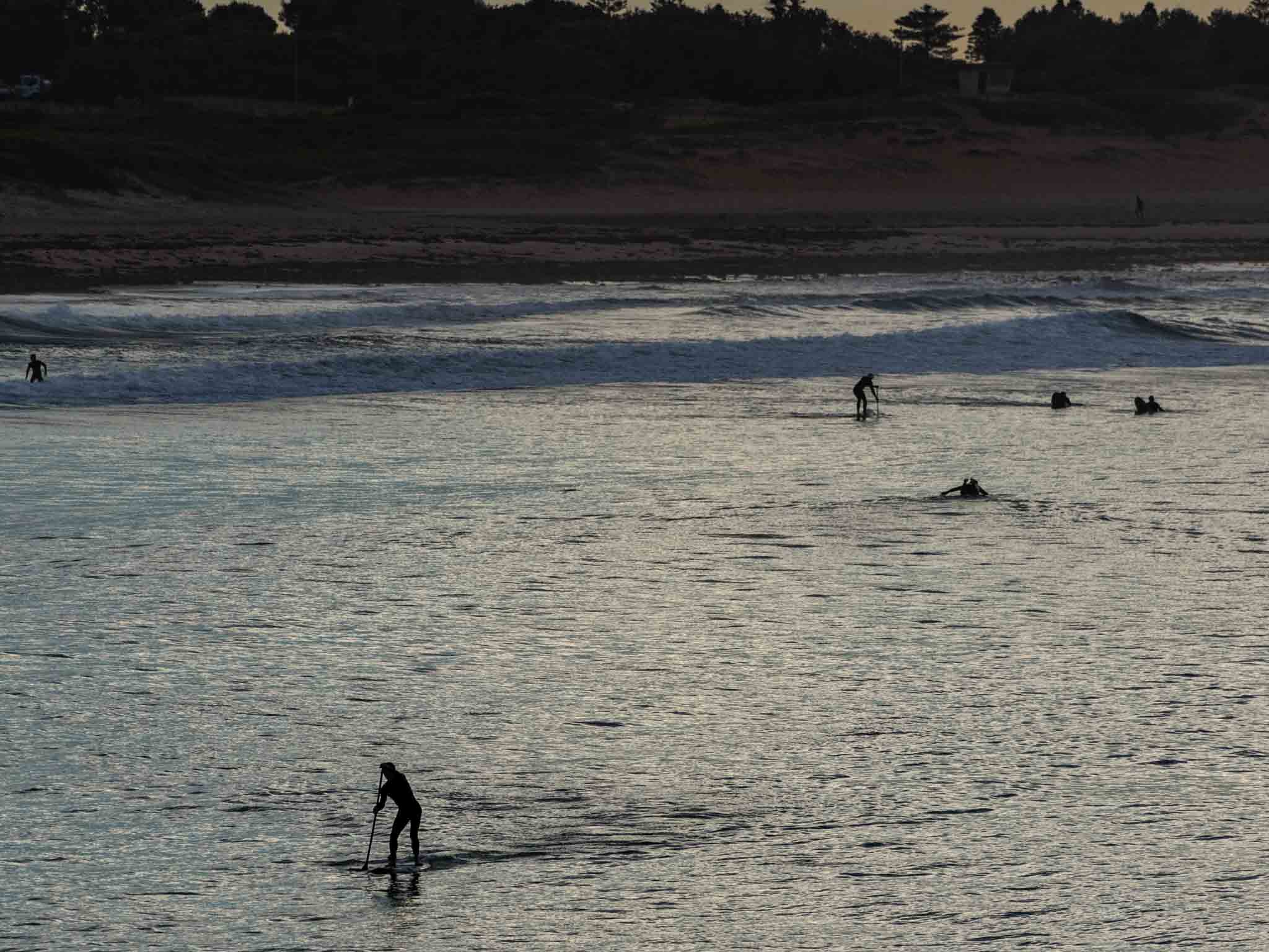
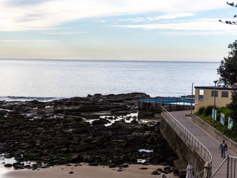
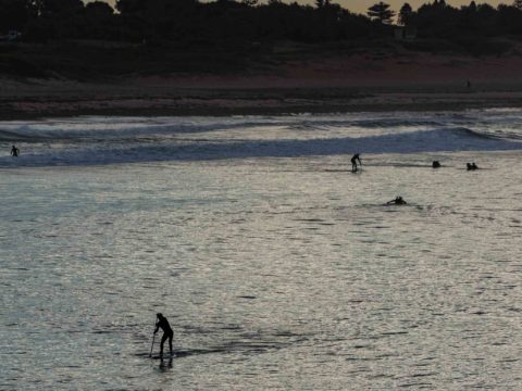
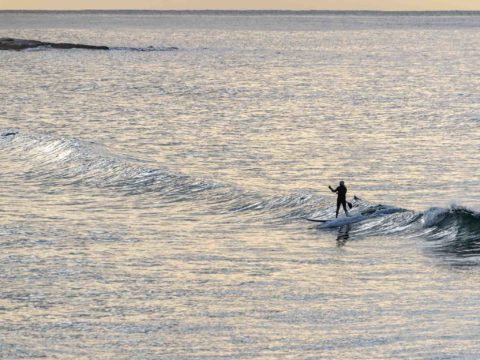
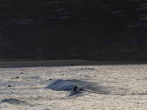
Happened to make a run to Manly this morning, so grabbed a few piccies along the way. As you can see, everywhere is microscopic. If you had a SUP, it was possible to find the occasional ankle to knee high bump every now and again. Not exactly surfing as most of us would understand it, but it’s still exercise. Water is still 22C and air’s the same.
Outlook remains pretty ordinary. The models are still saying you can only expect near flat conditions at best for the next week. And it looks like I’m not going to find better conditions when I get to California day after tomorrow.
Have a top Wednesday everybody!
Weather Situation
A high pressure system over the northeast of New South Wales will slowly drift east over the coming days while a cold front approaches from the west. These systems will maintain north to northwesterly winds along most of the coast today, with winds shifting southwesterly during Thursday and Friday with the passage of the front. Winds will tend light and variable over the weekend under the influence of a new high pressure system.
Forecast for Wednesday until midnight
- Winds
- Northerly 10 to 15 knots, reaching up to 20 knots offshore in the evening. Winds tending northwesterly in the late evening.
- Seas
- Around 1 metre, increasing to 1 to 1.5 metres offshore around midday.
- Swell
- Southerly around 1 metre.
- Weather
- Partly cloudy.
Thursday 13 June
- Winds
- Northwesterly 15 to 20 knots turning west to southwesterly 15 to 25 knots during the afternoon and evening.
- Seas
- 1 to 2 metres.
- Swell
- Southerly below 1 metre.
- Weather
- Cloudy. 60% chance of rain.
Friday 14 June
- Winds
- Southwesterly 15 to 20 knots decreasing to about 10 knots during the day.
- Seas
- 1 to 2 metres, decreasing below 1 metre during the morning.
- Swell
- Southerly below 1 metre.
- Weather
- Mostly sunny.

