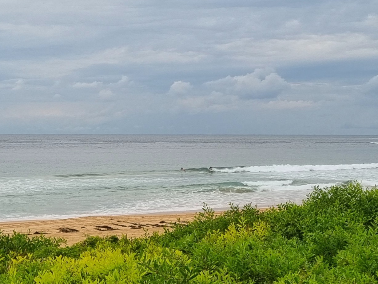
The Goat’s Surf Forecast
Surf forecast issued Thursday 20 June 2019: Seven day outlook for Sydney:
Lumpy, bumpy, windblown waves and cold air do not make me want to go for a surf… So this week I haven’t. Yes there were times when the waves looked ok if you were young and fit, or silly, and the water temp is still ok (for the moment), but ’twas not for me. So I did other things.
This week I’ll be doing more ‘other things’ and you might want to do that on several days too (unless you’re a Hell Man), with colder air, bigger waves (at South spots) and wind to go with them… but conditions might get a little more civilised at some places later in the week>>>
Friday:: around 2 ish metres at places open to dead South swell; some smaller waves might possibly get into protected corners, maybe
Saturday: up a bit say in the 2-3 metre range dead South; some smaller waves might get into protected corners
Sunday: ditto and should get into protected corners
Monday: ditto, and ditto for sets
Tuesday: around say 2 metres at dead South places, some into corners
Wednesday: easing back into the 1-2 metre range at places open to dead South; some little ones might get around the corner
Thursday: around 1 metre or so South East
Friday: ditto East South East.
Stay warm, stay cool, stay safe.
TG
Up in the Air


Winds
https://www.windy.com/-33.855/151.216?-34.373,151.216,8
Down in the Sea
Water temp is currently just under 21 but it should start to get cooler soon by the looks of this>>>

Tides
https://www.rms.nsw.gov.au/documents/maritime/usingwaterways/tides-weather/tide-tables-2018-2019.pdf
Weather from the Bureau:
Forecast for the rest of Thursday
- Summary

- Max 17
- Possible late shower.
- Possible rainfall: 0 to 2 mm
- Chance of any rain: 40%

Sydney area
Mostly sunny morning. Cloud increasing in the afternoon. Partly cloudy. Medium chance (40%) of a late afternoon or evening shower in the east, slight (20%) chance in the west. Light winds.
Sun protection not recommended, UV Index predicted to reach 2 [Low]
7 day Town Forecasts
| Precis Icon | Location | Min | Max |
|---|---|---|---|
| Sydney | – | 17 | |
| Penrith | – | 16 | |
| Liverpool | – | 16 | |
| Terrey Hills | – | 15 | |
| Richmond | – | 16 | |
| Parramatta | – | 16 | |
| Campbelltown | – | 16 | |
| Bondi | – | 16 |
Friday 21 June
- Summary

- Min 7
- Max 16
- Mostly sunny.
- Chance of any rain: 10%

Sydney area
Mostly sunny. Winds southwesterly 15 to 25 km/h.
Sun protection not recommended, UV Index predicted to reach 2 [Low]
Saturday 22 June
- Summary

- Min 9
- Max 17
- Showers.
- Possible rainfall: 4 to 10 mm
- Chance of any rain: 80%

Sydney area
Partly cloudy. High (80%) chance of showers along the coastal fringe, medium (40%) chance elsewhere. Winds southwesterly 15 to 25 km/h.
Sun protection not recommended, UV Index predicted to reach 2 [Low]
Sunday 23 June
- Summary

- Min 9
- Max 16
- Showers.
- Possible rainfall: 10 to 20 mm
- Chance of any rain: 90%

Sydney area
Cloudy. High (70%) chance of showers, most likely in the afternoon and evening. The chance of a thunderstorm along the coastal fringe in the afternoon. Winds southwesterly 15 to 20 km/h tending southerly during the day then becoming light during the evening.
Sun protection not recommended, UV Index predicted to reach 2 [Low]
Monday 24 June
- Summary

- Min 11
- Max 18
- Showers.
- Possible rainfall: 5 to 10 mm
- Chance of any rain: 80%

Sydney area
Partly cloudy. High (70%) chance of showers. Light winds.
Tuesday 25 June
- Summary

- Min 10
- Max 17
- Shower or two.
- Possible rainfall: 1 to 5 mm
- Chance of any rain: 50%

Sydney area
Partly cloudy. Medium (40%) chance of showers. Light winds.
Wednesday 26 June
- Summary

- Min 10
- Max 19
- Possible shower.
- Possible rainfall: 0 to 3 mm
- Chance of any rain: 40%

Sydney area
Partly cloudy. Medium (40%) chance of showers. Light winds.

